Světlá hora
Located in Borová Lada, Prachatice District Coordinates: 49°00′18″ N 13°43′09″ E
- Elevation
- 1,123 m
- above sea level
- Local time
- UTC+01:00
- Europe/Prague · UTC+01:00
- Airports
- JCL České Budějovice South Bohemian Airport52 km
- LNZ Linz-Hörsching Airport92 km
About Světlá hora
Světlá hora is a mountain. Location: Borová Lada, Prachatice District. Elevation: 1,123 m. The best months to visit are July–August. The nearest airport is České Budějovice South Bohemian Airport (52 km). Nearby sights include Boubín and Polecký vrch.
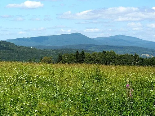
Photos of Světlá hora
-
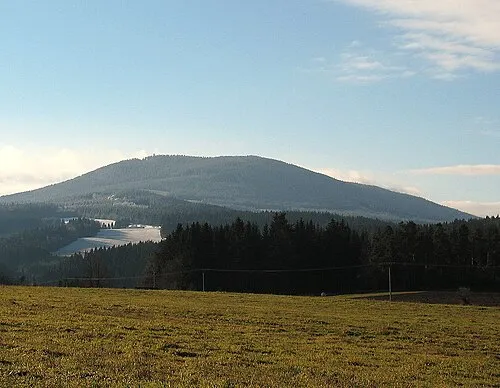
Boubín Dingoa at Czech Wikipedia · CC BY-SA 3.0 -
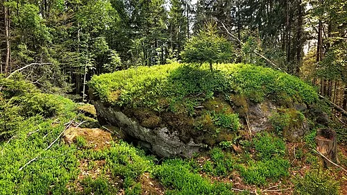
Polecký vrch Maoman · CC BY-SA 4.0


Climate of Světlá hora
Best months for sightseeingBest months for sightseeing: July–August.
This month · November
A cold month
Day 2° · Night -4° · Rain 84 mm
- Hottest month
- July (day 18°)
- Coldest month
- January (night -8°)
- Wettest month
- July (123 mm)
- Driest month
- April (63 mm)
Bars: average monthly low and high temperature. Below: precipitation. Monthly averages for 1970–2000 at about 18 km resolution, adjusted for elevation. Highlighted months are mild and relatively dry. Source: WorldClim 2.1 (CC BY 4.0).
Show values as a table
| Month | Jan | Feb | Mar | Apr | May | Jun | Jul | Aug | Sep | Oct | Nov | Dec |
|---|---|---|---|---|---|---|---|---|---|---|---|---|
| Average high (°C) | -1° | 0° | 3° | 8° | 14° | 16° | 18° | 18° | 14° | 9° | 2° | -1° |
| Average low (°C) | -8° | -8° | -5° | -2° | 3° | 6° | 8° | 8° | 4° | 0° | -4° | -7° |
| Precipitation (mm) | 95 | 74 | 81 | 63 | 80 | 107 | 123 | 94 | 82 | 76 | 84 | 111 |
How to get to Světlá hora
The nearest airport is České Budějovice South Bohemian Airport (JCL), 52 km to the east as the crow flies. The nearest large city is Linz, 88 km to the southeast.
Airports
- České Budějovice South Bohemian Airport (JCL) České Budějovice 52 kmeast
- Linz-Hörsching Airport (LNZ) Linz 92 kmsouth
- Václav Havel Airport Prague (PRG) Prague 128 kmnorth
Nearby large cities
- Linz Population: 204.8K 88 kmsoutheast
- Regensburg Population: 151.4K 118 kmwest
- Prague Population: 1.2M 131 kmnortheast
- Salzburg Population: 157.2K 143 kmsouth
- Ingolstadt Population: 120.7K 170 kmwest
Straight-line distances; road distances are longer. Airport data: OurAirports.
Day trips from Světlá hora
Within 100 km: 106 historic and cultural sites, 788 natural sites, 301 lakes, rivers and coasts.
0–25 km124 places
- Rachelsee Lake 23 kmW
- Rindelberg Mountain 20 kmSW
- Mitterling Mountain 19 kmSW
- Hirschkopf Mountain 21 kmW
25–60 km401 places
- Biber-Revier River 57 kmNW
- Rannasee Lake 53 kmS
- Teufelsschüssel Mountain 30 kmS
- Zwiesel Berg Mountain 32 kmS
60–100 km670 places
- Gusen I Concentration Camp Historic site 100 kmSE
- Unter-Rosenhofer Teich Lake 86 kmSE
- Ober-Rosenhofer Teich Lake 85 kmSE
- Steinberg Mountain 97 kmE
Straight-line distances.
Nearest towns and villages
-
 Nový Svět Village, Borová Lada3.7 km W
-
 Šindlov Village, Borová Lada4.1 km NW
-
 Paseka Village, Borová Lada5.3 km NW
-
Borová Lada Village, Borová Lada4.7 km W
-
Kubova Huť Village, Kubova Huť4.6 km SE
-
 Polka Village, Horní Vltavice6.5 km S
Nearby attractions & nature
Everything nearby-
Boubín Mountain, Buk7.3 km E
-
Polecký vrch Mountain, Borová Lada6.8 km SW
-
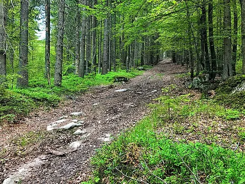 Strážný Mountain, Strážný9.5 km S
-
Přiba Mountain, Nové Hutě8.3 km NW
-
Vysoký stolec Mountain, Kvilda8.3 km W
-
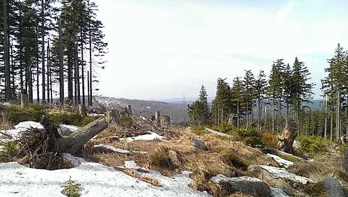 Stráž Mountain, Kvilda11 km W
-
Stolová hora Mountain, Kvilda9 km W
-
 Bobík Mountain, Volary12 km SE
Sources & licences
Data last updated: · 2 independent sources