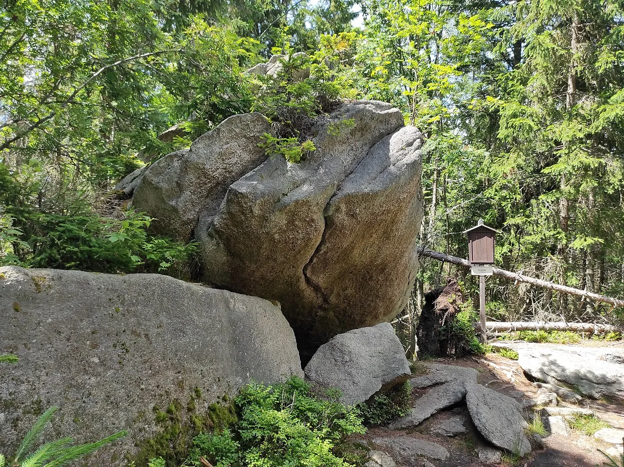
- Elevation
- 1,049 m
- above sea level
- Local time
- UTC+01:00
- Europe/Prague · UTC+01:00
- Airports
- JCL České Budějovice South Bohemian Airport41 km
- LNZ Linz-Hörsching Airport68 km
About Perník
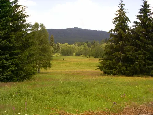
Perník is a mountain. Location: Stožec, Prachatice District. Elevation: 1,049 m. The best months to visit are July–August. The nearest airport is České Budějovice South Bohemian Airport (41 km). Nearby sights include Jelenská hora [Stožec] and Hvozd.
Photos of Perník
-

Jana Sekyrová · CC BY-SA 4.0 -
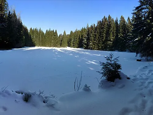
Jelenská hora [Stožec] Czeva ; cropped and colored by Maoman · CC BY-SA 3.0 -
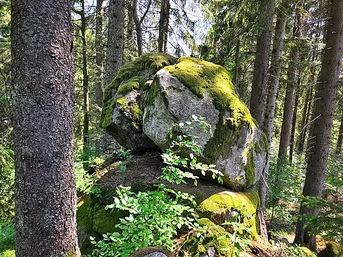
Křemenná Maoman · CC BY-SA 4.0 -
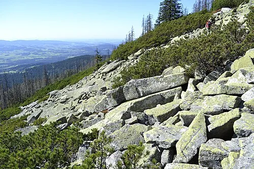
Bayerischer Plöckenstein High Contrast · CC BY 3.0 de


Climate of Perník
Best months for sightseeingBest months for sightseeing: July–August.
This month · November
A cold month
Day 3° · Night -3° · Rain 90 mm
- Hottest month
- July (day 18°)
- Coldest month
- January (night -7°)
- Wettest month
- July (136 mm)
- Driest month
- April (73 mm)
Bars: average monthly low and high temperature. Below: precipitation. Monthly averages for 1970–2000 at about 18 km resolution, adjusted for elevation. Highlighted months are mild and relatively dry. Source: WorldClim 2.1 (CC BY 4.0).
Show values as a table
| Month | Jan | Feb | Mar | Apr | May | Jun | Jul | Aug | Sep | Oct | Nov | Dec |
|---|---|---|---|---|---|---|---|---|---|---|---|---|
| Average high (°C) | -1° | 0° | 4° | 8° | 14° | 17° | 18° | 18° | 14° | 9° | 3° | 0° |
| Average low (°C) | -7° | -7° | -4° | -1° | 4° | 7° | 9° | 9° | 5° | 1° | -3° | -6° |
| Precipitation (mm) | 96 | 79 | 88 | 73 | 87 | 118 | 136 | 105 | 90 | 78 | 90 | 113 |
How to get to Perník
The nearest airport is České Budějovice South Bohemian Airport (JCL), 41 km to the east as the crow flies. The nearest large city is Linz, 64 km to the southeast.
Airports
- České Budějovice South Bohemian Airport (JCL) České Budějovice 41 kmeast
- Linz-Hörsching Airport (LNZ) Linz 68 kmsouth
- Salzburg Airport (SZG) Salzburg 132 kmsouthwest
Nearby large cities
- Linz Population: 204.8K 64 kmsoutheast
- Salzburg Population: 157.2K 130 kmsouthwest
- Regensburg Population: 151.4K 134 kmwest
- Prague Population: 1.2M 146 kmnorth
- Ingolstadt Population: 120.7K 182 kmwest
Straight-line distances; road distances are longer. Airport data: OurAirports.
Day trips from Perník
Within 100 km: 126 historic and cultural sites, 781 natural sites, 321 lakes, rivers and coasts.
0–25 km116 places
- Teufelsschüssel Mountain 9 kmSW
- Zwiesel Berg Mountain 10 kmS
- Hochbühel Mountain 21 kmS
- Hochficht Mountain 9 kmS
25–60 km385 places
- Rannasee Lake 33 kmS
- Zeissberg Mountain 56 kmSE
- Sternstein Mountain 39 kmSE
- Steinbühel [Windhaag bei Freistadt] Mountain 54 kmSE
60–100 km727 places
- Biber-Revier River 79 kmNW
- Gusen I Concentration Camp Historic site 75 kmSE
- Unter-Rosenhofer Teich Lake 64 kmSE
- Ober-Rosenhofer Teich Lake 63 kmSE
Straight-line distances.
Nearest towns and villages
Nearby attractions & nature
Everything nearby-
Jelenská hora [Stožec] Mountain, Stožec1.9 km NW
-
Hvozd Mountain, Stožec1.8 km N
-
Bayerischer Plöckenstein Mountain, Nová Pec7.3 km SW
-
Křemenná Mountain, Volary7.3 km N
-
Rollmannsberg Mountain, Bavaria7.9 km W
-
 Stožec Mountain, Stožec8.9 km NW
-
Buchenwald Natural site, Upper Austria6.2 km SW
-
Adalbert-Stifter-Quelle Natural site, Upper Austria6.2 km SW
Sources & licences
Data last updated: · 2 independent sources