- Elevation
- 476 m
- above sea level
- Local time
- UTC+01:00
- Europe/Prague · UTC+01:00
- Airports
- DRS Dresden Airport52 km
- PRG Václav Havel Airport Prague88 km
About Vosí vrch
Vosí vrch is a mountain. Location: Jetřichovice, Děčín District. Elevation: 476 m. The best months to visit are June–August. The nearest airport is Dresden Airport (52 km). Nearby sights include Kramerův kamen and Rudolfův kámen.
Photos of Vosí vrch
-
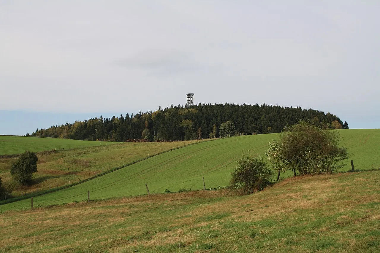
Weifberg Dreizung · CC BY-SA 3.0 -
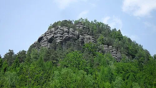
Großer Teichstein Carsten Pietzsch · CC0 -
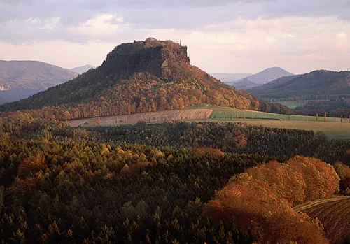
Děčínská vrchovina Iven Eissner · CC BY-SA 3.0 -
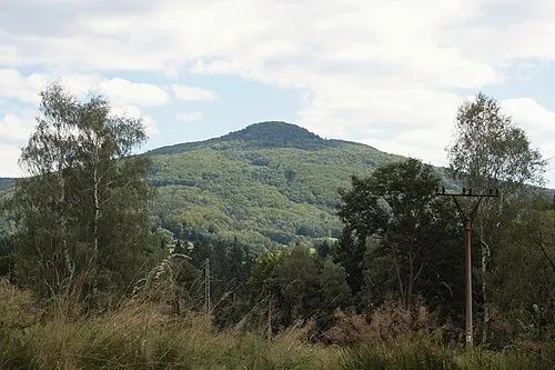
Studenec Matěj "Dědek" Baťha · CC BY-SA 4.0 -
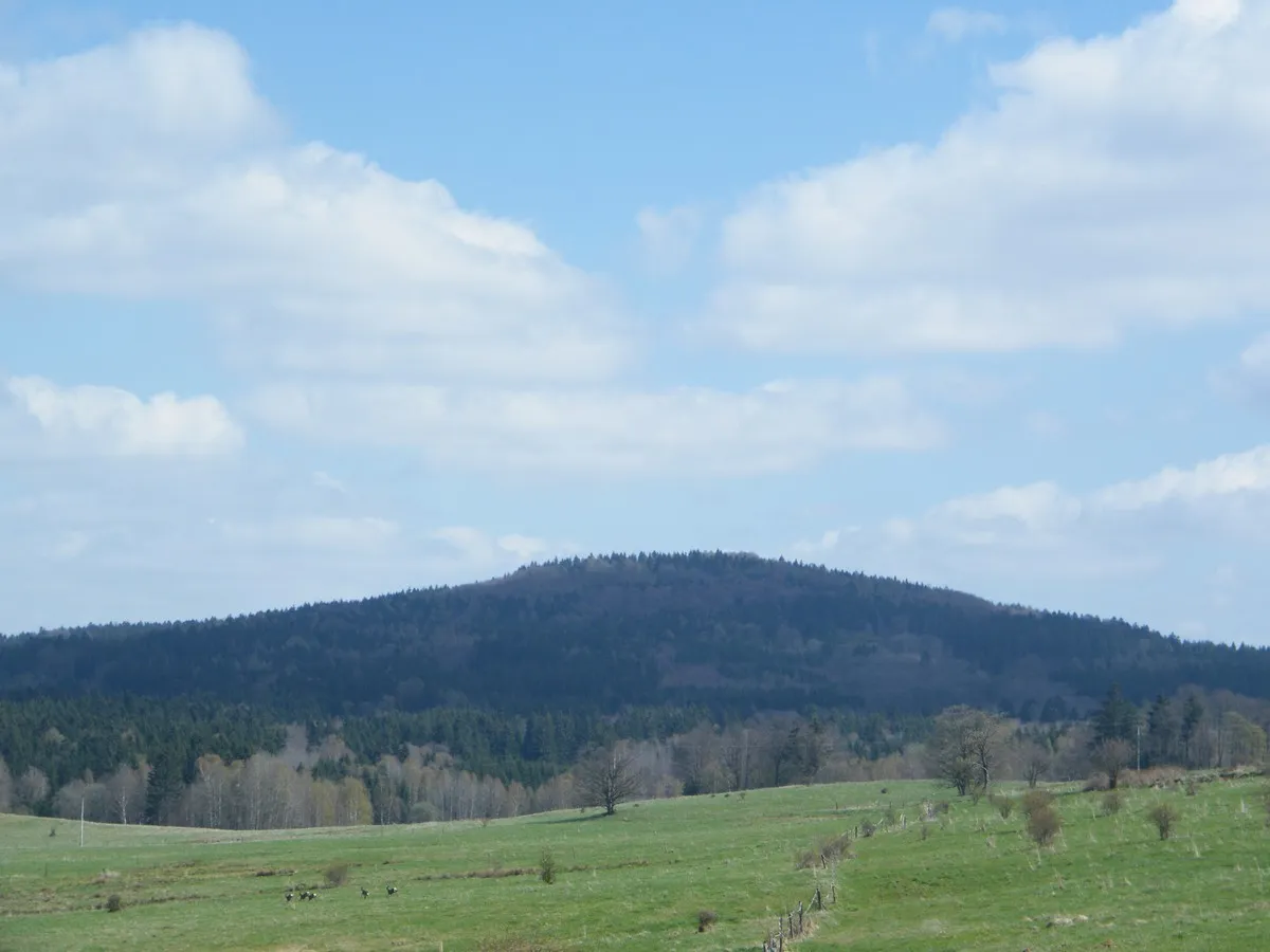
Plešný Gumideck · CC BY-SA 4.0


Climate of Vosí vrch
Best months for sightseeingBest months for sightseeing: June–August.
This month · November
A cold month
Day 5° · Night 0° · Rain 61 mm
- Hottest month
- August (day 21°)
- Coldest month
- January (night -4°)
- Wettest month
- July (97 mm)
- Driest month
- April (36 mm)
Bars: average monthly low and high temperature. Below: precipitation. Monthly averages for 1970–2000 at about 18 km resolution, adjusted for elevation. Highlighted months are mild and relatively dry. Source: WorldClim 2.1 (CC BY 4.0).
Show values as a table
| Month | Jan | Feb | Mar | Apr | May | Jun | Jul | Aug | Sep | Oct | Nov | Dec |
|---|---|---|---|---|---|---|---|---|---|---|---|---|
| Average high (°C) | 0° | 2° | 6° | 11° | 17° | 19° | 21° | 21° | 17° | 11° | 5° | 2° |
| Average low (°C) | -4° | -4° | -1° | 2° | 7° | 10° | 12° | 11° | 8° | 4° | 0° | -3° |
| Precipitation (mm) | 54 | 48 | 57 | 36 | 70 | 71 | 97 | 95 | 61 | 53 | 61 | 56 |
How to get to Vosí vrch
The nearest airport is Dresden Airport (DRS), 52 km to the northwest as the crow flies. The nearest large city is Dresden, 50 km to the west.
Airports
- Dresden Airport (DRS) Dresden 52 kmnorthwest
- Václav Havel Airport Prague (PRG) Prague 88 kmsouth
- Karlovy Vary Airport (KLV) Karlovy Vary 130 kmsouthwest
Nearby large cities
- Dresden Population: 564.9K 50 kmwest
- Prague Population: 1.2M 89 kmsouth
- Chemnitz Population: 247.2K 104 kmwest
- Leipzig Population: 505K 151 kmwest
- Gera Population: 104.7K 163 kmwest
Straight-line distances; road distances are longer. Airport data: OurAirports.
Day trips from Vosí vrch
Within 100 km: 204 historic and cultural sites, 1,464 natural sites, 293 lakes, rivers and coasts.
0–25 km257 places
- Taubenteich Lake 20 kmW
- Fuchs-Teich Lake 22 kmW
- Zirkelstein Mountain 13 kmW
- Weifaer Höhe Mountain 21 kmN
25–60 km767 places
- Erzgebirge Mountain 41 kmW
- Pirna-Sonnenstein Mountain 32 kmW
- Lysá Mountain 48 kmSE
- Hořidla Mountain 40 kmS
60–100 km937 places
- Tvarožník Mountain 79 kmE
- Jastrzębiec Mountain 77 kmE
- Obersee Lake 61 kmN
- Wildesee Lake 62 kmN
Straight-line distances.
Nearest towns and villages
-
Jetřichovice Village, Jetřichovice4.2 km S
-
 Zadní Jetřichovice Village, Jetřichovice3.2 km W
-
 Hinterhermsdorf Village, Sebnitz4.9 km NW
-
 Zadní Doubice Village, Doubice3 km N
-
Doubice Village, Doubice4.3 km E
-
 Hely Village, Krásná Lípa5.8 km NE
Nearby attractions & nature
Everything nearby-
Kramerův kamen Mountain, Jetřichovice1 km S
-
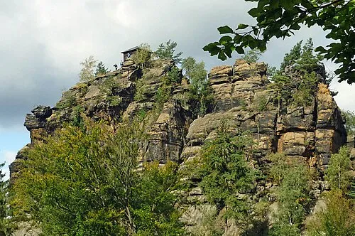 Rudolfův kámen Mountain, Jetřichovice2 km S
-
Jedlina Mountain, Jetřichovice1.5 km SE
-
Eulenhübel Mountain, Jetřichovice2.9 km SW
-
Koliště Mountain, Jetřichovice2.8 km SW
-
Suchý vrch Mountain, Jetřichovice2.9 km SE
-
Hengstberg Mountain, Doubice3.3 km NE
-
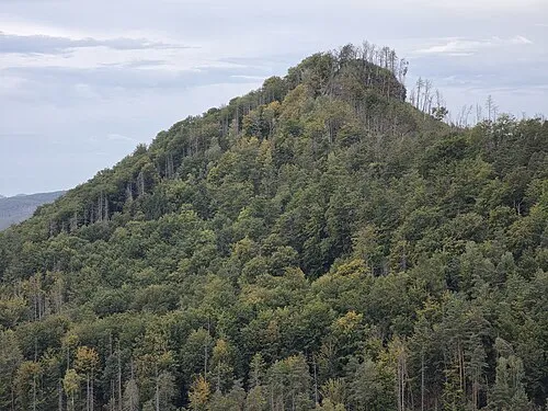 Větrovec Mountain, Jetřichovice4.9 km W
Sources & licences
Data last updated: · 2 independent sources