Jiřetín pod Jedlovou
Located in Děčín District, Ústí nad Labem Region Coordinates: 50°51′28″ N 14°34′14″ E
- Elevation
- 625 m
- above sea level
- Local time
- UTC+01:00
- Europe/Prague · UTC+01:00
- Places inside
- 6
- listed under Jiřetín pod Jedlovou
- Airports
- DRS Dresden Airport64 km
- PRG Václav Havel Airport Prague87 km
About Jiřetín pod Jedlovou
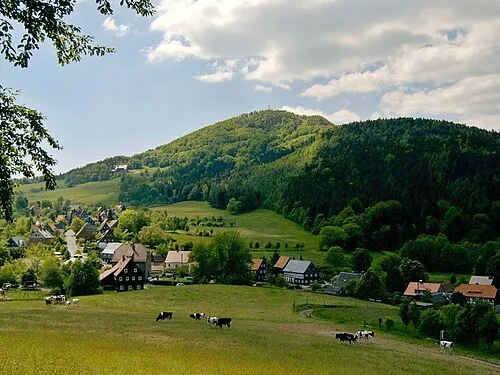
Jiřetín pod Jedlovou is a municipality. Location: Děčín District, Ústí nad Labem Region. Elevation: 625 m. The best months to visit are June–August. The nearest airport is Dresden Airport (64 km). Nearby sights include Pěnkavči vrch and Velká Tisová.
Photos of Jiřetín pod Jedlovou
-
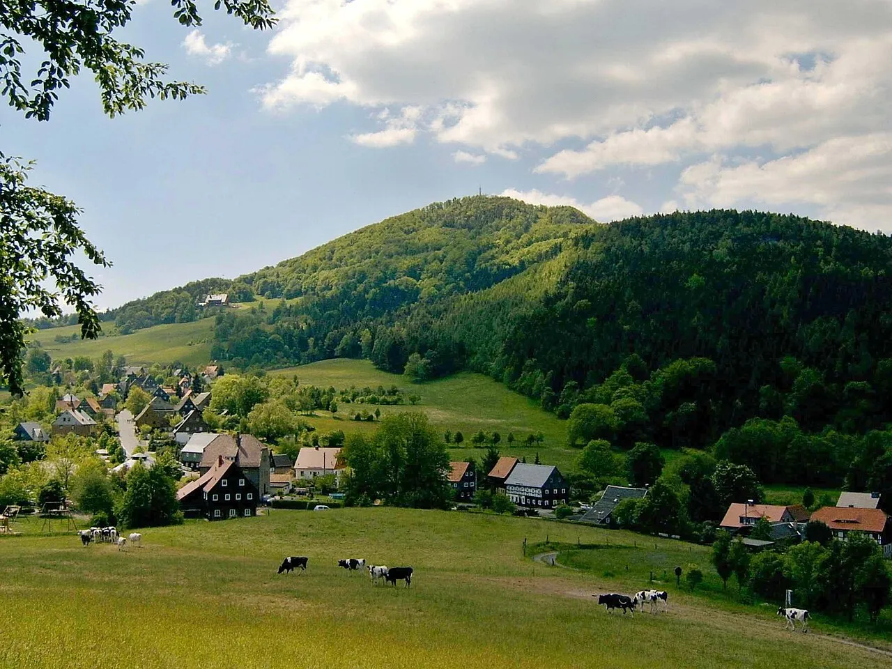
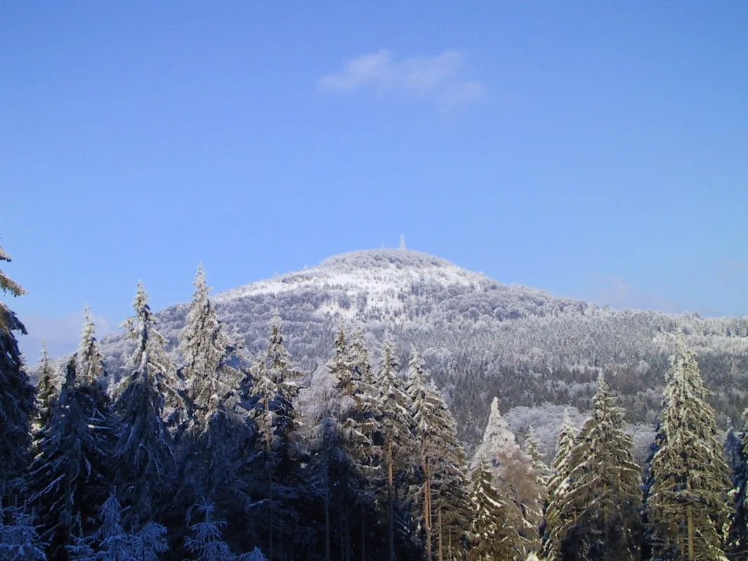
Lausche Ralf Gruner · Public domain -
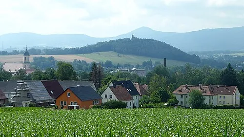
Burgs-Berg Cieslak Jürgen · CC BY-SA 3.0 -
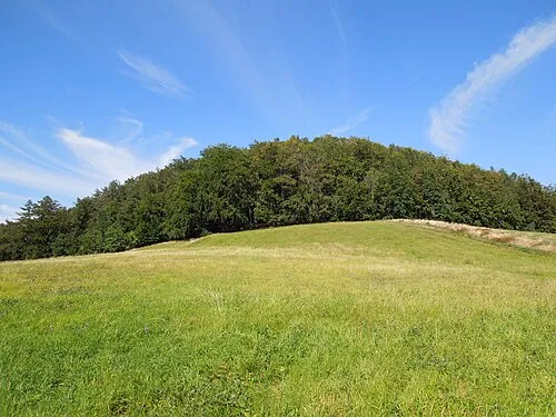
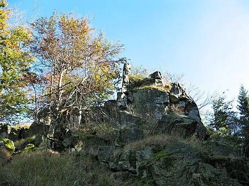
Butterberg RoesslerP · CC BY-SA 4.0 -
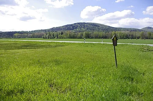
Buchberg RoesslerP · CC BY-SA 4.0 -
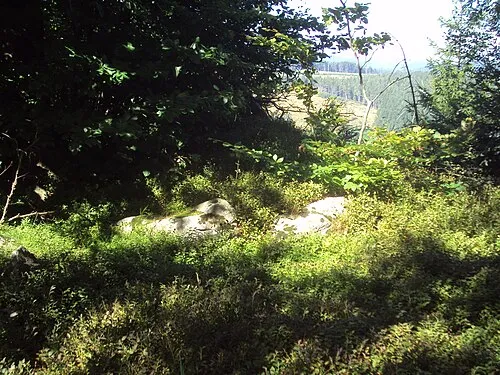
Suchý vrch Zákupák · Public domain


Climate of Jiřetín pod Jedlovou
Best months for sightseeingBest months for sightseeing: June–August.
This month · November
A cold month
Day 4° · Night -1° · Rain 56 mm
- Hottest month
- August (day 21°)
- Coldest month
- January (night -5°)
- Wettest month
- July (98 mm)
- Driest month
- April (39 mm)
Bars: average monthly low and high temperature. Below: precipitation. Monthly averages for 1970–2000 at about 18 km resolution, adjusted for elevation. Highlighted months are mild and relatively dry. Source: WorldClim 2.1 (CC BY 4.0).
Show values as a table
| Month | Jan | Feb | Mar | Apr | May | Jun | Jul | Aug | Sep | Oct | Nov | Dec |
|---|---|---|---|---|---|---|---|---|---|---|---|---|
| Average high (°C) | -1° | 1° | 5° | 10° | 16° | 18° | 20° | 21° | 16° | 10° | 4° | 1° |
| Average low (°C) | -5° | -5° | -2° | 1° | 6° | 9° | 10° | 10° | 7° | 4° | -1° | -4° |
| Precipitation (mm) | 50 | 44 | 53 | 39 | 75 | 72 | 98 | 96 | 58 | 51 | 56 | 54 |
How to get to Jiřetín pod Jedlovou
The nearest airport is Dresden Airport (DRS), 64 km to the northwest as the crow flies. The nearest large city is Dresden, 62 km to the west.
Airports
- Dresden Airport (DRS) Dresden 64 kmnorthwest
- Václav Havel Airport Prague (PRG) Prague 87 kmsouth
- Pardubice Airport (PED) Pardubice 125 kmsoutheast
Nearby large cities
- Dresden Population: 564.9K 62 kmwest
- Prague Population: 1.2M 86 kmsouth
- Chemnitz Population: 247.2K 116 kmwest
- Leipzig Population: 505K 163 kmwest
- Gera Population: 104.7K 175 kmwest
Straight-line distances; road distances are longer. Airport data: OurAirports.
Day trips from Jiřetín pod Jedlovou
Within 100 km: 192 historic and cultural sites, 1,375 natural sites, 242 lakes, rivers and coasts.
0–25 km191 places
- Vosí vrch Mountain 12 kmW
- Zirkelstein Mountain 25 kmW
- Zigeunerberg Mountain 14 kmE
- Töpfer Mountain 13 kmE
25–60 km651 places
- Erzgebirge Mountain 53 kmW
- Pirna-Sonnenstein Mountain 45 kmW
- Lysá Mountain 39 kmSE
- Hořidla Mountain 41 kmSW
60–100 km967 places
- Tvarožník Mountain 67 kmE
- Jastrzębiec Mountain 65 kmE
- Bielec Mountain 96 kmE
- Buschteich Lake 63 kmN
Straight-line distances.
Places in Jiřetín pod Jedlovou
6 placesJiřetín pod Jedlovou
Population: 587
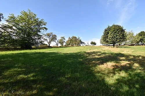
Nearby attractions & nature
Everything nearby-
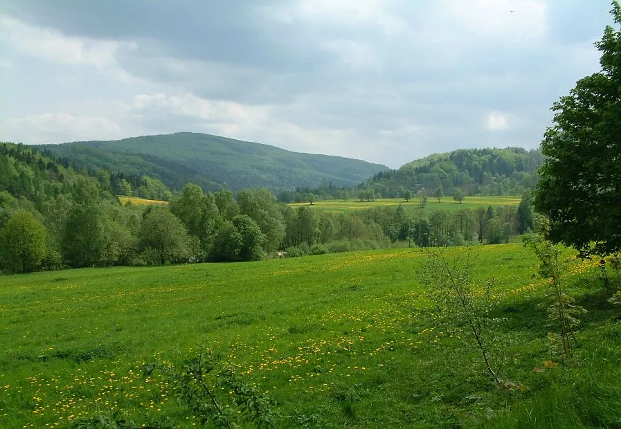 Pěnkavči vrch Mountain, Dolní Podluží3 km E
-
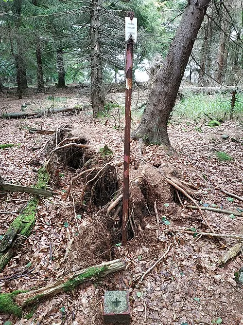 Velká Tisová Mountain, Kytlice2.7 km SW
-
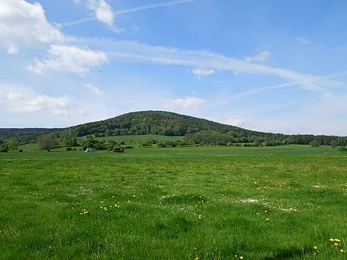 Weberberg Mountain, Dolní Podluží3.4 km E
-
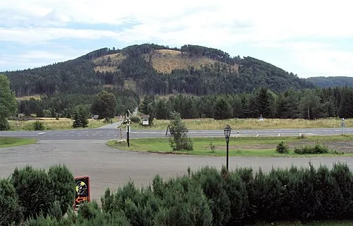 Bouřný Mountain, Mařenice4.1 km SE
-
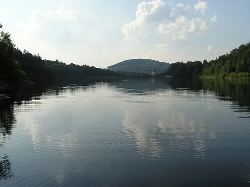 Plešivec Mountain, Rybniště4.5 km W
-
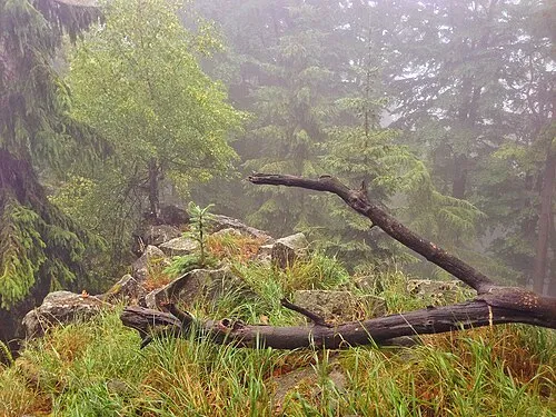 Sokol Mountain, Kytlice4.5 km SW
-
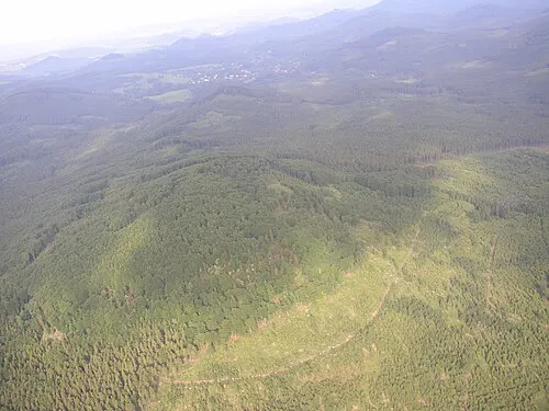 Velký Buk Mountain, Svor4.7 km S
-
 Lausche Mountain, Saxony5.5 km E
Sources & licences
Data last updated: