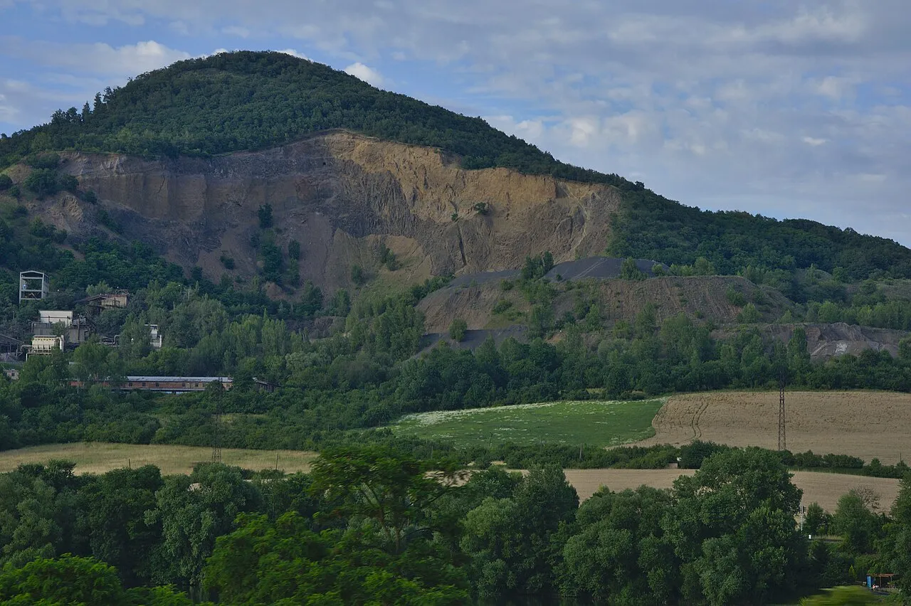
- Elevation
- 459 m
- above sea level
- Local time
- UTC+01:00
- Europe/Prague · UTC+01:00
- Airports
- PRG Václav Havel Airport Prague56 km
- DRS Dresden Airport64 km
About Deblík
Deblík is a mountain. Location: Libochovany, Litoměřice District. Elevation: 459 m. The best months to visit are June–August. The nearest airport is Václav Havel Airport Prague (56 km). Nearby sights include Varhošť and Vaňovský vrch.
At a glance
- Topographic prominence
- 171 m
Source: Wikidata
Photos of Deblík
-

Milda 444 · CC BY-SA 4.0 -

I would appreciate being notified if you use my work outside Wikimedia. More of my work can be found in my personal gall · CC BY-SA 4.0 -

Juan de Vojníkov · CC BY-SA 3.0 -

Juandev · CC BY-SA 3.0 -

Jiří Komárek · CC BY-SA 4.0


Climate of Deblík
Best months for sightseeingBest months for sightseeing: June–August.
This month · November
A cold month
Day 5° · Night 0° · Rain 45 mm
- Hottest month
- August (day 22°)
- Coldest month
- January (night -5°)
- Wettest month
- July (83 mm)
- Driest month
- April (33 mm)
Bars: average monthly low and high temperature. Below: precipitation. Monthly averages for 1970–2000 at about 18 km resolution, adjusted for elevation. Highlighted months are mild and relatively dry. Source: WorldClim 2.1 (CC BY 4.0).
Show values as a table
| Month | Jan | Feb | Mar | Apr | May | Jun | Jul | Aug | Sep | Oct | Nov | Dec |
|---|---|---|---|---|---|---|---|---|---|---|---|---|
| Average high (°C) | 0° | 2° | 7° | 12° | 18° | 20° | 22° | 22° | 17° | 12° | 5° | 2° |
| Average low (°C) | -5° | -4° | -1° | 3° | 7° | 10° | 12° | 12° | 8° | 4° | 0° | -3° |
| Precipitation (mm) | 36 | 34 | 43 | 33 | 66 | 75 | 83 | 77 | 51 | 44 | 45 | 40 |
How to get to Deblík
The nearest airport is Václav Havel Airport Prague (PRG), 56 km to the south as the crow flies. The nearest large city is Dresden, 56 km to the northwest.
Airports
- Václav Havel Airport Prague (PRG) Prague 56 kmsouth
- Dresden Airport (DRS) Dresden 64 kmnorth
- Karlovy Vary Airport (KLV) Karlovy Vary 91 kmsouthwest
Nearby large cities
- Dresden Population: 564.9K 56 kmnorthwest
- Prague Population: 1.2M 61 kmsoutheast
- Chemnitz Population: 247.2K 84 kmwest
- Gera Population: 104.7K 143 kmwest
- Leipzig Population: 505K 145 kmnorthwest
Straight-line distances; road distances are longer. Airport data: OurAirports.
Day trips from Deblík
Within 100 km: 234 historic and cultural sites, 1,597 natural sites, 251 lakes, rivers and coasts.
0–25 km61 places
- Hořidla Mountain 16 kmE
- Lehmbach Natural site 15 kmNW
- Harthe Natural site 25 kmNW
- Traugotthöhe Mountain 23 kmNW
25–60 km749 places
- Erzgebirge Mountain 39 kmNW
- Pirna-Sonnenstein Mountain 42 kmN
- Lysá Mountain 53 kmE
- Vosí vrch Mountain 42 kmNE
60–100 km1,272 places
- Stoličná Mountain 73 kmW
- Svatý Prokop Landmark 66 kmSW
- Buschteich Lake 97 kmN
- Obersee Lake 98 kmN
Straight-line distances.
Nearest towns and villages
-
Libochovany Village, Libochovany2.3 km SW
-
Dolní Zálezly Village, Dolní Zálezly1.6 km NW
-
Prackovice nad Labem Village, Prackovice nad Labem2.3 km SW
-
Církvice Village, Ústí nad Labem1.3 km NW
-
Kamýk Village, Kamýk3.4 km SE
-
Dolní Zálezly Municipality, Okres Ústí nad Labem1.8 km N
Nearby attractions & nature
Everything nearby-
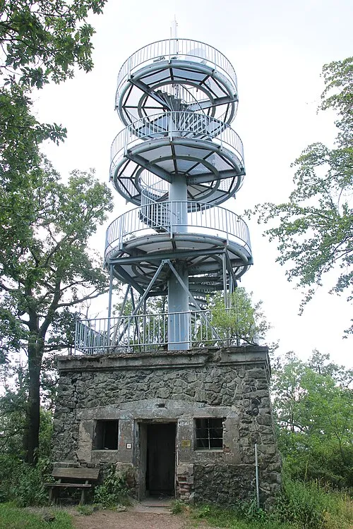 Varhošť Mountain, Hlinná3.4 km E
-
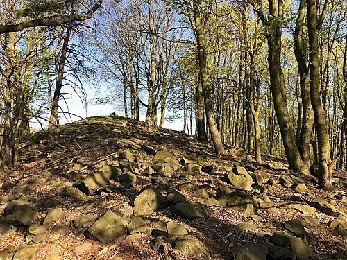 Vaňovský vrch Mountain, Stebno3.3 km N
-
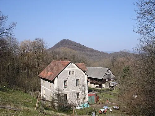 Vysoký Ostrý Mountain, Ústí nad Labem6.1 km N
-
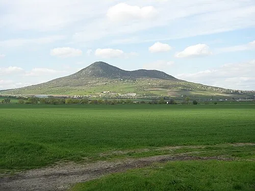 Lovoš Mountain, Velemín6.8 km S
-
Trpasličí kameny Mountain, Malečov5.9 km NE
-
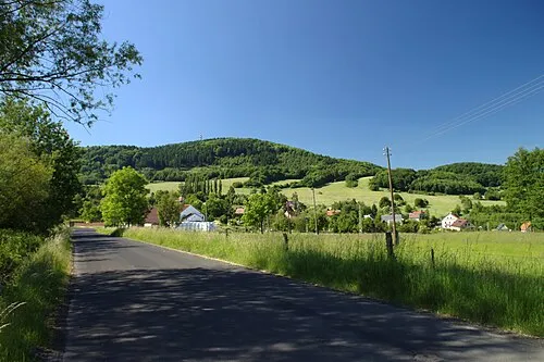 Kukla Mountain, Malečov6.7 km NE
-
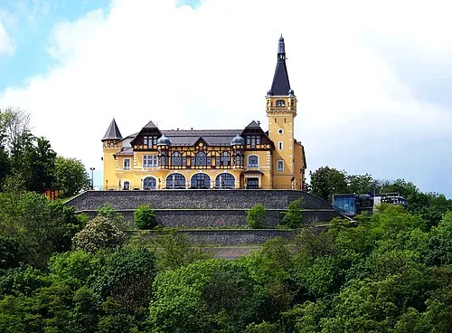 Větruše Mountain, Ústí nad Labem7.9 km N
-
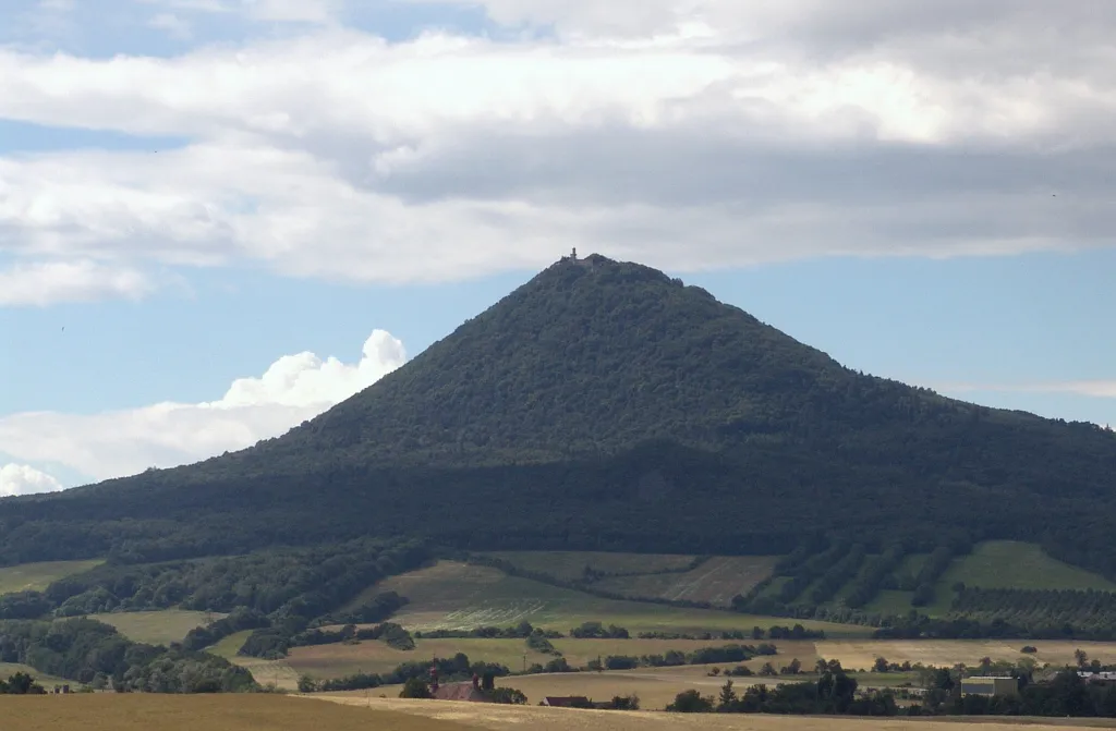 Milešovka Mountain, Velemín9.2 km W
Sources & licences
Data last updated: · 2 independent sources