Slavětín
Located in Havlíčkův Brod District, Vysocina Coordinates: 49°40′21″ N 15°46′30″ E
- Elevation
- 596 m
- above sea level
- Local time
- UTC+01:00
- Europe/Prague · UTC+01:00
- Places inside
- 1
- listed under Slavětín
About Slavětín
Slavětín is a municipality. Location: Havlíčkův Brod District, Vysocina. Elevation: 596 m.
In comparison
Places in Slavětín
1 place-
Slavětín Village93
Nearby attractions & nature
Everything nearby-
Friedlerův kopec Mountain, Chotěboř6 km W
-
Pořežínský kopec Mountain, Velká Losenice10 km S
-
Vysoká Mountain, Vysoká16 km SW
-
Strážný vrch Mountain, Uhelná Příbram18 km NW
-
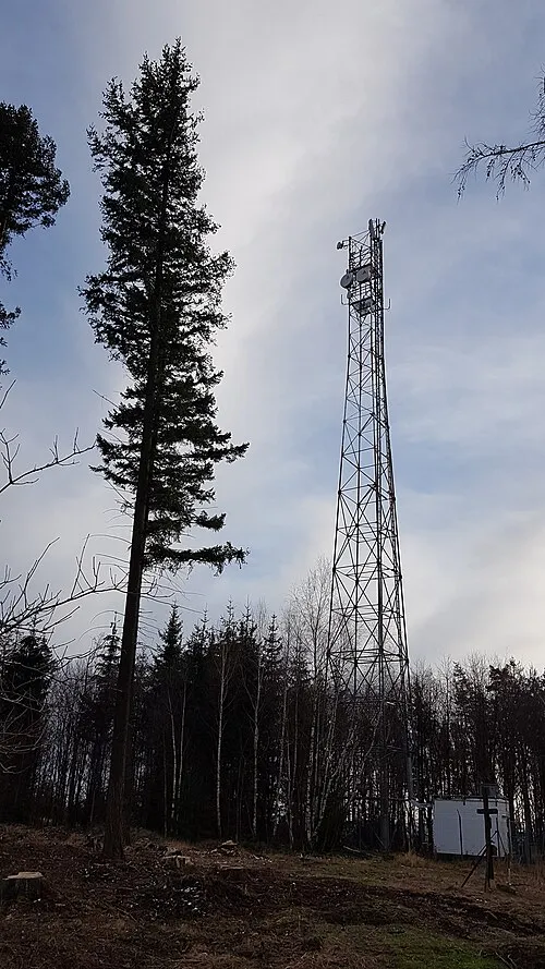 Bučina Mountain, Třemošnice25 km N
-
Kříby Mountain, Nové Město na Moravě23 km E
-
Bubnovaný kopec Mountain, Březiny23 km E
Sources & licences
Data last updated: