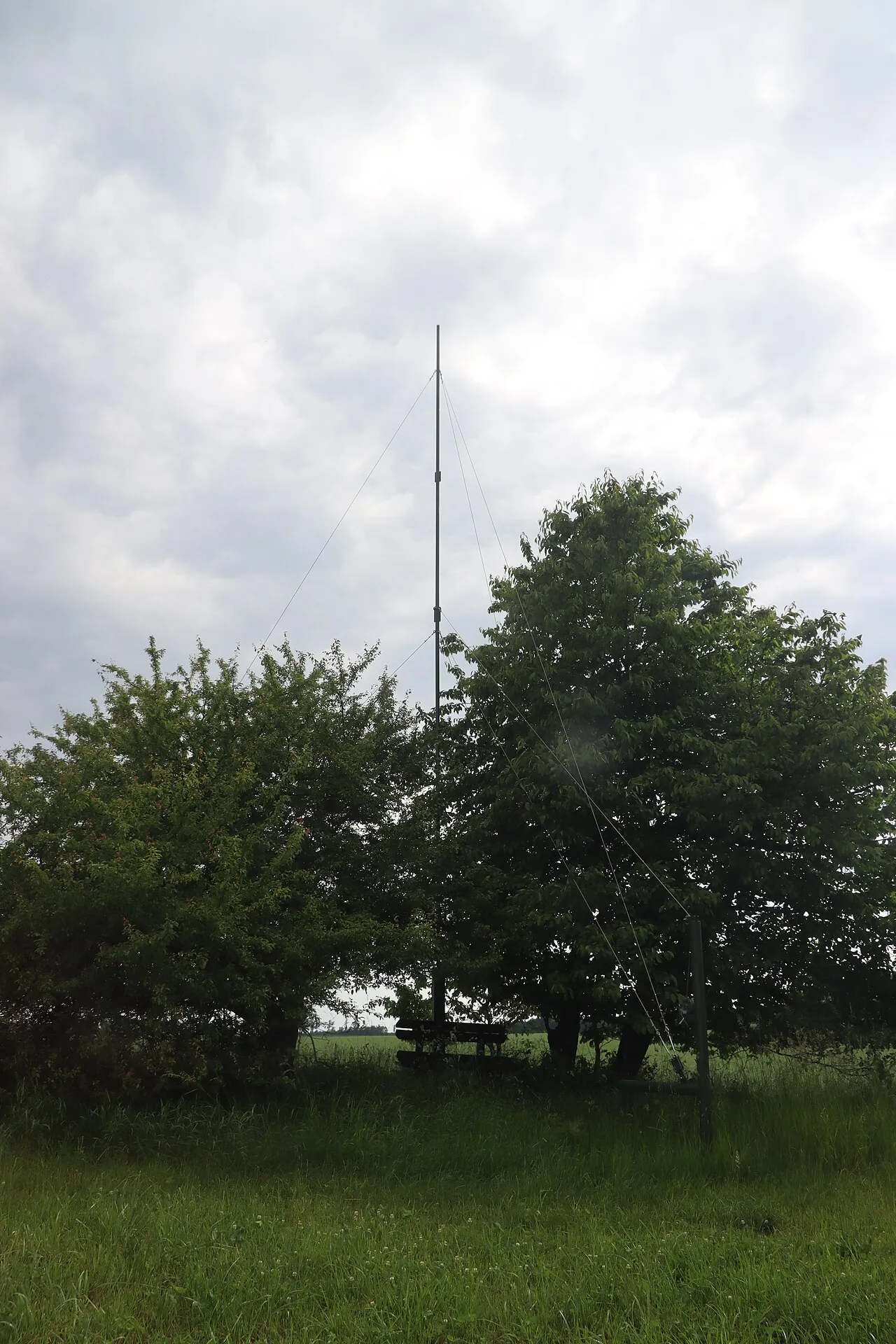
- Elevation
- 549 m
- above sea level
- Local time
- UTC+01:00
- Europe/Prague · UTC+01:00
- Airports
- BRQ Brno-Tuřany Airport73 km
- JCL České Budějovice South Bohemian Airport94 km
About Domamilský kopec
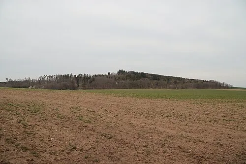
Domamilský kopec is a mountain. Location: Domamil, Třebíč District. Elevation: 549 m. The best months to visit are June–August. The nearest airport is Brno-Tuřany Airport (73 km). Nearby sights include Třebelovický kopec and Budějovický kopec.
Climate of Domamilský kopec
Best months for sightseeingBest months for sightseeing: June–August.
This month · November
A cold month
Day 5° · Night -1° · Rain 41 mm
- Hottest month
- August (day 23°)
- Coldest month
- January (night -5°)
- Wettest month
- June (83 mm)
- Driest month
- January (26 mm)
Bars: average monthly low and high temperature. Below: precipitation. Monthly averages for 1970–2000 at about 18 km resolution, adjusted for elevation. Highlighted months are mild and relatively dry. Source: WorldClim 2.1 (CC BY 4.0).
Show values as a table
| Month | Jan | Feb | Mar | Apr | May | Jun | Jul | Aug | Sep | Oct | Nov | Dec |
|---|---|---|---|---|---|---|---|---|---|---|---|---|
| Average high (°C) | 0° | 2° | 6° | 12° | 17° | 20° | 22° | 23° | 18° | 11° | 5° | 1° |
| Average low (°C) | -5° | -5° | -1° | 2° | 7° | 10° | 12° | 11° | 8° | 4° | -1° | -4° |
| Precipitation (mm) | 26 | 27 | 33 | 43 | 63 | 83 | 81 | 65 | 46 | 34 | 41 | 33 |
How to get to Domamilský kopec
The nearest airport is Brno-Tuřany Airport (BRQ), 73 km to the east as the crow flies. For international flights: České Budějovice South Bohemian Airport (JCL) (94 km). The nearest large city is Brno, 68 km to the east.
Airports
- Brno-Tuřany Airport (BRQ) Brno 73 kmeast
- České Budějovice South Bohemian Airport (JCL) České Budějovice 94 kmwest
- Pardubice Airport (PED) Pardubice 104 kmnorth
Nearby large cities
- Brno Population: 404.3K 68 kmeast
- Linz Population: 204.8K 135 kmsouthwest
- Prague Population: 1.2M 145 kmnorthwest
- Győr Population: 129.3K 211 kmsoutheast
- Graz Population: 303.3K 224 kmsouth
Straight-line distances; road distances are longer. Airport data: OurAirports.
Day trips from Domamilský kopec
Within 100 km: 157 historic and cultural sites, 1,502 natural sites, 317 lakes, rivers and coasts.
0–25 km144 places
- Galgenberg Mountain 23 kmS
- Niklasberg Mountain 21 kmSW
- Steinbigl Mountain 22 kmSW
- Galgenberg Mountain 23 kmSW
25–60 km791 places
- Královský vršek Mountain 38 kmN
- Kranbühel Mountain 36 kmSW
- Hutbühel Mountain 43 kmSW
- Geißbühel Mountain 41 kmSW
60–100 km1,041 places
- Gassner Camel Riding School Natural site 96 kmS
- Waldsee Lake 83 kmS
- Unter-Rosenhofer Teich Lake 94 kmSW
- Ober-Rosenhofer Teich Lake 94 kmSW
Straight-line distances.
Nearest towns and villages
Nearby attractions & nature
Everything nearby-
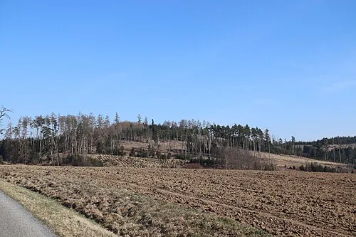 Třebelovický kopec Mountain, Třebelovice3.7 km S
-
Budějovický kopec Mountain, Rácovice4.4 km SE
-
Budkovský vrch[Rácovice] Mountain, Rácovice4.8 km S
-
Kosová Mountain, Moravské Budějovice5.3 km SE
-
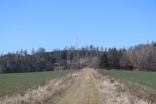 V Kopcích Mountain, Želetava5.9 km N
-
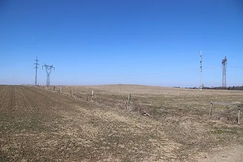 Rudný Mountain, Želetava6.8 km N
-
 Vráž Mountain, Budkov6.9 km SW
-
Špičák Mountain, Budkov6.6 km SW
Sources & licences
Data last updated: · 2 independent sources