Hesselø
Located in Halsnæs Kommune, Capital Region Coordinates: 56°11′46″ N 11°42′24″ E
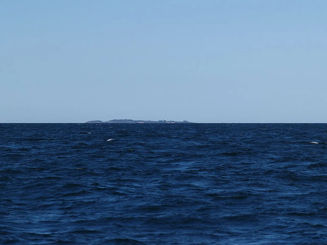
- Elevation
- 14 m
- above sea level
- Local time
- UTC+01:00
- Europe/Copenhagen · UTC+01:00
About Hesselø
Hesselø is an island. Location: Halsnæs Kommune, Capital Region.
Hesselø is a small island of Denmark, belonging to Halsnæs Municipality, in Region Hovedstaden. The island is situated in the Kattegat, about 25 nautical miles east of Grenaa on Jutland and 15 nautical miles northwest of Zealand, it has an area of 0.71 km2. The island got its name from the common seal (in Danish, sæl), which used to be very common on the island. Hesselø was occupied by the English during the Napoleonic Wars.
Read more on Wikipedia Text: Wikipedia contributors · CC BY-SA 4.0 · shortened
At a glance
- Length
- 1.5 km
- Area
- 71 ha
Source: Wikidata
Climate of Hesselø
Best months for sightseeing: June–August.
| Month | Jan | Feb | Mar | Apr | May | Jun | Jul | Aug | Sep | Oct | Nov | Dec |
|---|---|---|---|---|---|---|---|---|---|---|---|---|
| Average high (°C) | 2° | 2° | 4° | 9° | 15° | 18° | 20° | 20° | 16° | 11° | 7° | 4° |
| Average low (°C) | -2° | -2° | 1° | 4° | 8° | 11° | 14° | 14° | 11° | 7° | 3° | 0° |
| Precipitation (mm) | 42 | 28 | 31 | 34 | 41 | 48 | 64 | 63 | 56 | 53 | 53 | 49 |
Monthly averages for 1970–2000 at about 18 km resolution, adjusted for elevation. Highlighted months are mild and relatively dry. Source: WorldClim 2.1 (CC BY 4.0).
Airports nearest to Hesselø
- Aarhus Airport (AAR) Aarhus 69 km
- Ängelholm-Helsingborg Airport (AGH) Ängelholm 72 km
- Copenhagen Roskilde Airport (RKE) Roskilde 73 km
Straight-line distance; airports with scheduled flights only. Source: OurAirports (public domain).
Nearest towns and villages
Sources & licences
Data last updated: · 2 independent sources