Kongens Lyngby
Located in Lyngby-Tårbæk Kommune, Capital Region Coordinates: 55°46′14″ N 12°30′14″ E
- Population
- 10,600
- 10.6K
- Elevation
- 25 m
- above sea level
- Local time
- UTC+01:00
- Europe/Copenhagen · UTC+01:00
- Airports
- CPH Copenhagen Kastrup Airport19 km
- RKE Copenhagen Roskilde Airport31 km
About Kongens Lyngby
Kongens Lyngby is a city. Location: Lyngby-Tårbæk Kommune, Capital Region. Population: 10,600. Elevation: 25 m.
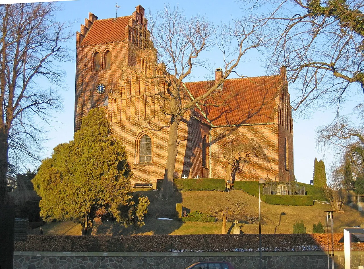
Kongens Lyngby ([ˈkʰʌŋŋ̍s ˈløŋˌpyˀ], Danish for "the King's Heather Town"; short form Lyngby) is the seat and commercial centre of Lyngby-Taarbæk Municipality in the northern suburbs of Copenhagen, Denmark. Lyngby Hovedgade is a busy shopping street and the site of a branch of Magasin du Nord as well as Lyngby Storcenter. The district is also home to several major companies, including COWI, Bang & Olufsen, ICEpower a/s and Microsoft.
Source: Wikipedia · CC BY-SA 4.0
Photos of Kongens Lyngby
-

Johan Wessman / News Oresund · CC BY 2.0 -

Finn Årup Nielsen · CC BY-SA 4.0 -

Finn Årup Nielsen · CC BY-SA 4.0 -

Steen Christensen · CC BY-SA 4.0 -

Sofie Carsten Nielsen · CC BY 2.0


Climate of Kongens Lyngby
Best months for sightseeingBest months for sightseeing: June–August.
This month · November
A cold month
Day 7° · Night 3° · Rain 58 mm
- Hottest month
- July (day 21°)
- Coldest month
- February (night -1°)
- Wettest month
- September (66 mm)
- Driest month
- February (31 mm)
Bars: average monthly low and high temperature. Below: precipitation. Monthly averages for 1970–2000 at about 18 km resolution, adjusted for elevation. Highlighted months are mild and relatively dry. Source: WorldClim 2.1 (CC BY 4.0).
Show values as a table
| Month | Jan | Feb | Mar | Apr | May | Jun | Jul | Aug | Sep | Oct | Nov | Dec |
|---|---|---|---|---|---|---|---|---|---|---|---|---|
| Average high (°C) | 3° | 3° | 5° | 10° | 16° | 19° | 21° | 21° | 16° | 12° | 7° | 4° |
| Average low (°C) | -1° | -1° | 0° | 3° | 8° | 11° | 13° | 13° | 10° | 7° | 3° | 0° |
| Precipitation (mm) | 49 | 31 | 44 | 39 | 42 | 56 | 58 | 54 | 66 | 58 | 58 | 57 |
How to get to Kongens Lyngby
The nearest airport is Copenhagen Kastrup Airport (CPH), 19 km to the southeast as the crow flies. The nearest large city is Copenhagen, 11 km to the south.
Airports
- Copenhagen Kastrup Airport (CPH) Copenhagen 19 kmsoutheast
- Copenhagen Roskilde Airport (RKE) Roskilde 31 kmsouthwest
- Malmö Sturup Airport (MMX) Malmö 61 kmsoutheast
Nearby large cities
- Copenhagen Population: 1.2M 11 kmsouth
- Helsingborg Population: 104.2K 33 kmnorth
- Malmö Population: 362.1K 36 kmsoutheast
- Odense Population: 180.9K 140 kmwest
- Aarhus Population: 285.3K 150 kmwest
Straight-line distances; road distances are longer. Airport data: OurAirports.
Day trips from Kongens Lyngby
Within 100 km: 23 historic and cultural sites, 76 natural sites, 53 lakes, rivers and coasts.
0–25 km25 places
- Amager Island 19 kmSE
- Fisketorvet Havnebad Beach 13 kmS
- Refshaleøen Island 11 kmSE
- Dokøen Island 12 kmSE
25–60 km50 places
- Sjælland Island 56 kmSW
- Solbakken Naturistcamping - beach Beach 42 kmW
- Dynan Island 38 kmSE
- Rønnen Island 49 kmW
60–100 km77 places
- Trolddal Natural site 75 kmW
- Gislövs Strandmark Beach 68 kmSE
- Store Vrøj Beach 84 kmW
- Næsbystrand Beach 91 kmSW
Straight-line distances.
Nearby attractions & nature
Everything nearby-
Ulvedale Natural site, Lyngby-Tårbæk Kommune3.9 km E
-
Højnæsbjerg Mountain, Gladsaxe Municipality4.4 km W
-
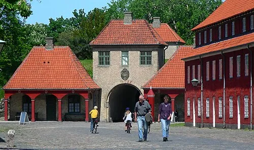 Kastellet Historic site, Indre By10 km SE
-
Sandbjerg Mountain, Rudersdal Kommune7.6 km N
-
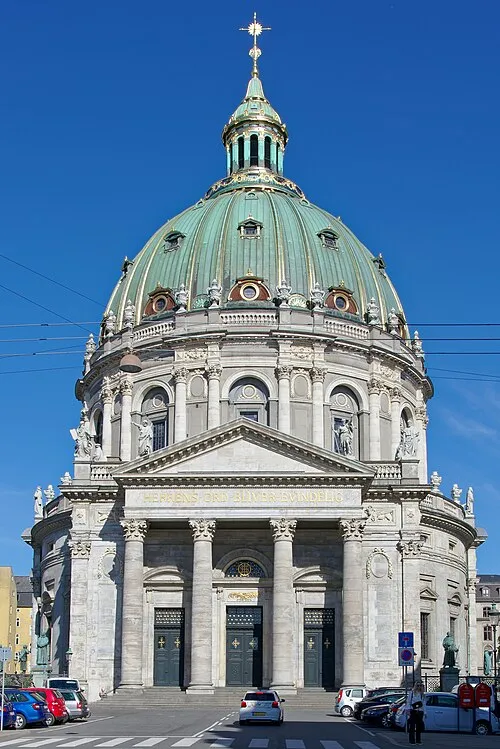 Frederik's Church Attraction, Indre By11 km SE
-
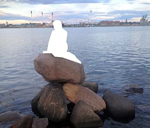 The Little Mermaid Landmark, Indre By11 km SE
-
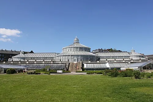 University of Copenhagen Botanical Garden Attraction, Indre By10 km SE
-
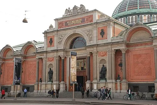 Ny Carlsberg Glyptotek Museum, Indre By12 km S
Sources & licences
Data last updated: · 2 independent sources