Skjern
Located in Ringkøbing-Skjern Kommune, Central Jutland Coordinates: 55°57′00″ N 8°30′00″ E
- Population
- 7,145
- 7.1K
- Elevation
- 9 m
- above sea level
- Local time
- UTC+01:00
- Europe/Copenhagen · UTC+01:00
- Airports
- BLL Billund Airport47 km
- EBJ Esbjerg Airport47 km
About Skjern
Skjern is a town. Location: Ringkøbing-Skjern Kommune, Central Jutland. Population: 7,145. Elevation: 9 m.
Skjern is a railway town just north of the Skjern river in western Jutland, Denmark with a population of 7,775 (1 January 2026). The town was the seat of the former Skjern Municipality, though since 2007 it has been the joint administrative seat of Ringkøbing-Skjern Municipality. The town's expansion in the 19th century was the result of the newly created Skjern railway station. Today, it is connected to the Esbjerg–Struer line and the Skanderborg–Skjern line.
Source: Wikipedia · CC BY-SA 4.0
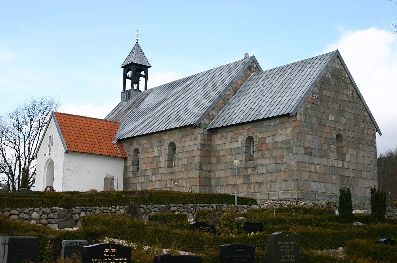
Photos of Skjern
-

Beethoven9 · CC BY-SA 4.0

Travel notes for Skjern
From Wikivoyage
Skjern is a rural railway town in West Jutland. Just about 7,800 people live here, and there aren't any larger towns nearby.
Understand+
Because of the rural conditions, not much is going on in or around Skjern, but the town can serve as an access point, or a base, for exploring the nature of the region.
The biggest attraction for travellers is the nature site of Skjern Ådal, a revitalised river delta stretching for 20 kilometres from the village of Borris in the east, past Skjern, and in to the lagoon of Ringkøbing Fjord in the west. The river delta was bound for inception as a national park in 2012, but the project was abandonned shortly before. For visitors, however, the nature site has everything a nature lover could want, complete with visitor centers, access points, hiking trails, shelters, lookouts, and of course great nature experiences and beautiful sights.
Get in+
1 Skjern Station, Bredgade 55. It is connected to the Esbjerg–Struer line and the Skanderborg–Skjern line. The station offers direct regional train services from Aarhus, Esbjerg, Herning and Holstebro. (updated Apr 2026)
It is also served by the Stauning Vestjylland Airport.
Source: Wikivoyage · CC BY-SA 4.0 · abridged
Climate of Skjern
Best months for sightseeingBest months for sightseeing: June–August.
This month · November
A wet month
Day 8° · Night 4° · Rain 102 mm
- Hottest month
- August (day 21°)
- Coldest month
- January (night -1°)
- Wettest month
- November (102 mm)
- Driest month
- April (43 mm)
Bars: average monthly low and high temperature. Below: precipitation. Monthly averages for 1970–2000 at about 18 km resolution, adjusted for elevation. Highlighted months are mild and relatively dry. Source: WorldClim 2.1 (CC BY 4.0).
Show values as a table
| Month | Jan | Feb | Mar | Apr | May | Jun | Jul | Aug | Sep | Oct | Nov | Dec |
|---|---|---|---|---|---|---|---|---|---|---|---|---|
| Average high (°C) | 3° | 4° | 6° | 11° | 16° | 18° | 21° | 21° | 17° | 13° | 8° | 4° |
| Average low (°C) | -1° | 0° | 1° | 4° | 9° | 12° | 14° | 14° | 11° | 8° | 4° | 1° |
| Precipitation (mm) | 68 | 45 | 55 | 43 | 50 | 58 | 67 | 74 | 93 | 100 | 102 | 83 |
How to get to Skjern
The nearest airport is Billund Airport (BLL), 47 km to the southeast as the crow flies. The nearest large city is Aarhus, 109 km to the east.
Airports
- Billund Airport (BLL) Billund 47 kmsoutheast
- Esbjerg Airport (EBJ) Esbjerg 47 kmsouth
- Midtjyllands Airport / Air Base Karup (KRP) Karup 54 kmnortheast
Nearby large cities
- Aarhus Population: 285.3K 109 kmeast
- Odense Population: 180.9K 134 kmsoutheast
- Aalborg Population: 142.9K 150 kmnortheast
- Kiel Population: 252.7K 209 kmsoutheast
- Kristiansand Population: 117.2K 247 kmnorth
Straight-line distances; road distances are longer. Airport data: OurAirports.
Day trips from Skjern
Within 100 km: 10 historic and cultural sites, 106 natural sites, 17 lakes, rivers and coasts.
0–25 km14 places
- Fuglepold Island 17 kmW
- Tophøj Mountain 12 kmN
- Brunbjerg Mountain 9 kmNW
- Troldbjerg Mountain 24 kmW
25–60 km50 places
- Fanø Island 60 kmS
- Trindhøj Mountain 50 kmSE
- Rindby Strand Beach 60 kmS
- Egebjerg Mountain 40 kmS
60–100 km69 places
- Hathøj Mountain 76 kmSE
- Svinø Natural site 98 kmSE
- Senhøj Mountain 63 kmSE
- Højbjerg Mountain 88 kmSE
Straight-line distances.
Nearby attractions & nature
Everything nearby-
Bavnshøje Mountain, Ringkøbing-Skjern Kommune5.5 km NW
-
Brunbjerg Mountain, Ringkøbing-Skjern Kommune9 km NW
-
Mangehøje Mountain, Ringkøbing-Skjern Kommune10 km E
-
Tophøj Mountain, Ringkøbing-Skjern Kommune12 km N
-
Høje Sande Island, Ringkøbing-Skjern Kommune9.8 km SW
-
Finderup Rishøj Mountain, Ringkøbing-Skjern Kommune14 km N
-
Karlsmose Banke Mountain, Ringkøbing-Skjern Kommune19 km NE
-
Store Troldhøj Mountain, Ringkøbing-Skjern Kommune17 km E
Sources & licences
Data last updated: · 2 independent sources