- Population
- 16,401
- 16.4K
- Elevation
- 16 m
- above sea level
- Local time
- UTC+01:00
- Europe/Copenhagen · UTC+01:00
- Airports
- SGD Sønderborg Airport26 km
- GWT Westerland Sylt Airport70 km
About Aabenraa
Aabenraa is a city. Location: Aabenraa Kommune, Region South Denmark. Population: 16,401. Elevation: 16 m.
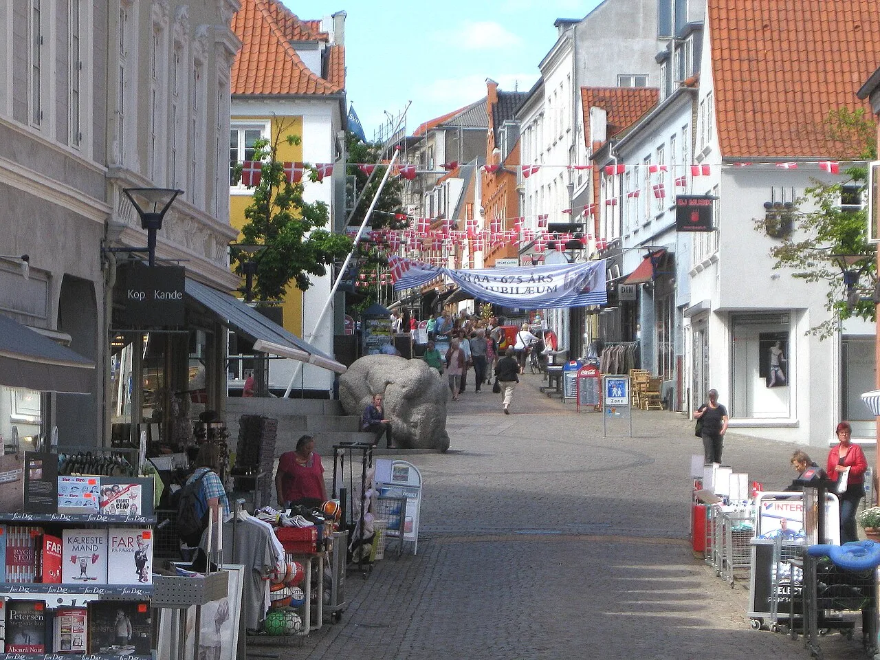
Aabenraa (Danish pronunciation: [ɔːpm̩ˈʁɔˀ]; German: Apenrade, pronounced [aːpn̩ˈʁaːdə] ; South Jutlandic: Affenråe; also spelled Åbenrå) is a town in Southern Denmark, at the head of the Aabenraa Fjord, an arm of the Little Belt, 26 kilometres (16 mi) north of the Denmark–Germany border and 32 kilometres (20 mi) north of German town of Flensburg.
Source: Wikipedia · CC BY-SA 4.0
Travel notes for Aabenraa
From Wikivoyage
Åbenrå (Aabenraa) is a city in South Jutland.
Get in+
1 Rødekro Railway Station.
On the E45 highway from Kolding or Flensburg
Trains from Copenhagen stop at Rødekro just outside the city (search DSB)
The nearest airport is at Sønderborg (flights from Copenhagen). Other fairly nearby airports are at Hamburg and Billund.
Source: Wikivoyage · CC BY-SA 4.0 · abridged
Climate of Aabenraa
Best months for sightseeingBest months for sightseeing: June–August.
This month · November
A cold month
Day 8° · Night 3° · Rain 88 mm
- Hottest month
- August (day 21°)
- Coldest month
- February (night -2°)
- Wettest month
- October (88 mm)
- Driest month
- April (46 mm)
Bars: average monthly low and high temperature. Below: precipitation. Monthly averages for 1970–2000 at about 18 km resolution, adjusted for elevation. Highlighted months are mild and relatively dry. Source: WorldClim 2.1 (CC BY 4.0).
Show values as a table
| Month | Jan | Feb | Mar | Apr | May | Jun | Jul | Aug | Sep | Oct | Nov | Dec |
|---|---|---|---|---|---|---|---|---|---|---|---|---|
| Average high (°C) | 3° | 3° | 6° | 11° | 16° | 19° | 20° | 21° | 17° | 12° | 8° | 5° |
| Average low (°C) | -1° | -2° | 0° | 2° | 7° | 10° | 12° | 11° | 9° | 6° | 3° | 0° |
| Precipitation (mm) | 70 | 49 | 57 | 46 | 50 | 68 | 75 | 78 | 82 | 88 | 88 | 79 |
How to get to Aabenraa
The nearest airport is Sønderborg Airport (SGD), 26 km to the east as the crow flies. For international flights: Odense Hans Christian Andersen Airport (ODE) (75 km). The nearest large city is Odense, 73 km to the northeast.
Airports
- Sønderborg Airport (SGD) Sønderborg 26 kmeast
- Westerland Sylt Airport (GWT) Sylt 70 kmwest
- Odense Hans Christian Andersen Airport (ODE) Odense 75 kmnortheast
Nearby large cities
- Odense Population: 180.9K 73 kmnortheast
- Kiel Population: 252.7K 93 kmsoutheast
- Aarhus Population: 285.3K 134 kmnorth
- Lübeck Population: 212.2K 155 kmsoutheast
- Bremerhaven Population: 118.6K 175 kmsouth
Straight-line distances; road distances are longer. Airport data: OurAirports.
Day trips from Aabenraa
Within 100 km: 96 historic and cultural sites, 548 natural sites, 406 lakes, rivers and coasts.
0–25 km27 places
- Schloßteich Lake 25 kmS
- Neupugum Lake 24 kmSE
- Westerwerker See Lake 24 kmS
- Niehuussee Lake 25 kmS
25–60 km285 places
- Als Island 33 kmE
- Oxbek River 49 kmS
- Solitüde Beach 25 kmS
- Strand von Habernis Beach 36 kmSE
60–100 km738 places
- Tåsinge Island 76 kmE
- Aeroe Island 61 kmE
- Fanø Island 76 kmNW
- Nordstrand Natural site 70 kmSW
Straight-line distances.
Nearby attractions & nature
Everything nearby-
Trendbjerg Mountain, Aabenraa Kommune3.9 km NE
-
Blåhøj Mountain, Aabenraa Kommune6.6 km NE
-
Tastebjerg Mountain, Aabenraa Kommune8.3 km SE
-
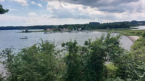 Kalvø Island, Aabenraa Kommune9 km N
-
 Knivsbjerg Mountain, Aabenraa Kommune10 km N
-
Galgebjerg Mountain, Aabenraa Kommune9.5 km E
-
Løgpold Mountain, Aabenraa Kommune8.7 km SW
-
Stenhøj Mountain, Aabenraa Kommune12 km NW
Sources & licences
Data last updated: · 2 independent sources