Langeland Kommune
Located in Region South Denmark, Denmark Coordinates: 54°54′00″ N 10°46′20″ E
- Population
- 11,841
- 11.8K
- Elevation
- 16 m
- above sea level
- Local time
- UTC+01:00
- Europe/Copenhagen · UTC+01:00
- Places inside
- 15
- listed under Langeland Kommune
About Langeland Kommune
Langeland Kommune is a district. Location: Region South Denmark, Denmark. Population: 11,841.
In comparison
- 2 sights and natural places within 10 km Lindø, Oldenbjerg
- Listed here: Island: 6, Mountain: 4, Village: 3, City: 1
Places in Langeland Kommune
15 places-
Tranekær Town11.8K
-
Rudkøbing City4.5K
-
Humble Village562
-
Bondeholm Island
-
Bredholm Island
-
Fakkebjerg Mountain
-
Grensholm Island
-
Høgebjerg Mountain
-
Lindø Island
-
Oldenbjerg Mountain
-
Ramshøj Mountain
-
Sædballe Village
-
Søndenbro Village
-
Storeholm Island
-
Vogterholm Island
Nearby attractions & nature
Everything nearby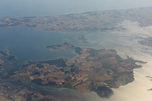
Sources & licences
Data last updated: