Als
Located in Sønderborg Kommune, Region South Denmark Coordinates: 54°59′00″ N 9°55′00″ E
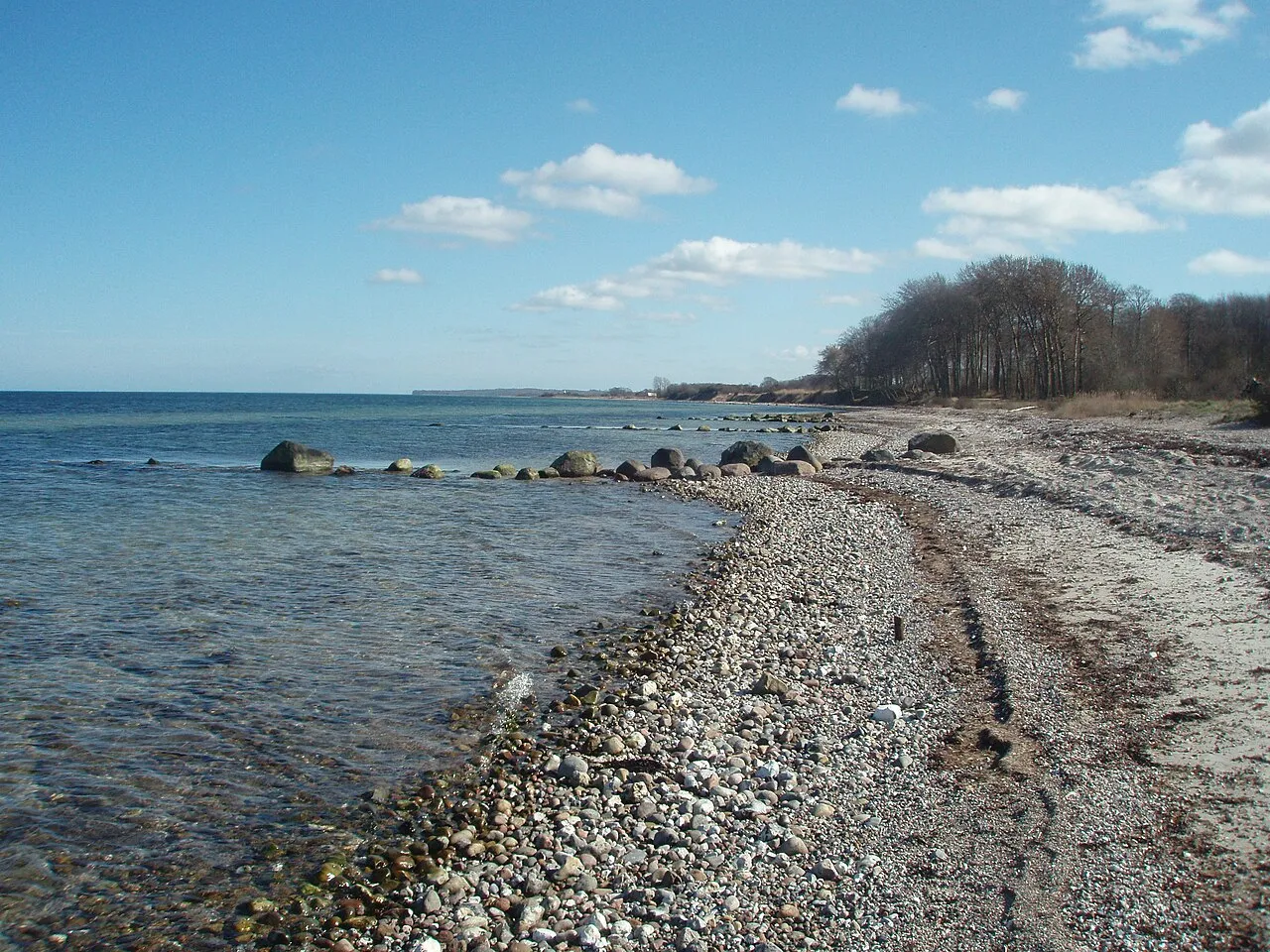
- Elevation
- 20 m
- above sea level
- Local time
- UTC+01:00
- Europe/Copenhagen · UTC+01:00
- Population
- 49,976
- 50K
About Als
Als is an island. Location: Sønderborg Kommune, Region South Denmark. Population: 49,976.
Als (Danish pronunciation: [ˈælˀs], German: Alsen) is a Danish island in the Baltic Sea.
Read more on Wikipedia Text: Wikipedia contributors · CC BY-SA 4.0 · shortened
At a glance
- Length
- 35 km
- Area
- 321 km²
Source: Wikidata
In comparison
- 4 sights and natural places within 10 km Taksensand, Høgebjerg
Nearest towns and villages
-
Guderup Village, Sønderborg Kommune3 km W
-
Hundslev Village, Sønderborg Kommune0.2 km SE
-
Augustenborg Village, Sønderborg Kommune4.5 km SW
-
Høruphav Village, Sønderborg Kommune8.2 km S
-
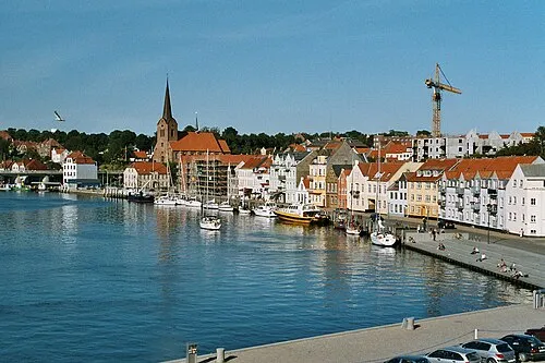 Sønderborg City, Sønderborg Kommune12 km SW
-
Nordborg Town, Sønderborg Kommune14 km NW
Nearby attractions & nature
Everything nearby-
Høgebjerg Mountain, Sønderborg Kommune4.1 km SE
-
Taksensand Beach, Sønderborg Kommune4 km NE
-
Katholm Island, Sønderborg Kommune5.6 km W
-
Egebjerg Mountain, Sønderborg Kommune7 km NW
-
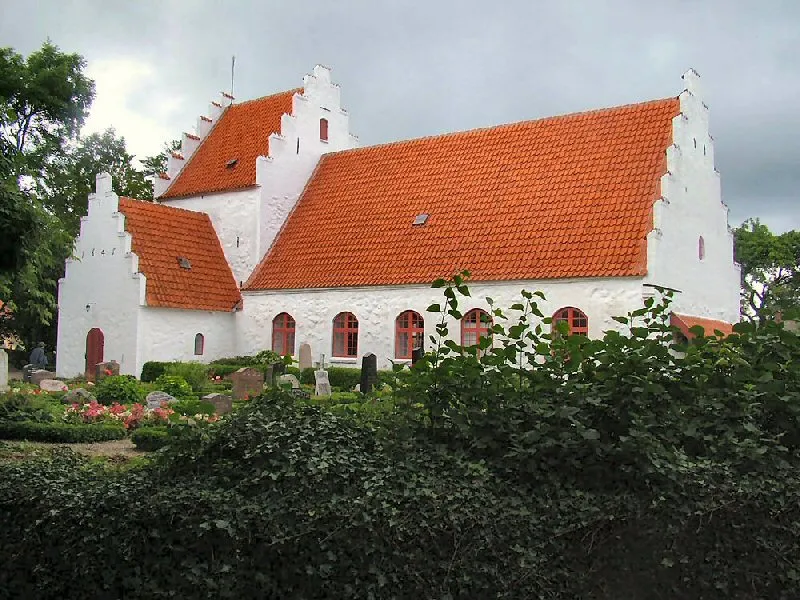 Lyø Island, Faaborg-Midtfyn Kommune16 km NE
-
Smedebjerg Mountain, Sønderborg Kommune15 km W
-
Vigø Island, Faaborg-Midtfyn Kommune22 km NE
-
Horsehoved Island, Faaborg-Midtfyn Kommune21 km NE
Sources & licences
Data last updated: · 2 independent sources