Katholm
Located in Sønderborg Kommune, Region South Denmark Coordinates: 54°58′18″ N 9°49′55″ E
- Elevation
- -2 m
- above sea level
- Local time
- UTC+01:00
- Europe/Copenhagen · UTC+01:00
About Katholm
Katholm is an island. Location: Sønderborg Kommune, Region South Denmark.
At a glance
- Area
- 4.3 ha
Source: Wikidata
In comparison
- 4 sights and natural places within 10 km Egebjerg, Als
Airports nearest to Katholm
- Sønderborg Airport (SGD) Sønderborg 3 km
- Odense Hans Christian Andersen Airport (ODE) Odense 64 km
- Billund Airport (BLL) Billund 96 km
Straight-line distance; airports with scheduled flights only. Source: OurAirports (public domain).
Nearest towns and villages
-
Guderup Village, Sønderborg Kommune3.3 km NE
-
Augustenborg Village, Sønderborg Kommune3.4 km SE
-
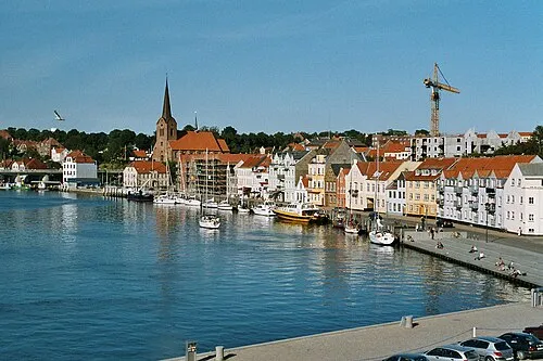 Sønderborg City, Sønderborg Kommune7.5 km S
-
Høruphav Village, Sønderborg Kommune8.1 km SE
-
Dybbøl Village, Sønderborg Kommune9.1 km SW
-
Hundslev Village, Sønderborg Kommune5.6 km E
Nearby attractions & nature
Everything nearby-
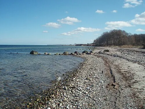 Als Island, Sønderborg Kommune5.6 km E
-
Egebjerg Mountain, Sønderborg Kommune5.1 km N
-
Høgebjerg Mountain, Sønderborg Kommune9.1 km E
-
Taksensand Beach, Sønderborg Kommune9.1 km NE
-
Smedebjerg Mountain, Sønderborg Kommune11 km NW
-
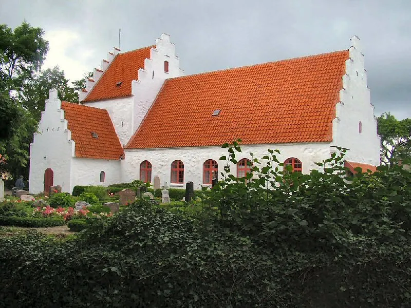 Lyø Island, Faaborg-Midtfyn Kommune22 km E
-
Galgebjerg Mountain, Aabenraa Kommune18 km W
-
Tastebjerg Mountain, Aabenraa Kommune20 km W
Sources & licences
Data last updated: · 2 independent sources