Augustenborg
Located in Sønderborg Kommune, Region South Denmark Coordinates: 54°57′07″ N 9°52′20″ E
- Population
- 3,164
- 3.2K
- Elevation
- 8 m
- above sea level
- Local time
- UTC+01:00
- Europe/Copenhagen · UTC+01:00
About Augustenborg
Augustenborg is a village. Location: Sønderborg Kommune, Region South Denmark. Population: 3,164. Elevation: 8 m.
Augustenborg (German: Augustenburg) is a town on Als Island in Sønderborg Municipality, Region of Southern Denmark in Denmark. The town lies at the head of Als Fjord. To the east is the Little Belt. Ferry service connects Augustenborg to the island of Funen from the nearby town of Fynshav. Augustenborg has a population of 3,164 (1 January 2026). It was the main town of Augustenborg Municipality until its merger into Sønderborg Municipality in 2007.
Read more on Wikipedia Text: Wikipedia contributors · CC BY-SA 4.0 · shortened
In comparison
- No. 5 of 8 places in Sønderborg Kommune by population
- Nearest larger town: Sønderborg, 7 km SW
- 5 sights and natural places within 10 km Katholm, Als
Nearby attractions & nature
Everything nearby-
Katholm Island, Sønderborg Kommune3.4 km NW
-
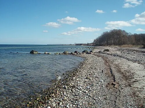 Als Island, Sønderborg Kommune4.5 km NE
-
Høgebjerg Mountain, Sønderborg Kommune6.7 km E
-
Egebjerg Mountain, Sønderborg Kommune7.9 km NW
-
Taksensand Beach, Sønderborg Kommune8.4 km NE
-
Smedebjerg Mountain, Sønderborg Kommune14 km NW
Sources & licences
Data last updated: · 2 independent sources