Vejen Municipality
Located in Vejen Kommune, Region South Denmark Coordinates: 55°28′52″ N 9°08′17″ E
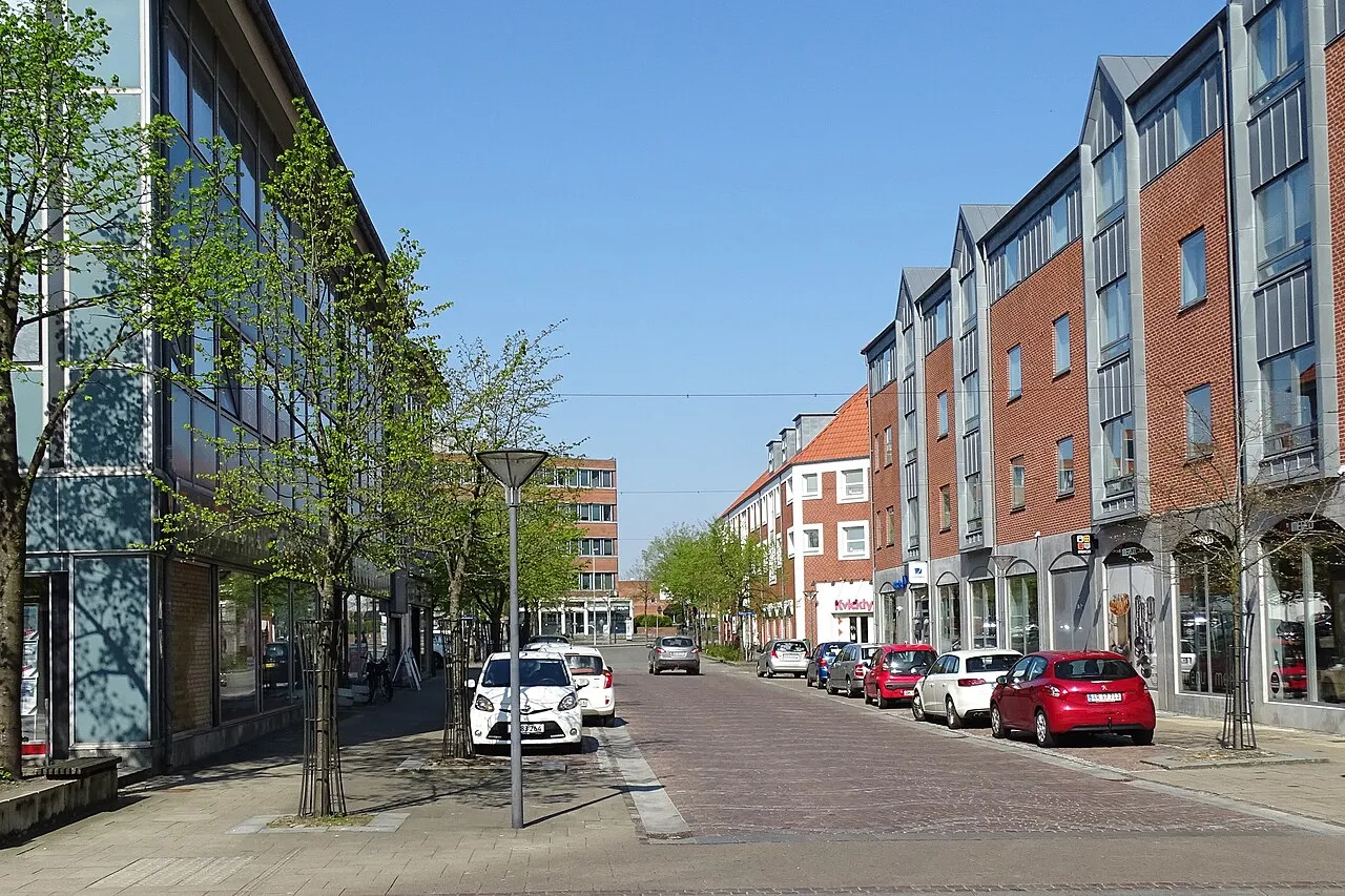
- Population
- 8,525
- 8.5K
- Elevation
- 41 m
- above sea level
- Local time
- UTC+01:00
- Europe/Copenhagen · UTC+01:00
- Airports
- BLL Billund Airport29 km
- EBJ Esbjerg Airport37 km
About Vejen Municipality
Vejen Municipality is a city. Location: Vejen Kommune, Region South Denmark. Population: 8,525. Elevation: 41 m.
Vejen is the main town in Vejen Municipality, Denmark, with a population of 10,393 (1 January 2026).
Source: Wikipedia · CC BY-SA 4.0
Travel notes for Vejen Municipality
From Wikivoyage
Vejen is a railway town of about 10,000 people (2022) between Esbjerg and Kolding in South Jutland. The town emerged in ancient times as an important waypoint for agricultural transport on the Jutlandic Ox Road trail, used for herding cattle and soldiers from Denmark to Germany. Vejen is still today an important traffic junction for the South Jutland region.
The main attractions in Vejen are the art museum and the large sports centre. Beautiful countryside.
Understand+
Vejen has always been a waypoint for the region, and thus, easily accessible from all around. From Vejen, there is easy access to both large towns (Kolding, Ribe, Esbjerg and Haderslev) and interesting villages (Gram, Christiansfeld, Jels and Egtved). Legoland in Billund is not far away either.
Get in+
The closest larger towns are Kolding in the east and Esbjerg to the west.
By rail:
1 Vejen Railway Station.
By car:
Vejen is just south of the E20 motorway.
Source: Wikivoyage · CC BY-SA 4.0 · abridged
Climate of Vejen Municipality
Best months for sightseeingBest months for sightseeing: June–August.
This month · November
A wet month
Day 7° · Night 2° · Rain 102 mm
- Hottest month
- August (day 21°)
- Coldest month
- February (night -2°)
- Wettest month
- November (102 mm)
- Driest month
- February (48 mm)
Bars: average monthly low and high temperature. Below: precipitation. Monthly averages for 1970–2000 at about 18 km resolution, adjusted for elevation. Highlighted months are mild and relatively dry. Source: WorldClim 2.1 (CC BY 4.0).
Show values as a table
| Month | Jan | Feb | Mar | Apr | May | Jun | Jul | Aug | Sep | Oct | Nov | Dec |
|---|---|---|---|---|---|---|---|---|---|---|---|---|
| Average high (°C) | 3° | 3° | 6° | 10° | 16° | 18° | 20° | 21° | 17° | 12° | 7° | 4° |
| Average low (°C) | -2° | -2° | 0° | 2° | 6° | 9° | 11° | 11° | 9° | 6° | 2° | -1° |
| Precipitation (mm) | 72 | 48 | 58 | 50 | 54 | 67 | 78 | 81 | 90 | 99 | 102 | 86 |
How to get to Vejen Municipality
The nearest airport is Billund Airport (BLL), 29 km to the north as the crow flies. The nearest large city is Odense, 80 km to the east.
Airports
- Billund Airport (BLL) Billund 29 kmnorth
- Esbjerg Airport (EBJ) Esbjerg 37 kmwest
- Sønderborg Airport (SGD) Sønderborg 71 kmsoutheast
Nearby large cities
- Odense Population: 180.9K 80 kmeast
- Aarhus Population: 285.3K 101 kmnortheast
- Kiel Population: 252.7K 144 kmsoutheast
- Aalborg Population: 142.9K 181 kmnorth
- Lübeck Population: 212.2K 205 kmsoutheast
Straight-line distances; road distances are longer. Airport data: OurAirports.
Day trips from Vejen Municipality
Within 100 km: 45 historic and cultural sites, 260 natural sites, 117 lakes, rivers and coasts.
0–25 km8 places
- Senhøj Mountain 11 kmW
- Trindhøj Mountain 16 kmN
- Rangtang Mountain 17 kmS
- Risbjerg Mountain 23 kmNW
25–60 km61 places
- Fanø Island 47 kmW
- Rindby Strand Beach 49 kmW
- Rævshalen Beach 46 kmSE
- Juvre Sand Beach 52 kmSW
60–100 km353 places
- Als Island 74 kmSE
- Solitüde Beach 77 kmS
- Budersand Beach 96 kmSW
- Strandsauna Beach 71 kmSW
Straight-line distances.
Nearby attractions & nature
Everything nearby-
Senhøj Mountain, Vejen Kommune11 km W
-
Trindhøj Mountain, Billund Kommune16 km N
-
Brøndsø Banke Mountain, Billund Kommune24 km N
-
Rangtang Mountain, Haderslev Kommune17 km S
-
Risbjerg Mountain, Varde Kommune23 km NW
-
Fjellumhøj Mountain, Haderslev Kommune24 km S
-
Højbjerg Mountain, Kolding Kommune22 km SE
-
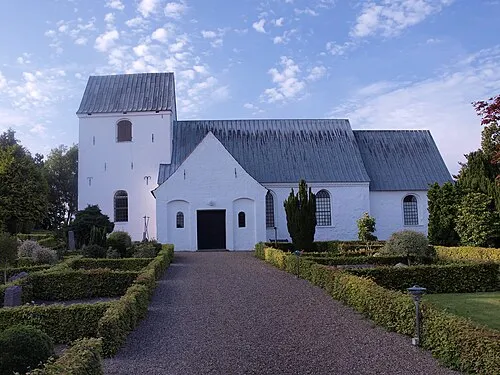 Eltang Kirke Attraction, Kolding Kommune25 km E
Sources & licences
Data last updated: · 2 independent sources