Møllebjerg
Located in Vejle Kommune, Region South Denmark Coordinates: 55°45′21″ N 9°15′29″ E
- Elevation
- 136 m
- above sea level
- Local time
- UTC+01:00
- Europe/Copenhagen · UTC+01:00
About Møllebjerg
Møllebjerg is a mountain. Location: Vejle Kommune, Region South Denmark. Elevation: 136 m.
In comparison
- No. 4 of 271 mountains in Langeskov by elevation
Airports nearest to Møllebjerg
- Billund Airport (BLL) Billund 7 km
- Esbjerg Airport (EBJ) Esbjerg 51 km
- Midtjyllands Airport / Air Base Karup (KRP) Karup 61 km
Straight-line distance; airports with scheduled flights only. Source: OurAirports (public domain).
Nearest towns and villages
Nearby attractions & nature
Everything nearby-
Simmelbjerg Mountain, Billund Kommune9.9 km W
-
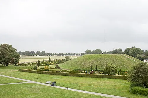 Thyras Høj Mountain, Vejle Kommune11 km E
-
Brøndsø Banke Mountain, Billund Kommune14 km SW
-
Brunbjerg Mountain, Billund Kommune14 km W
-
Møllebjerg Mountain, Vejle Kommune13 km NW
-
Grejs Dal Natural site, Vejle Kommune17 km E
-
Blåbjerg Mountain, Billund Kommune18 km W
-
Bavnbjerg Mountain, Vejle Kommune20 km E
Sources & licences
Data last updated: · 2 independent sources