Vejle
Located in Vejle Kommune, Region South Denmark Coordinates: 55°42′33″ N 9°32′09″ E
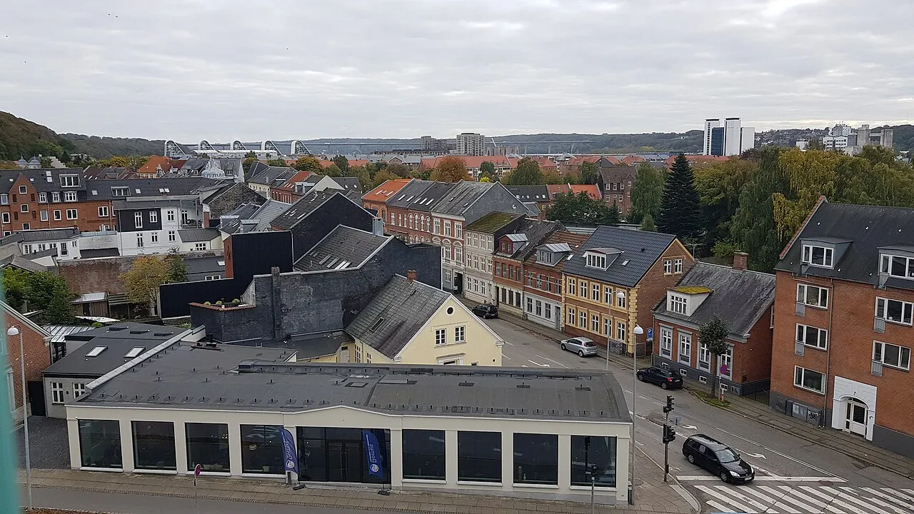
- Population
- 60,231
- 60.2K
- Elevation
- 5 m
- above sea level
- Local time
- UTC+01:00
- Europe/Copenhagen · UTC+01:00
About Vejle
Vejle is a city. Location: Vejle Kommune, Region South Denmark. Population: 60,231. Elevation: 5 m.
Vejle (Danish pronunciation: [ˈvɑjlə]) is a city in Denmark, in the southeast of the Jutland Peninsula at the head of Vejle Fjord, where the Vejle River and Grejs River and their valleys converge. It is the site of the councils of Vejle Municipality (kommune) and the Region of Southern Denmark. The city has a population of 62,153 (As of 1 January. 2026), making it the ninth largest city in Denmark.
Read more on Wikipedia Text: Wikipedia contributors · CC BY-SA 4.0 · shortened
In comparison
- Most populous of 8 places in Vejle Kommune
- Nearest larger town: Kolding, 25 km S
- 6 sights and natural places within 10 km Hover Kirke, Grejs Dal
Airports nearest to Vejle
- Billund Airport (BLL) Billund 24 km
- Odense Hans Christian Andersen Airport (ODE) Odense 56 km
- Esbjerg Airport (EBJ) Esbjerg 65 km
Straight-line distance; airports with scheduled flights only. Source: OurAirports (public domain).
Nearby attractions & nature
Everything nearby-
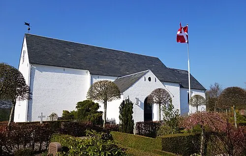 Hover Kirke Attraction, Vejle Kommune3.9 km NW
-
Grejs Dal Natural site, Vejle Kommune4.5 km N
-
Bavnbjerg Mountain, Vejle Kommune7.3 km N
-
Hathøj Mountain, Vejle Kommune6.5 km SE
-
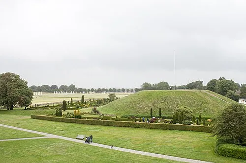 Thyras Høj Mountain, Vejle Kommune7.9 km NW
-
Brohøj Mountain, Hedensted Kommune9.6 km NE
-
Møllebjerg Mountain, Vejle Kommune18 km W
-
Elbo Dal Natural site, Fredericia Kommune16 km SE
Sources & licences
Data last updated: · 2 independent sources