Guldborgsund Kommune
Located in Region Zealand, Denmark Coordinates: 54°46′10″ N 11°50′10″ E
- Population
- 59,119
- 59.1K
- Elevation
- 1 m
- above sea level
- Local time
- UTC+01:00
- Europe/Copenhagen · UTC+01:00
- Places inside
- 43
- listed under Guldborgsund Kommune
About Guldborgsund Kommune
Guldborgsund Kommune is a district. Location: Region Zealand, Denmark. Population: 59,119.
In comparison
- 7 sights and natural places within 10 km Flatø, Kalvø
- Listed here: Village: 29, Island: 9, Landmark: 2, City: 1
Places in Guldborgsund Kommune
43 places-
Falster Island43.5K
-
Nykøbing Falster City20K
-
Alholm Town9.8K
-
Sakskøbing Village4.6K
-
Sundby Village3.2K
-
Nørre Alslev Village2.3K
-
Stubbekøbing Village2.2K
-
Væggerløse Village1.3K
-
Nysted Village1.2K
-
Idestrup Village1.1K
-
Eskilstrup Village1.1K
-
Gedser Village610
-
Marielyst Village726
-
Toreby Village611
-
Kettinge Village529
-
Horbelev Village524
-
Nagelsti Village518
-
Guldborg Village493
-
Orehoved Village417
-
Ønslev Village392
-
Horreby Village298
-
Øster Kippinge Village269
-
Øster Ulslev Village235
-
Tingsted Village218
-
Stubberup Village108
-
Sortsø Strand Village10
-
Bavnehøj Mountain
-
Dyrefod Island
-
Flatø Island
-
Hjelm Ø Island
-
Hylleholm Island
-
Kalveholm Island
-
Kalvø Island
-
Karlsbjerg Landmark
-
Kejlsø Island
-
Lågerup Village
-
Nørre Vedby Village
-
Øster Kippinge Village
-
Skalkekors Landmark
-
Stubberup Village
-
Suderø Island
-
Sundby Village
-
Torkilstrup Village
Nearby attractions & nature
Everything nearby-
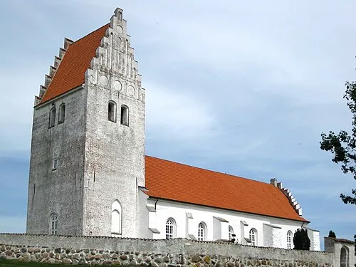 Fanefjord Church Attraction, Vordingborg Kommune25 km NE
-
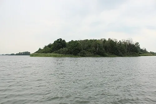 Borgø Island, Lolland Kommune19 km W
-
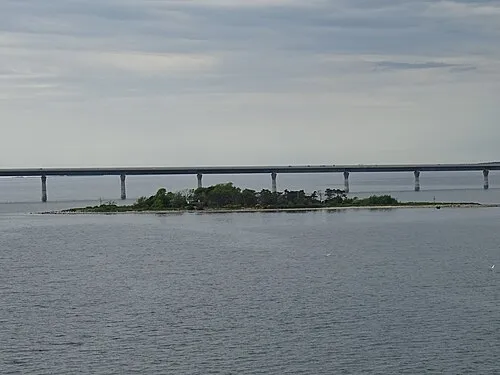 Masnedø Kalv Island, Vordingborg Kommune23 km N
-
Dornæs Natural site, Lolland Kommune20 km W
-
Havneø Island, Lolland Kommune23 km W
-
Barholm Island, Vordingborg Kommune22 km NE
Sources & licences
Data last updated: