- Elevation
- 7 m
- above sea level
- Local time
- UTC+01:00
- Europe/Copenhagen · UTC+01:00
- Population
- 43,530
- 43.5K
- Airports
- RKE Copenhagen Roskilde Airport88 km
- RLG Rostock-Laage Airport100 km
About Falster
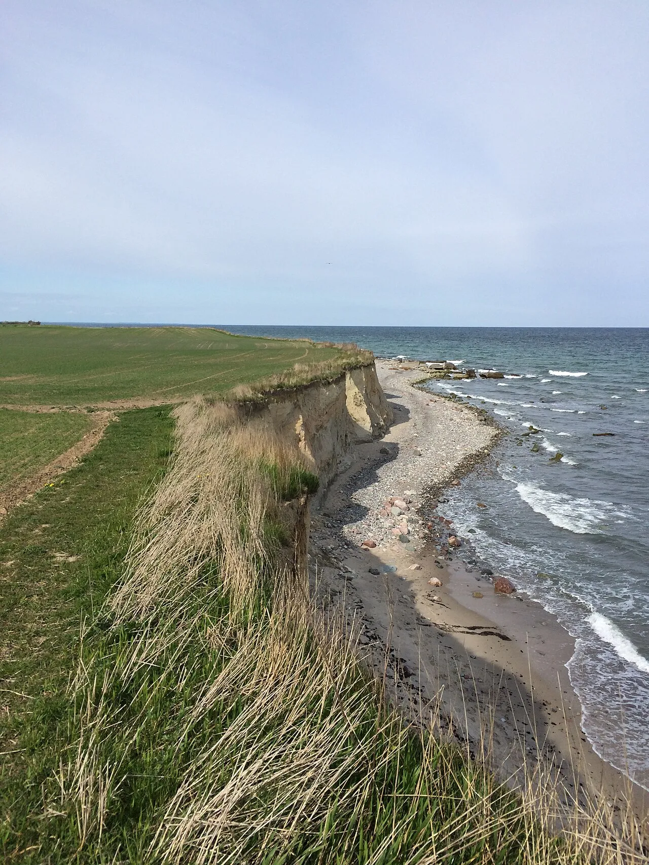
Falster is an island. Location: Guldborgsund Kommune, Region Zealand. Population: 43,530.
Falster (Danish: [ˈfælˀstɐ]) is an island in south-eastern Denmark with an area of 486.2 km2 (187.7 sq mi) and 43,398 inhabitants as of 1 January 2010. Located in the Kattegat, Belts and Sound area, it is part of Region Zealand and is administered by Guldborgsund Municipality. Falster includes Denmark's southernmost point, Gedser Odde, near Gedser. The largest town is Nykøbing Falster with over 40% of the island's inhabitants. Other towns include Stubbekøbing, Nørre Alslev and Gedser.
Source: Wikipedia · CC BY-SA 4.0
At a glance
- Area
- 514 km²
Source: Wikidata
Photos of Falster
-

Hanno Böck · CC0 -

Smiley.toerist · CC BY-SA 4.0 -

Vmenkov · CC BY-SA 4.0 -

Elgaard · CC BY-SA 4.0


Travel notes for Falster
From Wikivoyage
Falster is an island in Denmark.
Understand+
Falster is a Danish island in the Baltic Sea.
Get in+
Ferry:
There is a ferry connection from Gedser to Rostock
1 Bogø. There is small ferry operated by volunteers from Stubbekøbing to Bogø. (updated Sep 2015)
By car:
You can get to Falster from the neighbouring islands Lolland and Zealand and by car ferry from Rostock in Germany. The ferry is operated by Scandlines. The ferry runs every 2 hours and the trip takes about 1 hour and 45 minutes.
By train:
Nykøbing Falster is on the mainline from Copenhagen to Hamburg
4-6 trains a day to Hamburg. Every hour to Copenhagen.
Lokalrailway to Maribo and Nakskov on Lolland every hour.
By air:
Copenhagen is the nearest airport ... 180 km north!
By bicycle:
Part of the Berlin-Kopenhagen bicycle route runs through Falster. The route takes you to Falster via ferry from Rostock in Germany in the south or via ferry into Stubbekøbing in the north. Bicycles take the same ferry as cars, with straps provided to secure the bicycles during the journey.
Source: Wikivoyage · CC BY-SA 4.0 · abridged
Climate of Falster
Best months for sightseeingBest months for sightseeing: June–August.
This month · November
A cold month
Day 7° · Night 4° · Rain 64 mm
- Hottest month
- July (day 20°)
- Coldest month
- February (night 0°)
- Wettest month
- November (64 mm)
- Driest month
- February (33 mm)
Bars: average monthly low and high temperature. Below: precipitation. Monthly averages for 1970–2000 at about 18 km resolution, adjusted for elevation. Highlighted months are mild and relatively dry. Source: WorldClim 2.1 (CC BY 4.0).
Show values as a table
| Month | Jan | Feb | Mar | Apr | May | Jun | Jul | Aug | Sep | Oct | Nov | Dec |
|---|---|---|---|---|---|---|---|---|---|---|---|---|
| Average high (°C) | 3° | 3° | 5° | 9° | 14° | 18° | 20° | 20° | 16° | 12° | 7° | 4° |
| Average low (°C) | 0° | 0° | 1° | 4° | 8° | 12° | 15° | 15° | 12° | 8° | 4° | 1° |
| Precipitation (mm) | 48 | 33 | 39 | 39 | 43 | 53 | 63 | 56 | 55 | 50 | 64 | 54 |
How to get to Falster
The nearest airport is Copenhagen Roskilde Airport (RKE), 88 km to the north as the crow flies. For international flights: Copenhagen Kastrup Airport (CPH) (101 km). The nearest large city is Rostock, 80 km to the south.
Airports
- Copenhagen Roskilde Airport (RKE) Roskilde 88 kmnorth
- Rostock-Laage Airport (RLG) Laage 100 kmsouth
- Copenhagen Kastrup Airport (CPH) Copenhagen 101 kmnortheast
Nearby large cities
- Rostock Population: 198.3K 80 kmsouth
- Copenhagen Population: 1.2M 105 kmnorth
- Malmö Population: 362.1K 111 kmnortheast
- Odense Population: 180.9K 121 kmnorthwest
- Kiel Population: 252.7K 130 kmsouthwest
Straight-line distances; road distances are longer. Airport data: OurAirports.
Day trips from Falster
Within 100 km: 73 historic and cultural sites, 494 natural sites, 258 lakes, rivers and coasts.
0–25 km13 places
- Suderø Island 23 kmNW
- Masnedø Kalv Island 21 kmN
- Kejlsø Island 13 kmSW
- Kalvø Island 11 kmSW
25–60 km64 places
- Glippe Beach 56 kmSE
- Lychensee Lake 59 kmSE
- Hundsbeck Lake 56 kmSE
- Hundetief Lake 59 kmSE
60–100 km748 places
- Sjælland Island 79 kmN
- Amager Island 100 kmNE
- Fehmarn Island 64 kmSW
- Tåsinge Island 90 kmW
Straight-line distances.
Nearest towns and villages




Nearby attractions & nature
Everything nearby-
Kalvø Island, Guldborgsund Kommune11 km SW
-
Flatø Island, Guldborgsund Kommune10 km SW
-
Bavnehøj Mountain, Guldborgsund Kommune15 km NW
-
Kejlsø Island, Guldborgsund Kommune13 km SW
-
Barholm Island, Vordingborg Kommune14 km NE
-
Hjelm Ø Island, Guldborgsund Kommune13 km W
-
Dyrefod Island, Guldborgsund Kommune21 km NW
-
Præstebjerg Mountain, Vordingborg Kommune19 km NE
Sources & licences
Data last updated: · 2 independent sources