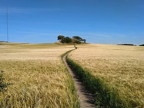
Kongsøre Høj
Located in Odsherred Kommune, Region Zealand Coordinates: 55°49′51″ N 11°43′08″ E
- Elevation
- 36 m
- above sea level
- Local time
- UTC+01:00
- Europe/Copenhagen · UTC+01:00
- Airports
- RKE Copenhagen Roskilde Airport38 km
- CPH Copenhagen Kastrup Airport63 km
About Kongsøre Høj
Kongsøre Høj is a mountain. Location: Odsherred Kommune, Region Zealand. Elevation: 36 m. The best months to visit are June–August. The nearest airport is Copenhagen Roskilde Airport (38 km). Nearby sights include Svolsbjerg and Hønsehalsen.
Climate of Kongsøre Høj
Best months for sightseeingBest months for sightseeing: June–August.
This month · November
A cold month
Day 7° · Night 3° · Rain 60 mm
- Hottest month
- July (day 21°)
- Coldest month
- February (night -2°)
- Wettest month
- July (66 mm)
- Driest month
- February (29 mm)
Bars: average monthly low and high temperature. Below: precipitation. Monthly averages for 1970–2000 at about 18 km resolution, adjusted for elevation. Highlighted months are mild and relatively dry. Source: WorldClim 2.1 (CC BY 4.0).
Show values as a table
| Month | Jan | Feb | Mar | Apr | May | Jun | Jul | Aug | Sep | Oct | Nov | Dec |
|---|---|---|---|---|---|---|---|---|---|---|---|---|
| Average high (°C) | 2° | 2° | 5° | 10° | 15° | 19° | 21° | 20° | 16° | 11° | 7° | 3° |
| Average low (°C) | -1° | -2° | 0° | 4° | 8° | 12° | 14° | 14° | 11° | 7° | 3° | 0° |
| Precipitation (mm) | 46 | 29 | 38 | 37 | 42 | 52 | 66 | 61 | 57 | 55 | 60 | 56 |
How to get to Kongsøre Høj
The nearest airport is Copenhagen Roskilde Airport (RKE), 38 km to the southeast as the crow flies. For international flights: Copenhagen Kastrup Airport (CPH) (63 km). The nearest large city is Copenhagen, 56 km to the east.
Airports
- Copenhagen Roskilde Airport (RKE) Roskilde 38 kmsoutheast
- Copenhagen Kastrup Airport (CPH) Copenhagen 63 kmeast
- Aarhus Airport (AAR) Aarhus 86 kmnorthwest
Nearby large cities
- Copenhagen Population: 1.2M 56 kmeast
- Helsingborg Population: 104.2K 66 kmeast
- Malmö Population: 362.1K 84 kmeast
- Odense Population: 180.9K 97 kmsouthwest
- Aarhus Population: 285.3K 101 kmwest
Straight-line distances; road distances are longer. Airport data: OurAirports.
Day trips from Kongsøre Høj
Within 100 km: 26 historic and cultural sites, 110 natural sites, 76 lakes, rivers and coasts.
0–25 km26 places
- Solbakken Naturistcamping - beach Beach 16 kmSE
- Rønnen Island 11 kmS
- Rønø Island 12 kmSE
- Stenø Island 21 kmE
25–60 km73 places
- Sjælland Island 37 kmS
- Trolddal Natural site 26 kmW
- Store Vrøj Beach 36 kmW
- Næsbystrand Beach 57 kmSW
60–100 km113 places
- Amager Island 61 kmSE
- Ballehage Beach 99 kmW
- Flyvesandet Beach 92 kmW
- Yttre Hallö Island 86 kmNE
Straight-line distances.
Nearest towns and villages
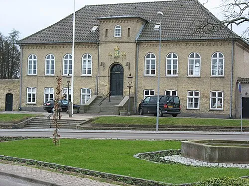
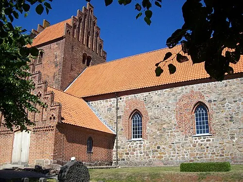
Nearby attractions & nature
Everything nearby-
Svolsbjerg Mountain, Holbæk Kommune4.1 km S
-
Hønsehalsen Natural site, Holbæk Kommune7.6 km S
-
Luntebjerg Mountain, Odsherred Kommune9.4 km W
-
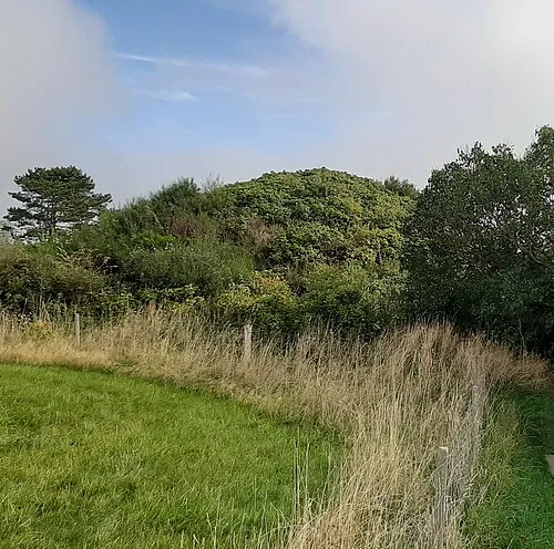 Maglehøj Mountain, Odsherred Kommune13 km W
-
Bavnehøj Mountain, Holbæk Kommune10 km S
-
Bøgebjerg Mountain, Holbæk Kommune11 km SW
-
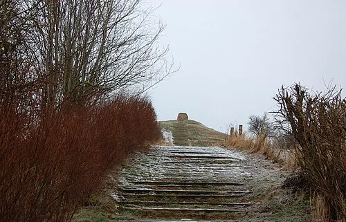 Esterhøj Mountain, Odsherred Kommune15 km W
-
Kirsebærholm Natural site, Holbæk Kommune12 km S
More nature in Denmark
Sources & licences
Data last updated: · 2 independent sources