Gyldenløves Høj
Located in Ringsted Kommune, Region Zealand Coordinates: 55°32′55″ N 11°51′22″ E
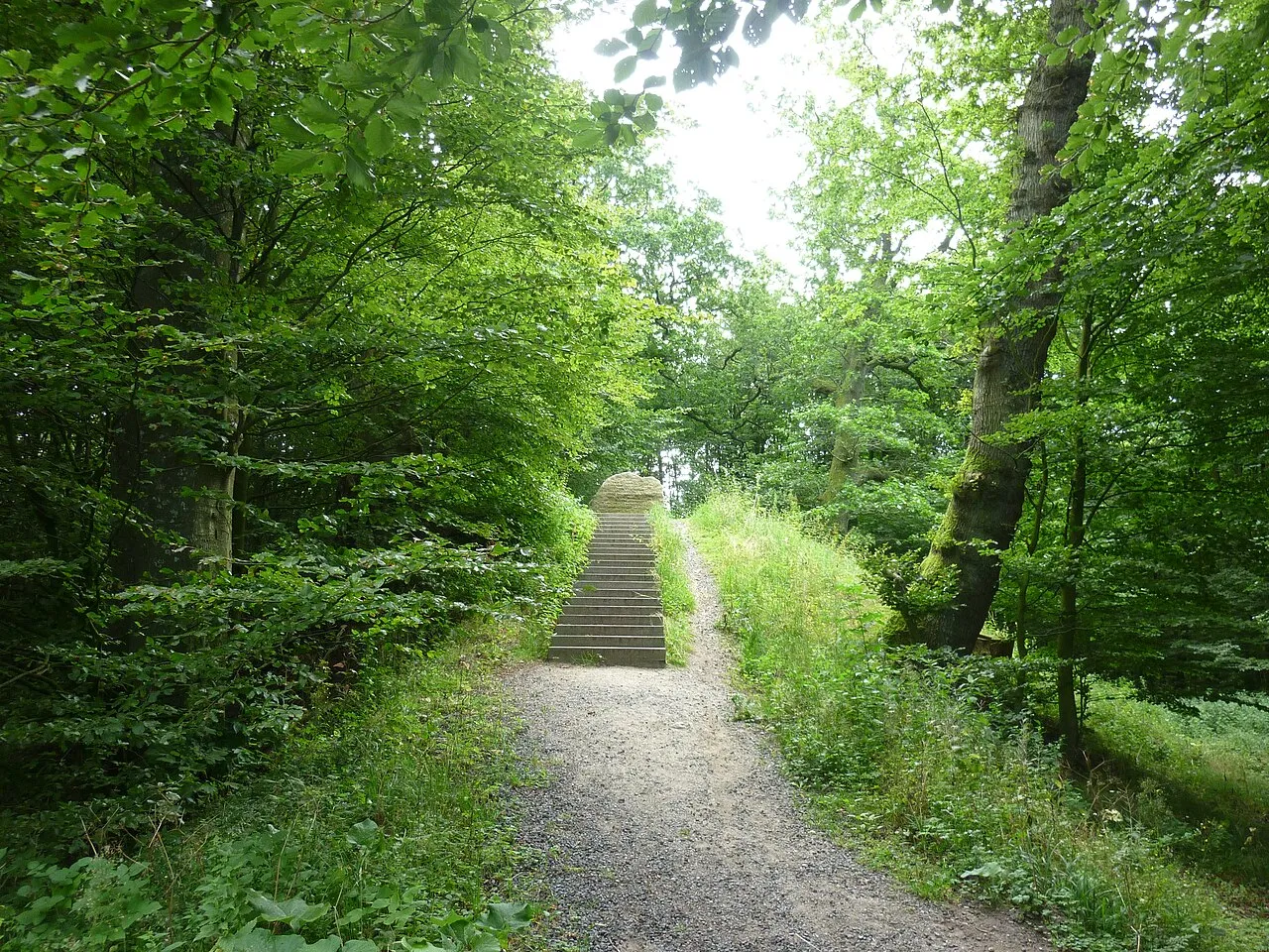
- Elevation
- 119 m
- above sea level
- Local time
- UTC+01:00
- Europe/Copenhagen · UTC+01:00
- Airports
- RKE Copenhagen Roskilde Airport18 km
- CPH Copenhagen Kastrup Airport51 km
About Gyldenløves Høj
Gyldenløves Høj is a mountain. Location: Ringsted Kommune, Region Zealand. Elevation: 119 m.
Gyldenløves Høj is a high point on Sjælland, used to be the highest at 125.5 m above mean sea level. Kobanke near Rønnede is the highest natural point, however, at 122.9 m, as Gyldenløves Høj is only 121.3 m without the artificial mound constructed at the summit. Gyldenløves Høj is located in the Bidstrup forests in the parish of Jystrup between Ringsted og Hvalsø. Gyldenløves Høj is named after Ulrik Gyldenløve, half-brother of Christian V and owner of the nearby Skjoldenæsholm.
Source: Wikipedia · CC BY-SA 4.0
Photos of Gyldenløves Høj
-

Lklundin · CC BY-SA 3.0 -

Lklundin · CC BY-SA 3.0


Climate of Gyldenløves Høj
Best months for sightseeingBest months for sightseeing: June–August.
This month · November
A cold month
Day 6° · Night 3° · Rain 63 mm
- Hottest month
- July (day 20°)
- Coldest month
- February (night -2°)
- Wettest month
- July (68 mm)
- Driest month
- February (32 mm)
Bars: average monthly low and high temperature. Below: precipitation. Monthly averages for 1970–2000 at about 18 km resolution, adjusted for elevation. Highlighted months are mild and relatively dry. Source: WorldClim 2.1 (CC BY 4.0).
Show values as a table
| Month | Jan | Feb | Mar | Apr | May | Jun | Jul | Aug | Sep | Oct | Nov | Dec |
|---|---|---|---|---|---|---|---|---|---|---|---|---|
| Average high (°C) | 1° | 1° | 4° | 9° | 15° | 18° | 20° | 20° | 15° | 11° | 6° | 3° |
| Average low (°C) | -2° | -2° | 0° | 3° | 8° | 12° | 14° | 14° | 10° | 7° | 3° | -1° |
| Precipitation (mm) | 51 | 32 | 40 | 39 | 42 | 53 | 68 | 62 | 58 | 57 | 63 | 60 |
How to get to Gyldenløves Høj
The nearest airport is Copenhagen Roskilde Airport (RKE), 18 km to the east as the crow flies. For international flights: Copenhagen Kastrup Airport (CPH) (51 km). The nearest large city is Copenhagen, 47 km to the east.
Airports
- Copenhagen Roskilde Airport (RKE) Roskilde 18 kmeast
- Copenhagen Kastrup Airport (CPH) Copenhagen 51 kmeast
- Malmö Sturup Airport (MMX) Malmö 96 kmeast
Nearby large cities
- Copenhagen Population: 1.2M 47 kmeast
- Malmö Population: 362.1K 72 kmeast
- Helsingborg Population: 104.2K 76 kmnortheast
- Odense Population: 180.9K 94 kmwest
- Aarhus Population: 285.3K 123 kmnorthwest
Straight-line distances; road distances are longer. Airport data: OurAirports.
Day trips from Gyldenløves Høj
Within 100 km: 29 historic and cultural sites, 110 natural sites, 88 lakes, rivers and coasts.
0–25 km18 places
- Sjælland Island 9 kmSW
- Solbakken Naturistcamping - beach Beach 18 kmN
- Rønnen Island 22 kmNW
- Rønø Island 22 kmN
25–60 km103 places
- Amager Island 49 kmE
- Trolddal Natural site 43 kmNW
- Store Vrøj Beach 48 kmNW
- Næsbystrand Beach 44 kmW
60–100 km106 places
- Falster Island 84 kmS
- Gislövs Strandmark Beach 91 kmE
- Flyvesandet Beach 98 kmW
- Hestehovedet Beach 93 kmSW
Straight-line distances.
Nearest towns and villages
-
 Jystrup Village, Ringsted Kommune3.6 km S
-
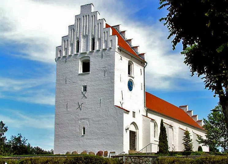 Kirke Hvalsø City, Lejre Kommune4.8 km N
-
 Ortved Village, Ringsted Kommune6.3 km S
-
 Osted Village, Lejre Kommune6.6 km E
-
Kirke Eskilstrup Village, Holbæk Kommune6.3 km NW
-
 Tølløse Village, Holbæk Kommune8.9 km NW
Nearby attractions & nature
Everything nearby-
Høbjerg Mountain, Ringsted Kommune0.6 km NE
-
Stestrup Bjerg Mountain, Holbæk Kommune3.6 km W
-
Egstallebjerg Mountain, Lejre Kommune7.8 km N
-
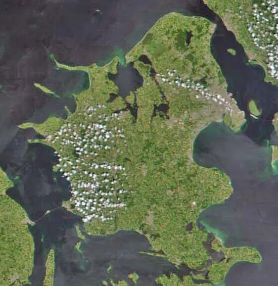 Sjælland Island, Denmark8.6 km SW
-
Herthadal Natural site, Lejre Kommune9.5 km NE
-
Maglebjerg Mountain, Holbæk Kommune12 km W
-
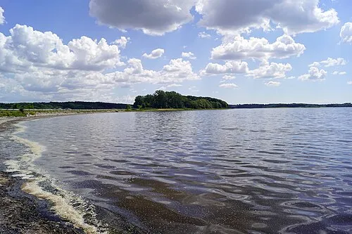 Munkholm Island, Holbæk Kommune14 km N
-
Mørkemose Bjerg Mountain, Holbæk Kommune15 km NW
Sources & licences
Data last updated: · 2 independent sources