Stensved
Located in Vordingborg Kommune, Region Zealand Coordinates: 54°59′50″ N 12°01′47″ E
- Population
- 1,504
- 1.5K
- Elevation
- 60 m
- above sea level
- Local time
- UTC+01:00
- Europe/Copenhagen · UTC+01:00
- Airports
- RKE Copenhagen Roskilde Airport66 km
- CPH Copenhagen Kastrup Airport80 km
About Stensved
Stensved is a village. Location: Vordingborg Kommune, Region Zealand. Population: 1,504. Elevation: 60 m.
Stensved is a town with a population of 1,504 (as of 1. January 2026). It is located 10 km east of Vordingborg on southern Zealand in Vordingborg Municipality, Region Zealand in Denmark. The area what is now Stensved was inhabited already in the Iron Age, which stretched from 500 BC to 500 AD in Denmark.
Source: Wikipedia · CC BY-SA 4.0
Climate of Stensved
Best months for sightseeingBest months for sightseeing: June–August.
This month · November
A cold month
Day 7° · Night 5° · Rain 59 mm
- Hottest month
- July (day 19°)
- Coldest month
- February (night 0°)
- Wettest month
- July (61 mm)
- Driest month
- February (32 mm)
Bars: average monthly low and high temperature. Below: precipitation. Monthly averages for 1970–2000 at about 18 km resolution, adjusted for elevation. Highlighted months are mild and relatively dry. Source: WorldClim 2.1 (CC BY 4.0).
Show values as a table
| Month | Jan | Feb | Mar | Apr | May | Jun | Jul | Aug | Sep | Oct | Nov | Dec |
|---|---|---|---|---|---|---|---|---|---|---|---|---|
| Average high (°C) | 2° | 2° | 4° | 8° | 13° | 17° | 19° | 19° | 16° | 11° | 7° | 4° |
| Average low (°C) | 0° | 0° | 1° | 4° | 8° | 12° | 15° | 15° | 12° | 8° | 5° | 2° |
| Precipitation (mm) | 47 | 32 | 39 | 38 | 42 | 52 | 61 | 58 | 55 | 50 | 59 | 53 |
How to get to Stensved
The nearest airport is Copenhagen Roskilde Airport (RKE), 66 km to the north as the crow flies. For international flights: Copenhagen Kastrup Airport (CPH) (80 km). The nearest large city is Copenhagen, 83 km to the northeast.
Airports
- Copenhagen Roskilde Airport (RKE) Roskilde 66 kmnorth
- Copenhagen Kastrup Airport (CPH) Copenhagen 80 kmnortheast
- Malmö Sturup Airport (MMX) Malmö 104 kmnortheast
Nearby large cities
- Copenhagen Population: 1.2M 83 kmnortheast
- Malmö Population: 362.1K 92 kmnortheast
- Rostock Population: 198.3K 101 kmsouth
- Odense Population: 180.9K 114 kmnorthwest
- Helsingborg Population: 104.2K 124 kmnorth
Straight-line distances; road distances are longer. Airport data: OurAirports.
Day trips from Stensved
Within 100 km: 56 historic and cultural sites, 242 natural sites, 192 lakes, rivers and coasts.
0–25 km22 places
- Falster Island 22 kmS
- Tyreholm Island 14 kmE
- Suderø Island 22 kmW
- Storeholm Island 15 kmN
25–60 km38 places
- Sjælland Island 59 kmN
- Sevedø Island 51 kmNW
- Sandholm Island 46 kmNW
- Rågø Kalv Island 47 kmW
60–100 km430 places
- Amager Island 78 kmNE
- Fehmarn Island 82 kmSW
- Tåsinge Island 92 kmW
- Hiddensee Island 86 kmSE
Straight-line distances.
Nearby attractions & nature
Everything nearby-
Rishøj Mountain, Vordingborg Kommune9.6 km N
-
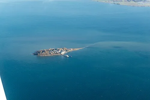 Lindholm Island, Vordingborg Kommune12 km E
-
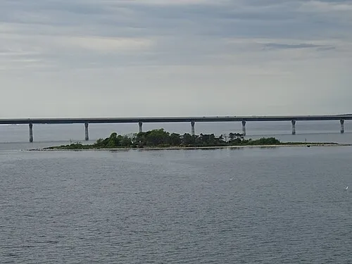 Masnedø Kalv Island, Vordingborg Kommune9.8 km W
-
Barholm Island, Vordingborg Kommune10 km S
-
Degneholm Island, Vordingborg Kommune12 km NE
-
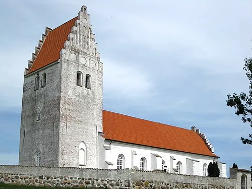 Fanefjord Church Attraction, Vordingborg Kommune13 km SE
Sources & licences
Data last updated: · 2 independent sources