- Elevation
- 1 m
- above sea level
- Local time
- UTC+02:00
- Europe/Helsinki · UTC+02:00
- Airports
- VAA Vaasa Airport55 km
- UME Umeå Airport56 km
About Valsörarna
Valsörarna is an island. Location: Ostrobothnia, Finland.
Valsörarna (in Swedish) or Valassaaret (in Finnish) is a small archipelago in Korsholm, Finland, located in the Kvarken region of the Gulf of Bothnia. The islands are the last you see when going by boat or ferry from Vaasa, Finland to Umeå, Sweden. The archipelago is detached from Korsholm's main Replot-Björkö archipelago. They are uninhabited and there is no road access. However, they are an important bird sanctuary, frequented by birdwatchers and ornithologists.
Source: Wikipedia · CC BY-SA 4.0
Climate of Valsörarna
Best months for sightseeingBest months for sightseeing: July–August.
This month · November
A cold month
Day 3° · Night -1° · Rain 52 mm
- Hottest month
- July (day 18°)
- Coldest month
- February (night -9°)
- Wettest month
- September (58 mm)
- Driest month
- February (26 mm)
Bars: average monthly low and high temperature. Below: precipitation. Monthly averages for 1970–2000 at about 18 km resolution, adjusted for elevation. Highlighted months are mild and relatively dry. Source: WorldClim 2.1 (CC BY 4.0).
Show values as a table
| Month | Jan | Feb | Mar | Apr | May | Jun | Jul | Aug | Sep | Oct | Nov | Dec |
|---|---|---|---|---|---|---|---|---|---|---|---|---|
| Average high (°C) | -3° | -4° | -1° | 3° | 8° | 14° | 18° | 17° | 12° | 7° | 3° | 0° |
| Average low (°C) | -7° | -9° | -6° | -2° | 3° | 9° | 13° | 12° | 8° | 4° | -1° | -4° |
| Precipitation (mm) | 35 | 26 | 30 | 26 | 30 | 39 | 48 | 50 | 58 | 53 | 52 | 40 |
How to get to Valsörarna
The nearest airport is Vaasa Airport (VAA), 55 km to the southeast as the crow flies. The nearest large city is Umeå, 59 km to the northwest.
Airports
- Vaasa Airport (VAA) Vaasa 55 kmsoutheast
- Umeå Airport (UME) Umeå 56 kmnorthwest
- Örnsköldsvik Airport (OER) Örnsköldsvik 104 kmwest
Nearby large cities
- Umeå Population: 130.2K 59 kmnorthwest
Straight-line distances; road distances are longer. Airport data: OurAirports.
Day trips from Valsörarna
Within 100 km: 4 historic and cultural sites, 22 natural sites, 91 lakes, rivers and coasts.
0–25 km4 places
- Björkö Island 17 kmSE
- Malhösarna Island 25 kmNW
- Malgrundet Island 23 kmNW
- Holmögadd Landmark 24 kmNW
25–60 km56 places
- Replot Island 26 kmSE
- Gråskär Island 56 kmW
- Måkläppen Island 56 kmW
- Karthällan Island 56 kmW
60–100 km57 places
- Byklubben Island 63 kmW
- Fjärdgrundet Island 66 kmW
- Blågrundet Natural site 67 kmW
- Vännäs TV Tower Landmark 77 kmNW
Straight-line distances.
Nearest towns and villages
Nearby attractions & nature
Everything nearby-
Malgrundet Island, Västerbotten County23 km NW
-
Malhösarna Island, Västerbotten County25 km NW
-
Björkö Island, Ostrobothnia17 km SE
-
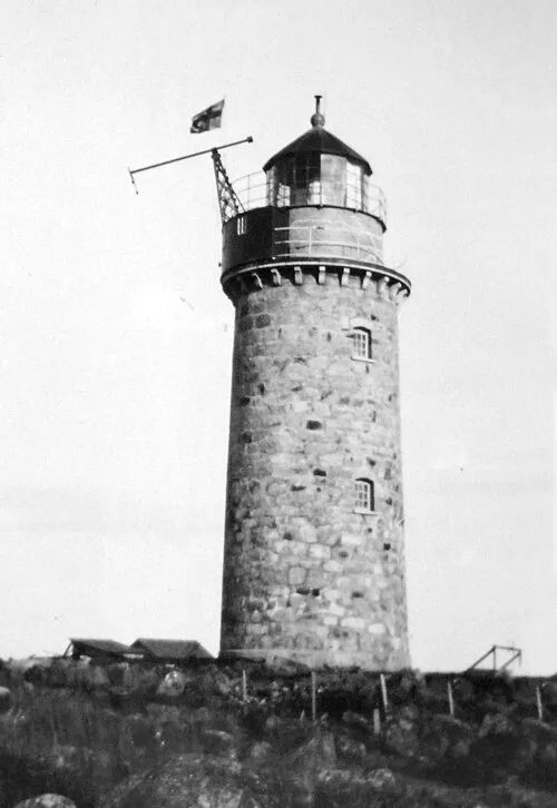 Holmögadd Landmark, Holmön socken24 km NW
Sources & licences
Data last updated: · 2 independent sources