Arrondissement of Beaune
Located in Cote d'Or, Bourgogne-Franche-Comté Coordinates: 47°05′30″ N 4°46′03″ E
- Population
- 109,350
- 109.4K
- Elevation
- 449 m
- above sea level
- Local time
- UTC+01:00
- Europe/Paris · UTC+01:00
- Places inside
- 222
- listed under Arrondissement of Beaune
- Airports
- DLE Dole Tavaux Airport50 km
- GVA Geneva International Airport140 km
About Arrondissement of Beaune
Arrondissement of Beaune is a municipality. Location: Cote d'Or, Bourgogne-Franche-Comté. Population: 109,350. Elevation: 449 m. The best months to visit are June–August. The nearest airport is Dole Tavaux Airport (50 km). Nearby sights include La Forêt au Maître and Bois des Chartreux.
Photos of Arrondissement of Beaune
-
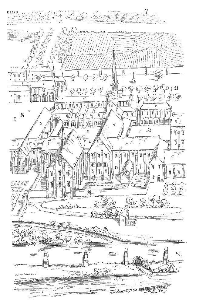
Cîteaux Abbey Wikimedia Commons · Public domain

Climate of Arrondissement of Beaune
Best months for sightseeingBest months for sightseeing: June–August.
This month · November
A cold month
Day 8° · Night 2° · Rain 83 mm
- Hottest month
- July (day 23°)
- Coldest month
- January (night -1°)
- Wettest month
- May (94 mm)
- Driest month
- March (56 mm)
Bars: average monthly low and high temperature. Below: precipitation. Monthly averages for 1970–2000 at about 18 km resolution, adjusted for elevation. Highlighted months are mild and relatively dry. Source: WorldClim 2.1 (CC BY 4.0).
Show values as a table
| Month | Jan | Feb | Mar | Apr | May | Jun | Jul | Aug | Sep | Oct | Nov | Dec |
|---|---|---|---|---|---|---|---|---|---|---|---|---|
| Average high (°C) | 4° | 5° | 10° | 12° | 17° | 20° | 23° | 23° | 19° | 14° | 8° | 5° |
| Average low (°C) | -1° | -1° | 2° | 4° | 8° | 11° | 13° | 13° | 10° | 7° | 2° | 0° |
| Precipitation (mm) | 74 | 64 | 56 | 66 | 94 | 83 | 66 | 68 | 78 | 80 | 83 | 75 |
How to get to Arrondissement of Beaune
The nearest airport is Dole Tavaux Airport (DLE), 50 km to the east as the crow flies. For international flights: Geneva International Airport (GVA) (140 km). The nearest large city is Dijon, 31 km to the northeast.
Airports
- Dole Tavaux Airport (DLE) Dole 50 kmeast
- Geneva International Airport (GVA) Geneva 140 kmsoutheast
- Lyon Saint-Exupéry Airport (LYS) Colombier-Saugnieu, Rhône 154 kmsouth
Nearby large cities
- Dijon Population: 159.9K 31 kmnortheast
- Besançon Population: 128.4K 96 kmeast
- Geneva Population: 201.7K 145 kmsoutheast
- Villeurbanne Population: 131.4K 148 kmsouth
- Lyon Population: 520.8K 149 kmsouth
Straight-line distances; road distances are longer. Airport data: OurAirports.
Day trips from Arrondissement of Beaune
Within 100 km: 196 historic and cultural sites, 464 natural sites, 181 lakes, rivers and coasts.
0–25 km37 places
- Étang des Fontaines Lake 23 kmE
- Étang Fauché Lake 21 kmW
- Étang de Cîteaux Lake 24 kmE
- Étang de Breuil Lake 22 kmW
25–60 km249 places
- Étang de Torcy-Neuf Lake 43 kmSW
- Étang de la Toison Lake 40 kmSW
- Lac des Settons Lake 54 kmW
- Étang de Poisson Lake 54 kmSW
60–100 km555 places
- Bois Dieu Natural site 86 kmS
- Réservoir de Villegusien Lake 84 kmNE
- Étang Seigneur Lake 61 kmSE
- Étang Neuf Lake 96 kmW
Straight-line distances.
Arrondissement of Beaune and similar cities
Side by side with cities of similar size in the same country: population, elevation and climate.
| Measure | Arrondissement of Beaune | Boulogne-Billancourt | Caen | Perpignan |
|---|---|---|---|---|
| Population | 109.4K | 108.8K | 110.6K | 110.7K |
| Elevation | 449 m | 35 m | 21 m | 43 m |
| Summer day (hottest month) | 23° | 25° | 23° | 29° |
| Winter night (coldest month) | -1° | 2° | 3° | 4° |
| Annual rainfall | 887 mm | 632 mm | 754 mm | 540 mm |
| Best months | Jun–Aug | May–Sep | Jun–Sep | May–Oct |
| Distance | — | 270 km | 447 km | 510 km |
Climate values are 1970–2000 monthly averages; straight-line distance.
Places in Arrondissement of Beaune
222 places- 61 Bonnencontre 449
- 62 Corberon 448
- 63 Saint-Philibert 440
- 64 Broin 435
- 65 Laperrière-sur-Saône 431
- 66 Saint-Nicolas-lès-Cîteaux 427
- 67 Gerland 421
- 68 Pagny-la-Ville 408
- 69 Premeaux-Prissey 403
- 70 Villers-la-Faye 398
- 71 Saint-Seine-en-Bâche 397
- 72 Villebichot 390
- 73 Puligny-Montrachet 387
- 74 Corgengoux 379
- 75 Chambœuf 374
- 76 Savouges 371
- 77 Viévy 357
- 78 Charrey-sur-Saône 353
- 79 Saint-Symphorien-sur-Saône 351
- 80 Vosne-Romanée 350
- 81 Chevigny-en-Valière 348
- 82 Villy-le-Moutier 345
- 83 Auvillars-sur-Saône 335
- 84 Meloisey 332
- 85 Jallanges 329
- 86 Valforêt 326
- 87 Levernois 322
- 88 Bouze-lès-Beaune 317
- 89 Magnien 315
- 90 Chassagne-Montrachet 308
- 91 Auxey-Duresses 307
- 92 Mimeure 306
- 93 Chivres 299
- 94 Vandenesse-en-Auxois 299
- 95 Saint-Martin-de-la-Mer 298
- 96 Chambolle-Musigny 296
- 97 La Rochepot 289
- 98 Boncourt-le-Bois 287
- 99 Thury 286
- 100 Échevronne 283
- 101 Lanthes 277
- 102 Essey 276
- 103 Ébaty 258
- 104 Val-Mont 258
- 105 Sussey 256
- 106 Pernand-Vergelesses 248
- 107 Magny-lès-Villers 246
- 108 Chailly-sur-Armançon 245
- 109 Mont-Saint-Jean 245
- 110 Volnay 240
- 111 Glanon 239
- 112 Messanges 238
- 113 Bellenot-sous-Pouilly 231
- 114 Saint-Prix-lès-Arnay 231
- 115 Lechâtelet 229
- 116 Labruyère 226
- 117 Saint-Aubin 223
- 118 Arconcey 221
- 119 Saint-Romain 218
- 120 L'Étang-Vergy 213
Bar: population relative to the most populous place in this list.
Nearby attractions & nature
Everything nearby-
La Forêt au Maître Natural site, Cote d'Or2.5 km NW
-
Bois des Chartreux Natural site, Cote d'Or2.6 km E
-
Bois de Cramport Natural site, Cote d'Or4 km NE
-
Bois de Montmain Natural site, Cote d'Or6.9 km NE
-
Bois de Chevigny Natural site, Cote d'Or12 km N
-
Forêt de Bouhey Natural site, Cote d'Or13 km NW
-
Bois de la Grande Combe Natural site, Cote d'Or13 km N
-
Forêt de Daviot Natural site, Cote d'Or16 km N
Sources & licences
Data last updated: