Arrondissement of Beaune
Located in Cote d'Or, Bourgogne-Franche-Comté Coordinates: 47°05′30″ N 4°46′03″ E
- Population
- 109,350
- 109.4K
- Elevation
- 449 m
- above sea level
- Local time
- UTC+01:00
- Europe/Paris · UTC+01:00
- Places inside
- 222
- listed under Arrondissement of Beaune
- Airports
- DLE Dole Tavaux Airport50 km
- GVA Geneva International Airport140 km
About Arrondissement of Beaune
Arrondissement of Beaune is a municipality. Location: Cote d'Or, Bourgogne-Franche-Comté. Population: 109,350. Elevation: 449 m. The best months to visit are June–August. The nearest airport is Dole Tavaux Airport (50 km). Nearby sights include La Forêt au Maître and Bois des Chartreux.
Photos of Arrondissement of Beaune
-
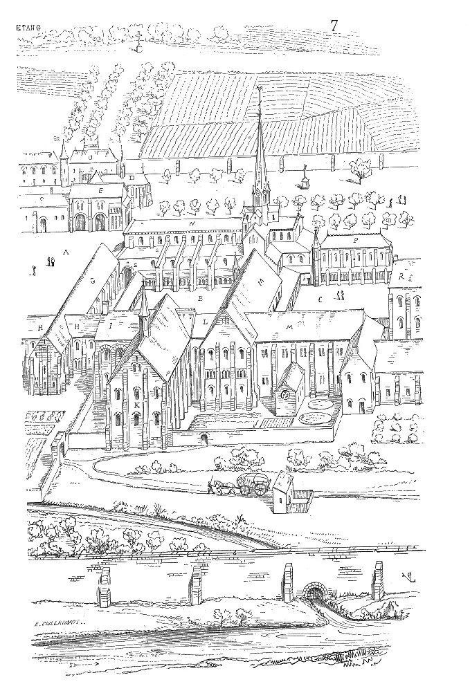
Cîteaux Abbey Wikimedia Commons · Public domain

Climate of Arrondissement of Beaune
Best months for sightseeingBest months for sightseeing: June–August.
This month · November
A cold month
Day 8° · Night 2° · Rain 83 mm
- Hottest month
- July (day 23°)
- Coldest month
- January (night -1°)
- Wettest month
- May (94 mm)
- Driest month
- March (56 mm)
Bars: average monthly low and high temperature. Below: precipitation. Monthly averages for 1970–2000 at about 18 km resolution, adjusted for elevation. Highlighted months are mild and relatively dry. Source: WorldClim 2.1 (CC BY 4.0).
Show values as a table
| Month | Jan | Feb | Mar | Apr | May | Jun | Jul | Aug | Sep | Oct | Nov | Dec |
|---|---|---|---|---|---|---|---|---|---|---|---|---|
| Average high (°C) | 4° | 5° | 10° | 12° | 17° | 20° | 23° | 23° | 19° | 14° | 8° | 5° |
| Average low (°C) | -1° | -1° | 2° | 4° | 8° | 11° | 13° | 13° | 10° | 7° | 2° | 0° |
| Precipitation (mm) | 74 | 64 | 56 | 66 | 94 | 83 | 66 | 68 | 78 | 80 | 83 | 75 |
How to get to Arrondissement of Beaune
The nearest airport is Dole Tavaux Airport (DLE), 50 km to the east as the crow flies. For international flights: Geneva International Airport (GVA) (140 km). The nearest large city is Dijon, 31 km to the northeast.
Airports
- Dole Tavaux Airport (DLE) Dole 50 kmeast
- Geneva International Airport (GVA) Geneva 140 kmsoutheast
- Lyon Saint-Exupéry Airport (LYS) Colombier-Saugnieu, Rhône 154 kmsouth
Nearby large cities
- Dijon Population: 159.9K 31 kmnortheast
- Besançon Population: 128.4K 96 kmeast
- Geneva Population: 201.7K 145 kmsoutheast
- Villeurbanne Population: 131.4K 148 kmsouth
- Lyon Population: 520.8K 149 kmsouth
Straight-line distances; road distances are longer. Airport data: OurAirports.
Day trips from Arrondissement of Beaune
Within 100 km: 196 historic and cultural sites, 464 natural sites, 181 lakes, rivers and coasts.
0–25 km37 places
- Étang des Fontaines Lake 23 kmE
- Étang Fauché Lake 21 kmW
- Étang de Cîteaux Lake 24 kmE
- Étang de Breuil Lake 22 kmW
25–60 km249 places
- Étang de Torcy-Neuf Lake 43 kmSW
- Étang de la Toison Lake 40 kmSW
- Lac des Settons Lake 54 kmW
- Étang de Poisson Lake 54 kmSW
60–100 km555 places
- Bois Dieu Natural site 86 kmS
- Réservoir de Villegusien Lake 84 kmNE
- Étang Seigneur Lake 61 kmSE
- Étang Neuf Lake 96 kmW
Straight-line distances.
Arrondissement of Beaune and similar cities
Side by side with cities of similar size in the same country: population, elevation and climate.
| Measure | Arrondissement of Beaune | Boulogne-Billancourt | Caen | Perpignan |
|---|---|---|---|---|
| Population | 109.4K | 108.8K | 110.6K | 110.7K |
| Elevation | 449 m | 35 m | 21 m | 43 m |
| Summer day (hottest month) | 23° | 25° | 23° | 29° |
| Winter night (coldest month) | -1° | 2° | 3° | 4° |
| Annual rainfall | 887 mm | 632 mm | 754 mm | 540 mm |
| Best months | Jun–Aug | May–Sep | Jun–Sep | May–Oct |
| Distance | — | 270 km | 447 km | 510 km |
Climate values are 1970–2000 monthly averages; straight-line distance.
Places in Arrondissement of Beaune
222 places- 1 Beaune 21.6K
- 2 Nuits-Saint-Georges 5.5K
- 3 Gevrey-Chambertin 3.1K
- 4 Brazey-en-Plaine 2.4K
- 5 Seurre 2.4K
- 6 Ladoix-Serrigny 1.8K
- 7 Losne 1.6K
- 8 Nolay 1.5K
- 9 Arnay-le-Duc 1.5K
- 10 Pouilly-en-Auxois 1.4K
- 11 Meursault 1.4K
- 12 Saint-Usage 1.4K
- 13 Savigny-lès-Beaune 1.3K
- 14 Bligny-lès-Beaune 1.2K
- 15 Couchey 1.1K
- 16 Saint-Jean-de-Losne 1.1K
- 17 Noiron-sous-Gevrey 1.1K
- 18 Labergement-lès-Seurre 999
- 19 Saulon-la-Chapelle 976
- 20 Corpeau 961
- 21 Vignoles 899
- 22 Corgoloin 896
- 23 Santenay 874
- 24 Sainte-Marie-la-Blanche 873
- 25 Bligny-sur-Ouche 838
- 26 Merceuil 815
- 27 Corcelles-lès-Cîteaux 814
- 28 Échenon 775
- 29 Fixin 749
- 30 Esbarres 704
- 31 Ruffey-lès-Beaune 696
- 32 Saulon-la-Rue 696
- 33 Gilly-lès-Cîteaux 691
- 34 Montagny-lès-Beaune 676
- 35 Morey-Saint-Denis 674
- 36 Brochon 664
- 37 Comblanchien 649
- 38 Chorey-les-Beaune 632
- 39 Pouilly-sur-Saône 626
- 40 Trouhans 611
- 41 Barges 606
- 42 Lacanche 566
- 43 Combertault 565
- 44 Meursanges 552
- 45 Pommard 523
- 46 Liernais 520
- 47 Créancey 519
- 48 Pagny-le-Château 511
- 49 Arcenant 510
- 50 Argilly 508
- 51 Quincey 507
- 52 Aubigny-en-Plaine 494
- 53 Chaux 488
- 54 Corcelles-les-Arts 472
- 55 Franxault 469
- 56 Meuilley 466
- 57 Flagey-Echézeaux 464
- 58 Chamblanc 459
- 59 Agencourt 455
- 60 Saint-Bernard 450
Bar: population relative to the most populous place in this list.
Nearby attractions & nature
Everything nearby-
La Forêt au Maître Natural site, Cote d'Or2.5 km NW
-
Bois des Chartreux Natural site, Cote d'Or2.6 km E
-
Bois de Cramport Natural site, Cote d'Or4 km NE
-
Bois de Montmain Natural site, Cote d'Or6.9 km NE
-
Bois de Chevigny Natural site, Cote d'Or12 km N
-
Forêt de Bouhey Natural site, Cote d'Or13 km NW
-
Bois de la Grande Combe Natural site, Cote d'Or13 km N
-
Forêt de Daviot Natural site, Cote d'Or16 km N
Sources & licences
Data last updated: