Bois de Nan
Located in Haute-Saône, Bourgogne-Franche-Comté Coordinates: 47°37′00″ N 6°42′00″ E
- Elevation
- 506 m
- above sea level
- Local time
- UTC+01:00
- Europe/Paris · UTC+01:00
- Airports
- BSL EuroAirport Basel–Mulhouse–Freiburg62 km
- BRN Bern Airport99 km
About Bois de Nan
Bois de Nan is a natural site. Location: Haute-Saône, Bourgogne-Franche-Comté. The best months to visit are June–August. The nearest airport is EuroAirport Basel–Mulhouse–Freiburg (62 km). Nearby sights include Les Bois de Saulnot and Mont Salbert.
Climate of Bois de Nan
Best months for sightseeingBest months for sightseeing: June–August.
This month · November
A wet month
Day 7° · Night 0° · Rain 101 mm
- Hottest month
- July (day 23°)
- Coldest month
- January (night -3°)
- Wettest month
- December (105 mm)
- Driest month
- March (73 mm)
Bars: average monthly low and high temperature. Below: precipitation. Monthly averages for 1970–2000 at about 18 km resolution, adjusted for elevation. Highlighted months are mild and relatively dry. Source: WorldClim 2.1 (CC BY 4.0).
Show values as a table
| Month | Jan | Feb | Mar | Apr | May | Jun | Jul | Aug | Sep | Oct | Nov | Dec |
|---|---|---|---|---|---|---|---|---|---|---|---|---|
| Average high (°C) | 3° | 5° | 9° | 12° | 17° | 21° | 23° | 23° | 19° | 13° | 7° | 4° |
| Average low (°C) | -3° | -2° | 0° | 2° | 7° | 10° | 12° | 11° | 8° | 5° | 0° | -2° |
| Precipitation (mm) | 91 | 86 | 73 | 73 | 93 | 92 | 82 | 75 | 87 | 91 | 101 | 105 |
How to get to Bois de Nan
The nearest airport is EuroAirport Basel–Mulhouse–Freiburg (BSL), 62 km to the east as the crow flies. The nearest large city is Mulhouse, 50 km to the east.
Airports
- EuroAirport Basel–Mulhouse–Freiburg (BSL) Bâle / Mulhouse 62 kmeast
- Bern Airport (BRN) Bern 99 kmsoutheast
- Dole Tavaux Airport (DLE) Dole 116 kmsouthwest
Nearby large cities
- Mulhouse Population: 111.4K 50 kmeast
- Besançon Population: 128.4K 66 kmsouthwest
- Basel Population: 177.6K 66 kmeast
- Bern Population: 121.6K 93 kmsoutheast
- Freiburg im Breisgau Population: 237.5K 96 kmnortheast
Straight-line distances; road distances are longer. Airport data: OurAirports.
Day trips from Bois de Nan
Within 100 km: 341 historic and cultural sites, 853 natural sites, 256 lakes, rivers and coasts.
0–25 km73 places
- Lac du Lachtelweiher Lake 25 kmNE
- étang du Petit-Haut Lake 23 kmNE
- étang des Roseaux Lake 22 kmNE
- La Côte Mountain 22 kmNE
25–60 km393 places
- Etang de la Gruère Lake 50 kmSE
- Etangs Rougeat Lake 39 kmSE
- Lac de Moron Lake 58 kmS
- Pisciculture Lake 35 kmSE
60–100 km984 places
- Kleiner Bremgartenwald Mountain 91 kmSE
- Sankt Petersinsel Island 69 kmSE
- Lake Wohlen Lake 87 kmSE
- Lake Neuchâtel Lake 78 kmS
Straight-line distances.
Nearest towns and villages
Nearby attractions & nature
Everything nearby-
Les Bois de Saulnot Natural site, Haute-Saône4.2 km SW
-
Mont Salbert Mountain, Belfort9.8 km NE
-
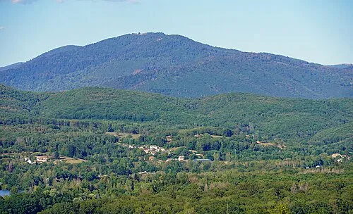 La Planche des Belles Filles Mountain, Plancher-les-Mines18 km N
-
Forêt de Grange Natural site, Haute-Saône9.7 km W
-
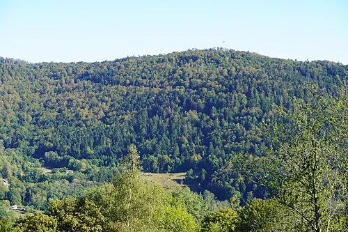 Mont Ménard Mountain, Plancher-les-Mines15 km N
-
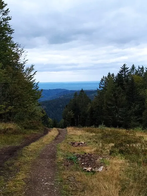 Le Ballon Mountain, Plancher-les-Mines19 km N
-
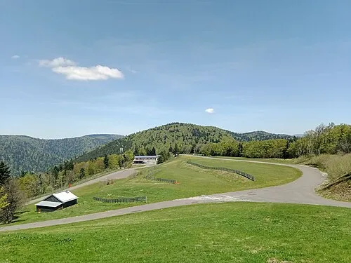 Ballon Saint-Antoine Mountain, Plancher-les-Mines20 km N
-
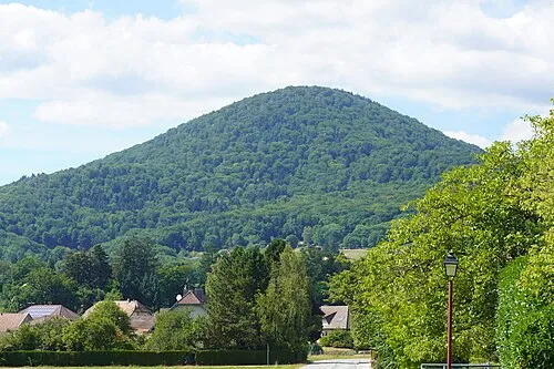 Le Fayé Mountain, Étueffont20 km NE
More nature in France
-
Tête des Sapins Mountain, Plancher-les-Mines17 km N
-
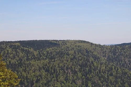 Plateau de Bravouse Mountain, Servance-Miellin22 km N
-
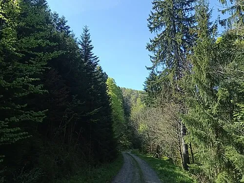 Tête des Fougères Mountain, Plancher-les-Mines22 km NE
-
Le Mont Cornu Mountain, Servance-Miellin21 km N
-
Tête de la Grande Goutte Mountain, Plancher-les-Mines24 km N
-
Bois des Franches Communes Natural site, Haute-Saône21 km NW
Sources & licences
Data last updated: