Forêt de la Chaux du Dombief
Located in Jura, Bourgogne-Franche-Comté Coordinates: 46°35′00″ N 5°53′00″ E
- Elevation
- 987 m
- above sea level
- Local time
- UTC+01:00
- Europe/Paris · UTC+01:00
- Airports
- GVA Geneva International Airport42 km
- DLE Dole Tavaux Airport61 km
About Forêt de la Chaux du Dombief
Forêt de la Chaux du Dombief is a natural site. Location: Jura, Bourgogne-Franche-Comté. The best months to visit are July–August. The nearest airport is Geneva International Airport (42 km). Nearby sights include Lac de la Motte and Forêt de la Crochère.
Climate of Forêt de la Chaux du Dombief
Best months for sightseeingBest months for sightseeing: July–August.
This month · November
A wet month
Day 6° · Night -1° · Rain 125 mm
- Hottest month
- July (day 21°)
- Coldest month
- January (night -4°)
- Wettest month
- November (125 mm)
- Driest month
- March (93 mm)
Bars: average monthly low and high temperature. Below: precipitation. Monthly averages for 1970–2000 at about 18 km resolution, adjusted for elevation. Highlighted months are mild and relatively dry. Source: WorldClim 2.1 (CC BY 4.0).
Show values as a table
| Month | Jan | Feb | Mar | Apr | May | Jun | Jul | Aug | Sep | Oct | Nov | Dec |
|---|---|---|---|---|---|---|---|---|---|---|---|---|
| Average high (°C) | 1° | 3° | 7° | 10° | 15° | 18° | 21° | 20° | 17° | 12° | 6° | 2° |
| Average low (°C) | -4° | -4° | -2° | 1° | 5° | 8° | 10° | 10° | 7° | 4° | -1° | -3° |
| Precipitation (mm) | 112 | 108 | 93 | 100 | 114 | 119 | 98 | 94 | 116 | 117 | 125 | 124 |
How to get to Forêt de la Chaux du Dombief
The nearest airport is Geneva International Airport (GVA), 42 km to the southeast as the crow flies. The nearest large city is Geneva, 47 km to the southeast.
Airports
- Geneva International Airport (GVA) Geneva 42 kmsoutheast
- Dole Tavaux Airport (DLE) Dole 61 kmnorthwest
- Annecy Meythet airport (NCY) Annecy 75 kmsouth
Nearby large cities
- Geneva Population: 201.7K 47 kmsoutheast
- Lausanne Population: 139.1K 58 kmeast
- Besançon Population: 128.4K 75 kmnorth
- Dijon Population: 159.9K 105 kmnorthwest
- Villeurbanne Population: 131.4K 119 kmsouthwest
Straight-line distances; road distances are longer. Airport data: OurAirports.
Day trips from Forêt de la Chaux du Dombief
Within 100 km: 198 historic and cultural sites, 944 natural sites, 278 lakes, rivers and coasts.
0–25 km53 places
- Le Mont Risoux Mountain 20 kmE
- Pointe de Poêle Chaud Mountain 24 kmSE
- Pointe de Fin Château Mountain 24 kmSE
- Mont Pelé Mountain 22 kmSE
25–60 km256 places
- Lac de Joux Lake 32 kmE
- Lake Leman Lake 48 kmE
- Lac Brenet Lake 35 kmE
- Etang du Moulin de Vert Lake 46 kmS
60–100 km1,111 places
- Ile de Salagnon Island 78 kmE
- Ile d'Ogoz Island 94 kmE
- Lake Neuchâtel Lake 85 kmNE
- Lake Murten Lake 99 kmNE
Straight-line distances.
Nearest towns and villages
-
La Chaux-du-Dombief Village, Arrondissement of Saint-Claude2.5 km NE
-
La Chaux-du-Dombief Village, La Chaux-du-Dombief2.5 km NE
-
Saint-Pierre Village, Arrondissement of Saint-Claude3.2 km SE
-
Bonlieu Village, Arrondissement of Lons-le-Saunier3 km NW
-
Saint-Pierre Village, Saint-Pierre3.2 km SE
-
Saint-Maurice-Crillat Village, Arrondissement of Lons-le-Saunier4.2 km W
Nearby attractions & nature
Everything nearby-
Lac de la Motte Lake, Jura4.8 km N
-
Forêt de la Crochère Natural site, Jura6.7 km SW
-
Forêt de Prénovel Natural site, Jura6.7 km SW
-
Forêt de la Joux Devant Natural site, Jura8.1 km SE
-
Lac de Narlay Lake, Le Frasnois7 km N
-
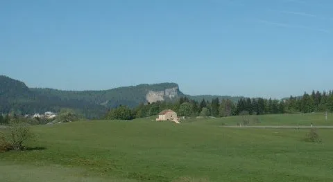 Mont Fier Mountain, Prémanon16 km SE
-
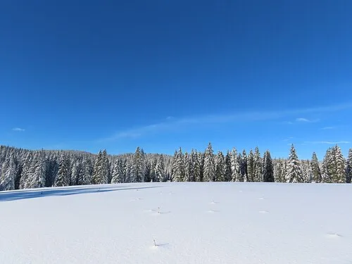 Le Mont Noir Mountain, Châtelblanc17 km E
-
Forêt de la Joux Natural site, Jura10 km SW
More nature in France
-
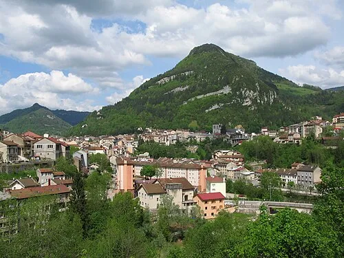 Mont Bayard Mountain, Saint-Claude21 km S
-
Forêt du Mont Noir Natural site, Jura13 km E
-
Bois de la Sourde Natural site, Jura13 km S
-
Forêt du Chanet Natural site, Jura14 km NW
-
Crêt à la Dame Mountain, Hauts de Bienne15 km E
-
Bois de Châtillon Natural site, Jura15 km NW
Sources & licences
Data last updated: