- Elevation
- 1,273 m
- above sea level
- Local time
- UTC+01:00
- Europe/Paris · UTC+01:00
- Airports
- CLY Calvi Sainte Catherine Airport31 km
- BIA Bastia-Poretta International airport42 km
About Bois de Pozzi
Bois de Pozzi is a natural site. Location: Upper Corsica, Corsica. The best months to visit are July–August. The nearest airport is Calvi Sainte Catherine Airport (31 km). Nearby sights include Monte Agutu and Pinerole.
Climate of Bois de Pozzi
Best months for sightseeingBest months for sightseeing: July–August.
This month · November
A wet month
Day 9° · Night 4° · Rain 119 mm
- Hottest month
- July (day 22°)
- Coldest month
- February (night 0°)
- Wettest month
- November (119 mm)
- Driest month
- July (17 mm)
Bars: average monthly low and high temperature. Below: precipitation. Monthly averages for 1970–2000 at about 18 km resolution, adjusted for elevation. Highlighted months are mild and relatively dry. Source: WorldClim 2.1 (CC BY 4.0).
Show values as a table
| Month | Jan | Feb | Mar | Apr | May | Jun | Jul | Aug | Sep | Oct | Nov | Dec |
|---|---|---|---|---|---|---|---|---|---|---|---|---|
| Average high (°C) | 5° | 5° | 7° | 10° | 14° | 19° | 22° | 22° | 18° | 14° | 9° | 6° |
| Average low (°C) | 0° | 0° | 1° | 3° | 7° | 10° | 14° | 14° | 11° | 8° | 4° | 1° |
| Precipitation (mm) | 97 | 86 | 80 | 72 | 54 | 40 | 17 | 30 | 73 | 115 | 119 | 104 |
How to get to Bois de Pozzi
The nearest airport is Calvi Sainte Catherine Airport (CLY), 31 km to the northwest as the crow flies. For international flights: Bastia-Poretta International airport (BIA) (42 km). The nearest large city is Nice, 211 km to the northwest.
Airports
- Calvi Sainte Catherine Airport (CLY) Calvi 31 kmnorthwest
- Bastia-Poretta International airport (BIA) Bastia 42 kmnortheast
- Ajaccio Napoléon Bonaparte airport (AJA) Ajaccio 50 kmsouthwest
Nearby large cities
- Nice Population: 342.7K 211 kmnorthwest
- Toulon Population: 168.7K 272 kmwest
- Marseille Population: 877.2K 320 kmwest
- Aix-en-Provence Population: 146.8K 324 kmnorthwest
Straight-line distances; road distances are longer. Airport data: OurAirports.
Nearest towns and villages
-
Corscia Village, Arrondissement of Corte3.1 km NW
-
Corscia Village, Corscia3.1 km NW
-
Calacuccia Village, Arrondissement of Corte4.1 km W
-
Calacuccia Village, Calacuccia4.2 km W
-
Corte Village, Arrondissement of Corte7.1 km SE
-
Lozzi Village, Arrondissement of Corte5.4 km W
Nearby attractions & nature
Everything nearby-
Monte Agutu Mountain, Corscia2 km NE
-
Pinerole Mountain, Soveria2.6 km E
-
Capu di a Borba Mountain, Calacuccia2.6 km SW
-
Punta Finosa Mountain, Corte2.7 km SE
-
Forêt Territoriale de Melo Natural site, Upper Corsica2.6 km S
-
Scala di Santa Regina Natural site, Corsica3 km N
-
Piano di Roma Mountain, Castirla4.7 km NE
-
Capo Tubani Mountain, Corscia5.4 km N
More nature in France
-
Capu di a Candela Mountain, Casamaccioli6.3 km SW
-
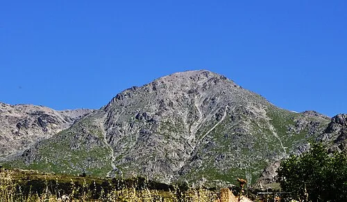 Capu a u Verdatu Mountain, Corscia9.7 km NW
-
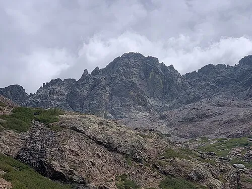 Monte Cinto Mountain, Asco11 km NW
-
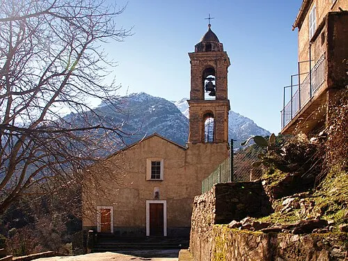 Capo Bianco Mountain, Asco10 km NW
-
Capo d'Alici Mountain, Castiglione7.2 km NE
-
Forêt Territoriale de Forca Natural site, Upper Corsica4.4 km E
Sources & licences
Data last updated: