Forêt Territoriale de Melaja
Located in Upper Corsica, Corsica Coordinates: 42°30′08″ N 8°57′38″ E
- Elevation
- 1,093 m
- above sea level
- Local time
- UTC+01:00
- Europe/Paris · UTC+01:00
- Airports
- CLY Calvi Sainte Catherine Airport14 km
- BIA Bastia-Poretta International airport43 km
About Forêt Territoriale de Melaja
Forêt Territoriale de Melaja is a natural site. Location: Upper Corsica, Corsica. The best months to visit are July–August. The nearest airport is Calvi Sainte Catherine Airport (14 km). Nearby sights include San Parteo and Cima Caselle.
Climate of Forêt Territoriale de Melaja
Best months for sightseeingBest months for sightseeing: July–August.
This month · November
A wet month
Day 10° · Night 4° · Rain 116 mm
- Hottest month
- July (day 23°)
- Coldest month
- February (night 0°)
- Wettest month
- October (122 mm)
- Driest month
- July (14 mm)
Bars: average monthly low and high temperature. Below: precipitation. Monthly averages for 1970–2000 at about 18 km resolution, adjusted for elevation. Highlighted months are mild and relatively dry. Source: WorldClim 2.1 (CC BY 4.0).
Show values as a table
| Month | Jan | Feb | Mar | Apr | May | Jun | Jul | Aug | Sep | Oct | Nov | Dec |
|---|---|---|---|---|---|---|---|---|---|---|---|---|
| Average high (°C) | 6° | 7° | 8° | 11° | 15° | 19° | 23° | 22° | 19° | 15° | 10° | 7° |
| Average low (°C) | 0° | 0° | 1° | 3° | 7° | 10° | 13° | 14° | 11° | 8° | 4° | 1° |
| Precipitation (mm) | 86 | 79 | 75 | 73 | 50 | 38 | 14 | 29 | 75 | 122 | 116 | 97 |
How to get to Forêt Territoriale de Melaja
The nearest airport is Calvi Sainte Catherine Airport (CLY), 14 km to the west as the crow flies. For international flights: Bastia-Poretta International airport (BIA) (43 km). The nearest large city is Nice, 192 km to the northwest.
Airports
- Calvi Sainte Catherine Airport (CLY) Calvi 14 kmwest
- Bastia-Poretta International airport (BIA) Bastia 43 kmeast
- Ajaccio Napoléon Bonaparte airport (AJA) Ajaccio 66 kmsouth
Nearby large cities
- Nice Population: 342.7K 192 kmnorthwest
- Toulon Population: 168.7K 257 kmwest
- Marseille Population: 877.2K 305 kmwest
- Aix-en-Provence Population: 146.8K 308 kmnorthwest
- Grenoble Population: 158.6K 396 kmnorthwest
Straight-line distances; road distances are longer. Airport data: OurAirports.
Nearest towns and villages
Nearby attractions & nature
Everything nearby-
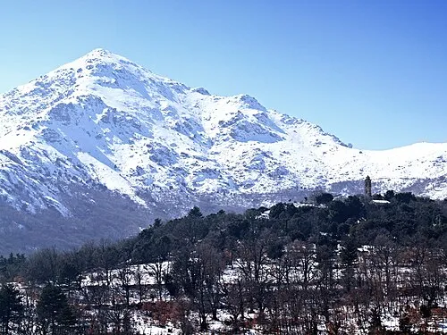 San Parteo Mountain, Pioggiola2 km N
-
Cima Caselle Mountain, Zilia2.3 km NW
-
Punta di Sordali Mountain, Mausoléo2.7 km SW
-
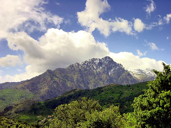 Monte Padro Mountain, Asco4.5 km SE
-
Punta Radiche Mountain, Mausoléo3.7 km SW
-
Monte Grosso Mountain, Zilia3.1 km W
-
Monte Tolu Mountain, Nessa4.1 km N
-
Forêt Territoriale de Tartagine-Melaja Natural site, Upper Corsica3.6 km S
More nature in France
-
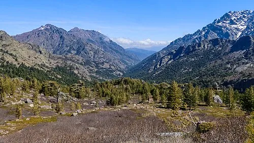 Cima della Statoja Mountain, Asco5.2 km S
-
Capo al Dente Mountain, Mausoléo5 km SW
-
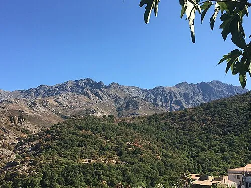 Monte Longu Mountain, Feliceto6.9 km N
-
Mont Corona Mountain, Olmi-Cappella5.8 km SW
-
Cima Mazzicata Mountain, Asco5.9 km SE
-
Capo Selolla Mountain, Asco6.1 km SE
Sources & licences
Data last updated: