- Elevation
- 238 m
- above sea level
- Local time
- UTC+01:00
- Europe/Paris · UTC+01:00
- Airports
- SCN Saarbrücken Airport39 km
- FKB Karlsruhe Baden-Baden Airport48 km
About Parc Naturel Régional des Vosges du Nord
Parc Naturel Régional des Vosges du Nord is a natural site. Location: Bas-Rhin, Grand Est. The best months to visit are June–August. The nearest airport is Saarbrücken Airport (39 km). Nearby sights include Kirchberg and Huettenberg.
Climate of Parc Naturel Régional des Vosges du Nord
Best months for sightseeingBest months for sightseeing: June–August.
This month · November
A cold month
Day 8° · Night 2° · Rain 75 mm
- Hottest month
- July (day 23°)
- Coldest month
- January (night -1°)
- Wettest month
- June (81 mm)
- Driest month
- April (56 mm)
Bars: average monthly low and high temperature. Below: precipitation. Monthly averages for 1970–2000 at about 18 km resolution, adjusted for elevation. Highlighted months are mild and relatively dry. Source: WorldClim 2.1 (CC BY 4.0).
Show values as a table
| Month | Jan | Feb | Mar | Apr | May | Jun | Jul | Aug | Sep | Oct | Nov | Dec |
|---|---|---|---|---|---|---|---|---|---|---|---|---|
| Average high (°C) | 4° | 5° | 10° | 13° | 18° | 21° | 23° | 23° | 19° | 13° | 8° | 5° |
| Average low (°C) | -1° | -1° | 2° | 4° | 8° | 11° | 13° | 12° | 9° | 6° | 2° | 0° |
| Precipitation (mm) | 61 | 60 | 58 | 56 | 80 | 81 | 71 | 60 | 67 | 75 | 75 | 81 |
How to get to Parc Naturel Régional des Vosges du Nord
The nearest airport is Saarbrücken Airport (SCN), 39 km to the northwest as the crow flies. For international flights: Karlsruhe Baden-Baden Airport (FKB) (48 km). The nearest large city is Saarbrücken, 45 km to the northwest.
Airports
- Saarbrücken Airport (SCN) Saarbrücken 39 kmnorthwest
- Karlsruhe Baden-Baden Airport (FKB) Rheinmünster 48 kmsoutheast
- Strasbourg Airport (SXB) Strasbourg 50 kmsouth
Nearby large cities
- Saarbrücken Population: 183K 45 kmnorthwest
- Strasbourg Population: 274.8K 47 kmsoutheast
- Karlsruhe Population: 283.8K 67 kmeast
- Pforzheim Population: 119.3K 89 kmeast
- Ludwigshafen am Rhein Population: 163.2K 89 kmnortheast
Straight-line distances; road distances are longer. Airport data: OurAirports.
Day trips from Parc Naturel Régional des Vosges du Nord
Within 100 km: 537 historic and cultural sites, 2,874 natural sites, 611 lakes, rivers and coasts.
0–25 km305 places
- Zündelsberg Mountain 20 kmNE
- Kahlenberg Mountain 23 kmNW
- Hoher Kopf Mountain 19 kmNE
- Hohelist Mountain 18 kmNE
25–60 km1,148 places
- Rench River 48 kmSE
- Gelterswoog Lake 49 kmN
- Ottweiler Wingertsweier Lake 54 kmNW
- Bomberg Mountain 59 kmNW
60–100 km2,569 places
- Unditz River 65 kmSE
- Friesenheimer Insel Island 92 kmNE
- Insel Flotzgrün Island 77 kmNE
- Neckarinsel Island 99 kmNE
Straight-line distances.
Nearest towns and villages
-
Baerenthal Village, Arrondissement of Sarreguemines1.6 km E
-
Baerenthal Village, Baerenthal1.7 km E
-
Mouterhouse Village, Arrondissement of Sarreguemines3.8 km W
-
Fourneau Neuf Village, Mouterhouse1.2 km NW
-
Mouterhouse Village, Mouterhouse3.7 km W
-
Éguelshardt Village, Arrondissement of Sarreguemines4.7 km N
Nearby attractions & nature
Everything nearby-
Kirchberg Mountain, Baerenthal0.9 km E
-
Huettenberg Mountain, Baerenthal0.9 km SE
-
Eichelsberg Mountain, Mouterhouse1.7 km NW
-
Muehlberg Mountain, Baerenthal2 km S
-
Hohe Ehl Mountain, Baerenthal2.1 km SE
-
Silberberg Mountain, Baerenthal2.2 km NE
-
Ranschachen Mountain, Mouterhouse2.3 km NW
-
Huttenberg Mountain, Baerenthal2.4 km SE
More nature in France
-
Hoch Ebersberg Mountain, Reipertswiller2.9 km SW
-
Dietrichskopf Mountain, Offwiller3.8 km S
-
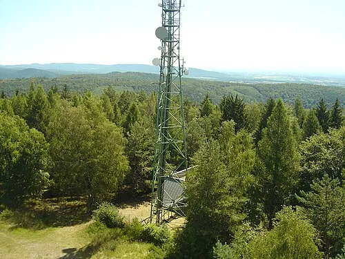 Grand Wintersberg Mountain, Niederbronn-les-Bains8.7 km E
-
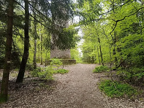 Wasenkoepfel Mountain, Oberbronn8.3 km SE
-
Hengstberg Mountain, Reipertswiller5.5 km SW
-
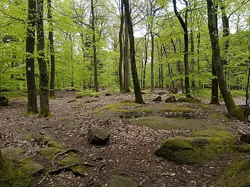 Reisberg Mountain, Niederbronn-les-Bains8.7 km E
Sources & licences
Data last updated: