Kruth
Located in Arrondissement de Thann-Guebwiller, Haut-Rhin Coordinates: 47°55′51″ N 6°57′50″ E
- Population
- 943
- 943
- Elevation
- 492 m
- above sea level
- Local time
- UTC+01:00
- Europe/Paris · UTC+01:00
- Places inside
- 4
- listed under Kruth
- Airports
- BSL EuroAirport Basel–Mulhouse–Freiburg56 km
- SXB Strasbourg Airport84 km
About Kruth
Kruth is a village. Location: Arrondissement de Thann-Guebwiller, Haut-Rhin. Population: 943. Elevation: 492 m. The best months to visit are July–August. The nearest airport is EuroAirport Basel–Mulhouse–Freiburg (56 km). Nearby sights include Cascades Saint-Nicolas and Felsachkopf.
Photos of Kruth
-
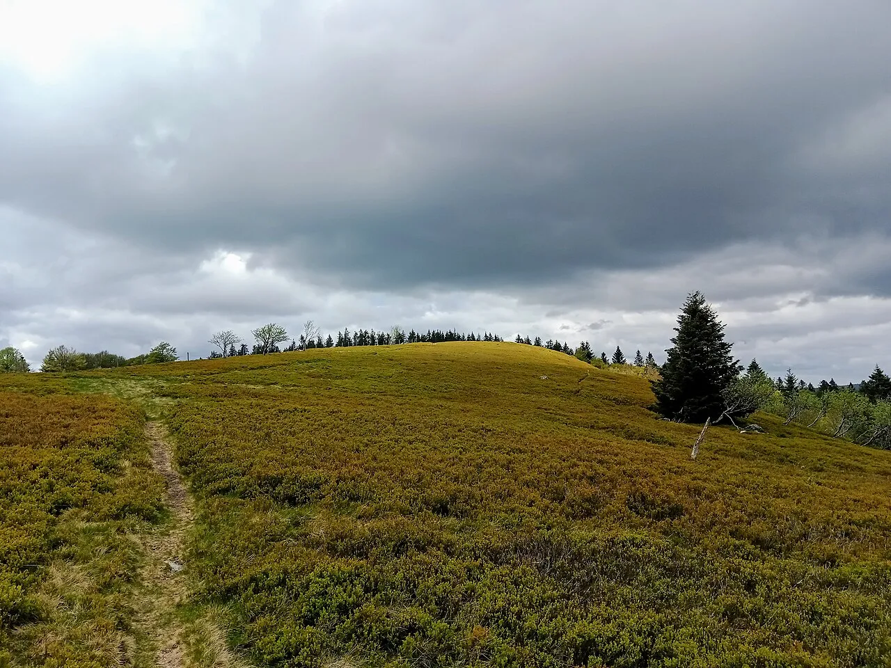
Le Grand Ventron Rémih · CC BY-SA 4.0 -
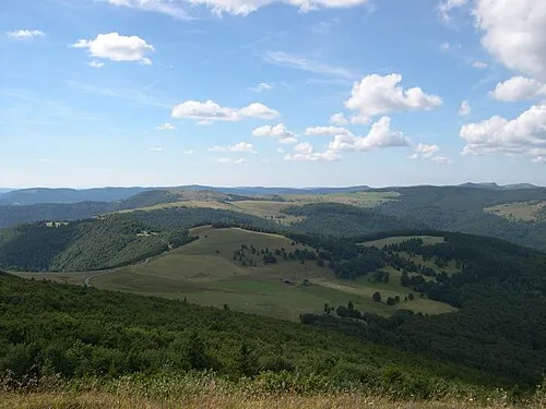
Le Hundskopf Serge Nueffer at French Wikipedia · Public domain -
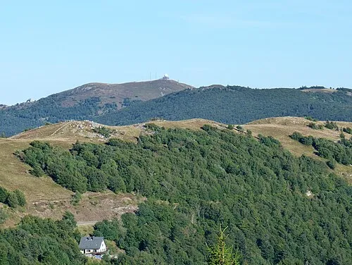
Le Marksteinkopf Florian Grossir · CC BY-SA 4.0 -
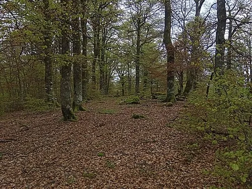
Ronde Tête Rémih · CC BY-SA 4.0 -
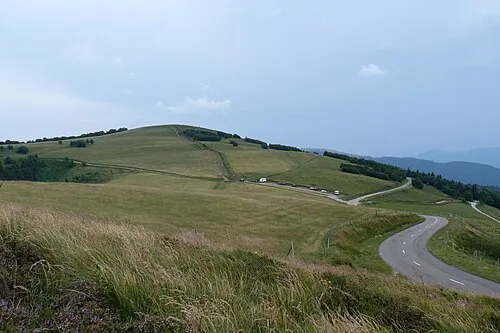
Le Schweisel Florian Grossir · CC BY-SA 4.0


Climate of Kruth
Best months for sightseeingBest months for sightseeing: July–August.
This month · November
A wet month
Day 8° · Night 2° · Rain 120 mm
- Hottest month
- July (day 22°)
- Coldest month
- January (night -1°)
- Wettest month
- December (131 mm)
- Driest month
- April (90 mm)
Bars: average monthly low and high temperature. Below: precipitation. Monthly averages for 1970–2000 at about 18 km resolution, adjusted for elevation. Highlighted months are mild and relatively dry. Source: WorldClim 2.1 (CC BY 4.0).
Show values as a table
| Month | Jan | Feb | Mar | Apr | May | Jun | Jul | Aug | Sep | Oct | Nov | Dec |
|---|---|---|---|---|---|---|---|---|---|---|---|---|
| Average high (°C) | 4° | 5° | 8° | 11° | 16° | 19° | 22° | 22° | 18° | 14° | 8° | 5° |
| Average low (°C) | -1° | -1° | 1° | 3° | 8° | 11° | 13° | 13° | 10° | 7° | 2° | 0° |
| Precipitation (mm) | 111 | 106 | 92 | 90 | 113 | 112 | 102 | 91 | 97 | 108 | 120 | 131 |
How to get to Kruth
The nearest airport is EuroAirport Basel–Mulhouse–Freiburg (BSL), 56 km to the southeast as the crow flies. The nearest large city is Mulhouse, 34 km to the southeast.
Airports
- EuroAirport Basel–Mulhouse–Freiburg (BSL) Bâle / Mulhouse 56 kmsoutheast
- Strasbourg Airport (SXB) Strasbourg 84 kmnortheast
- Bern Airport (BRN) Bern 120 kmsouth
Nearby large cities
- Mulhouse Population: 111.4K 34 kmsoutheast
- Basel Population: 177.6K 62 kmsoutheast
- Freiburg im Breisgau Population: 237.5K 67 kmeast
- Strasbourg Population: 274.8K 93 kmnortheast
- Nancy Population: 105.1K 102 kmnorthwest
Straight-line distances; road distances are longer. Airport data: OurAirports.
Day trips from Kruth
Within 100 km: 353 historic and cultural sites, 1,173 natural sites, 322 lakes, rivers and coasts.
0–25 km300 places
- lac des Truites - du Forlet Lake 21 kmNE
- Lac Noir Lake 23 kmNE
- Lac de Longemer Lake 16 kmN
- Lac de Gérardmer Lake 17 kmNW
25–60 km372 places
- Etangs Rougeat Lake 54 kmS
- Pisciculture Lake 52 kmS
- Etang du Milieu Lake 53 kmS
- Etangs Rougeat Lake 54 kmS
60–100 km1,176 places
- Sankt Petersinsel Island 96 kmS
- Lake Biel Lake 96 kmS
- Inkwilersee Lake 97 kmSE
- Burgaeschisee Lake 100 kmSE
Straight-line distances.
Places in Kruth
4 placesBar: population relative to the most populous place in this list.
Mountains & nature1
- Le Griebkopf · Mountain
Lakes, rivers & coasts1
- lac de Kruth-Wildenstein · Lake
Heritage & sights1
- Château du Wildenstein · Historic site
Nearby attractions & nature
Everything nearby-
Cascades Saint-Nicolas Natural site, Grand Est1.3 km SW
-
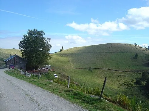 Felsachkopf Mountain, Fellering2.5 km W
-
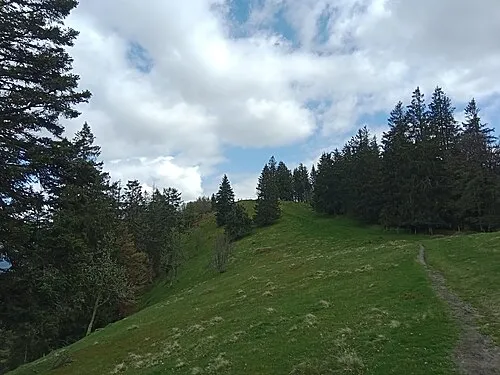 Haut de Felsach Mountain, Ventron2.9 km W
-
Baerenberg Mountain, Oderen2 km S
-
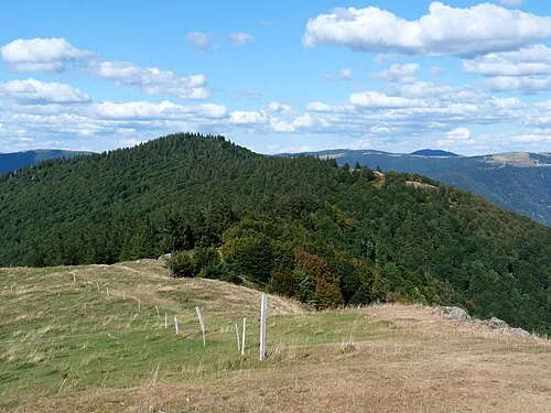 Tête de Fellering Mountain, Fellering3.5 km SW
-
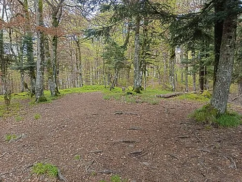 Tête du Chat Sauvage Mountain, Ventron3.7 km NW
Sources & licences
Data last updated: