Saint-Amarin
Located in Saint-Amarin, Arrondissement de Thann-Guebwiller Coordinates: 47°52′30″ N 7°01′46″ E
- Population
- 2,556
- 2.6K
- Elevation
- 414 m
- above sea level
- Local time
- UTC+01:00
- Europe/Paris · UTC+01:00
- Airports
- BSL EuroAirport Basel–Mulhouse–Freiburg48 km
- SXB Strasbourg Airport86 km
About Saint-Amarin
Saint-Amarin is a village. Location: Saint-Amarin, Arrondissement de Thann-Guebwiller. Population: 2,556. Elevation: 414 m. The best months to visit are July–August. The nearest airport is EuroAirport Basel–Mulhouse–Freiburg (48 km). Nearby sights include Château du Friedberg and Le Stockenberg.
Photos of Saint-Amarin
-
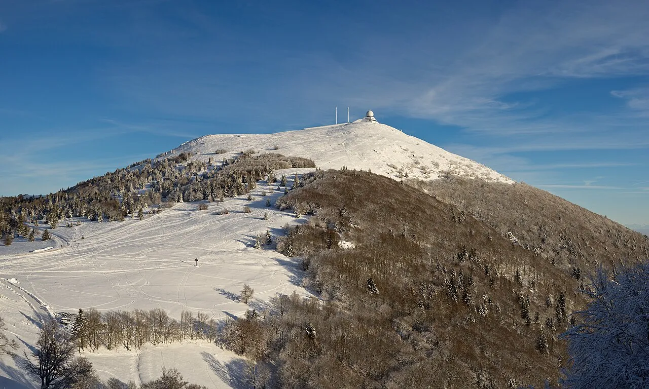
Grand Ballon Jörg Braukmann · CC BY-SA 4.0 -
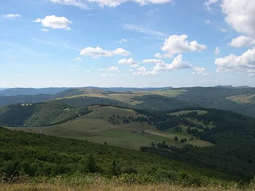
Le Hundskopf Serge Nueffer at French Wikipedia · Public domain -
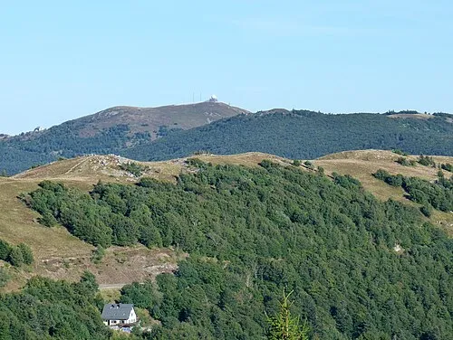
Le Marksteinkopf Florian Grossir · CC BY-SA 4.0 -
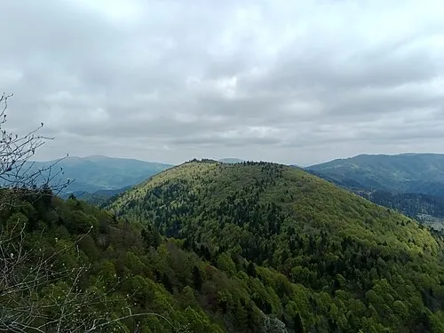
Rimbachkopf Rémih · CC BY-SA 4.0 -
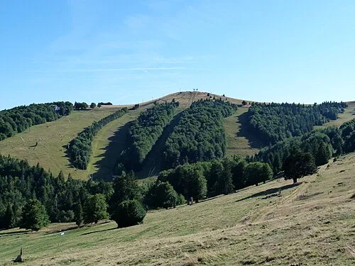
Le Jungfrauenkopf Florian Grossir · CC BY-SA 4.0


Climate of Saint-Amarin
Best months for sightseeingBest months for sightseeing: July–August.
This month · November
A wet month
Day 8° · Night 3° · Rain 117 mm
- Hottest month
- July (day 23°)
- Coldest month
- January (night 0°)
- Wettest month
- December (128 mm)
- Driest month
- April (91 mm)
Bars: average monthly low and high temperature. Below: precipitation. Monthly averages for 1970–2000 at about 18 km resolution, adjusted for elevation. Highlighted months are mild and relatively dry. Source: WorldClim 2.1 (CC BY 4.0).
Show values as a table
| Month | Jan | Feb | Mar | Apr | May | Jun | Jul | Aug | Sep | Oct | Nov | Dec |
|---|---|---|---|---|---|---|---|---|---|---|---|---|
| Average high (°C) | 5° | 6° | 9° | 12° | 17° | 20° | 23° | 23° | 19° | 14° | 8° | 6° |
| Average low (°C) | 0° | 0° | 2° | 4° | 8° | 11° | 14° | 14° | 11° | 7° | 3° | 1° |
| Precipitation (mm) | 107 | 103 | 92 | 91 | 113 | 114 | 104 | 92 | 96 | 107 | 117 | 128 |
How to get to Saint-Amarin
The nearest airport is EuroAirport Basel–Mulhouse–Freiburg (BSL), 48 km to the southeast as the crow flies. The nearest large city is Mulhouse, 26 km to the southeast.
Airports
- EuroAirport Basel–Mulhouse–Freiburg (BSL) Bâle / Mulhouse 48 kmsoutheast
- Strasbourg Airport (SXB) Strasbourg 86 kmnortheast
- Bern Airport (BRN) Bern 113 kmsouth
Nearby large cities
- Mulhouse Population: 111.4K 26 kmsoutheast
- Basel Population: 177.6K 54 kmsoutheast
- Freiburg im Breisgau Population: 237.5K 63 kmeast
- Strasbourg Population: 274.8K 95 kmnortheast
- Besançon Population: 128.4K 103 kmsouthwest
Straight-line distances; road distances are longer. Airport data: OurAirports.
Day trips from Saint-Amarin
Within 100 km: 369 historic and cultural sites, 1,207 natural sites, 337 lakes, rivers and coasts.
0–25 km287 places
- Lac de Longemer Lake 23 kmN
- Lac du Ballon Lake 6 kmNE
- Lac Vert Lake 24 kmN
- Lac de la Lauch Lake 7 kmN
25–60 km424 places
- Etangs Rougeat Lake 47 kmS
- Pisciculture Lake 45 kmS
- Rheinhafen Kleinhüningen Lake 53 kmSE
- Etang du Milieu Lake 46 kmS
60–100 km1,202 places
- Sankt Petersinsel Island 90 kmS
- Lake Biel Lake 89 kmS
- Inkwilersee Lake 89 kmSE
- Burgaeschisee Lake 92 kmSE
Straight-line distances.
Nearby attractions & nature
Everything nearby-
Château du Friedberg Historic site, Saint-Amarin0.3 km E
-
Le Stockenberg Mountain, Saint-Amarin1.3 km N
-
Château de Stoerenbourg Historic site, Husseren-Wesserling2 km W
-
Dengelberg Mountain, Fellering2.9 km NW
-
Vallée de la Thur Natural site, Grand Est2 km W
-
Parc de Wesserling Natural site, Grand Est2.5 km NW
Sources & licences
Data last updated: