Le Rondfaing
Located in Rochesson, Arrondissement of Épinal Coordinates: 47°59′50″ N 6°49′25″ E
- Elevation
- 1,081 m
- above sea level
- Local time
- UTC+01:00
- Europe/Paris · UTC+01:00
- Airports
- BSL EuroAirport Basel–Mulhouse–Freiburg68 km
- SXB Strasbourg Airport85 km
About Le Rondfaing
Le Rondfaing is a mountain. Location: Rochesson, Arrondissement of Épinal. Elevation: 1,081 m. The best months to visit are July–August. The nearest airport is EuroAirport Basel–Mulhouse–Freiburg (68 km). Nearby sights include Le Pechin and Butte de Cutin.
Photos of Le Rondfaing
-
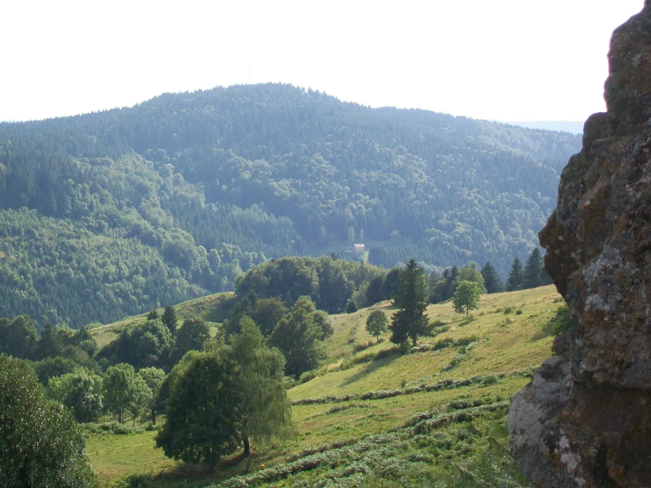
Haut du Roc Scynos · CC BY-SA 3.0 -
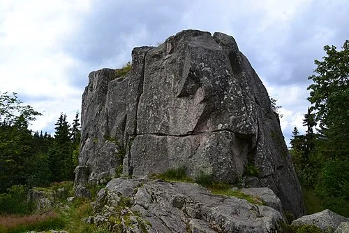
Le Moutier des Fées Sapin88 · CC BY-SA 4.0 -
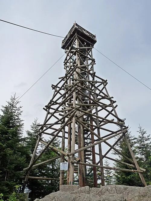
Tête de Mérelle Ji-Elle · CC BY-SA 3.0


Climate of Le Rondfaing
Best months for sightseeingBest months for sightseeing: July–August.
This month · November
A wet month
Day 4° · Night -2° · Rain 112 mm
- Hottest month
- July (day 19°)
- Coldest month
- January (night -6°)
- Wettest month
- December (122 mm)
- Driest month
- April (82 mm)
Bars: average monthly low and high temperature. Below: precipitation. Monthly averages for 1970–2000 at about 18 km resolution, adjusted for elevation. Highlighted months are mild and relatively dry. Source: WorldClim 2.1 (CC BY 4.0).
Show values as a table
| Month | Jan | Feb | Mar | Apr | May | Jun | Jul | Aug | Sep | Oct | Nov | Dec |
|---|---|---|---|---|---|---|---|---|---|---|---|---|
| Average high (°C) | 0° | 1° | 5° | 8° | 13° | 16° | 19° | 19° | 15° | 10° | 4° | 1° |
| Average low (°C) | -6° | -6° | -3° | -1° | 4° | 7° | 9° | 9° | 6° | 2° | -2° | -4° |
| Precipitation (mm) | 104 | 98 | 85 | 82 | 105 | 104 | 93 | 82 | 93 | 100 | 112 | 122 |
How to get to Le Rondfaing
The nearest airport is EuroAirport Basel–Mulhouse–Freiburg (BSL), 68 km to the southeast as the crow flies. The nearest large city is Mulhouse, 47 km to the southeast.
Airports
- EuroAirport Basel–Mulhouse–Freiburg (BSL) Bâle / Mulhouse 68 kmsoutheast
- Strasbourg Airport (SXB) Strasbourg 85 kmnortheast
- Metz-Nancy-Lorraine Airport (ETZ) Goin 117 kmnorth
Nearby large cities
- Mulhouse Population: 111.4K 47 kmsoutheast
- Basel Population: 177.6K 74 kmsoutheast
- Freiburg im Breisgau Population: 237.5K 77 kmeast
- Nancy Population: 105.1K 90 kmnorthwest
- Strasbourg Population: 274.8K 95 kmnortheast
Straight-line distances; road distances are longer. Airport data: OurAirports.
Day trips from Le Rondfaing
Within 100 km: 346 historic and cultural sites, 1,027 natural sites, 275 lakes, rivers and coasts.
0–25 km213 places
- lac des Truites - du Forlet Lake 22 kmNE
- Lac Noir Lake 24 kmNE
- Lac de Longemer Lake 13 kmNE
- Lac de Gérardmer Lake 8 kmN
25–60 km399 places
- Sulzbach River 58 kmE
- Möhlin River 59 kmE
- Krebsbach River 59 kmE
- Klemmbach River 59 kmE
60–100 km1,036 places
- Etang de la Gruère Lake 86 kmS
- Etangs Rougeat Lake 65 kmSE
- Basler Weiher Lake 89 kmSE
- Pisciculture Lake 62 kmS
Straight-line distances.
Nearest towns and villages
Nearby attractions & nature
Everything nearby-
Le Pechin Mountain, Saulxures-sur-Moselotte2 km SW
-
Butte de Cutin Mountain, Rochesson2.3 km NW
-
Tête du Saut Mountain, Saulxures-sur-Moselotte2.6 km SW
-
Sarimont Mountain, Saulxures-sur-Moselotte3.2 km SW
-
Haut du Roc Mountain, Basse-sur-le-Rupt4.1 km SW
-
Tête de Zefeut Mountain, Saulxures-sur-Moselotte3.4 km S
-
Le Brabant Mountain, La Bresse3.3 km SE
-
Le Moutier des Fées Mountain, Rochesson4.6 km NE
Sources & licences
Data last updated: · 2 independent sources