Arrondissement of Dunkirk
Located in North, Hauts-de-France Coordinates: 50°50′43″ N 2°28′30″ E
- Population
- 371,940
- 371.9K
- Elevation
- 22 m
- above sea level
- Local time
- UTC+01:00
- Europe/Paris · UTC+01:00
- Places inside
- 111
- listed under Arrondissement of Dunkirk
- Airports
- OST Ostend-Bruges International Airport48 km
- LIL Lille Airport54 km
About Arrondissement of Dunkirk
Arrondissement of Dunkirk is a municipality. Location: North, Hauts-de-France. Population: 371,940. Elevation: 22 m. The best months to visit are July–September. The nearest airport is Ostend-Bruges International Airport (48 km). Nearby sights include Peene Becque and Heidebeek.
Photos of Arrondissement of Dunkirk
-
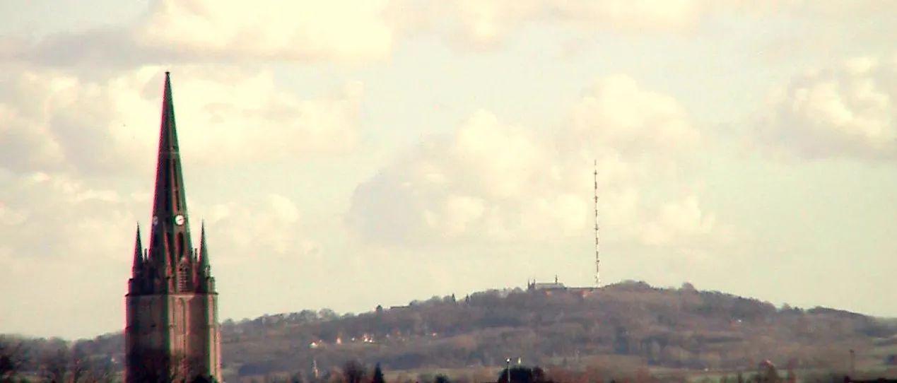
Mont des Cats Lion59 · CC BY-SA 3.0 -
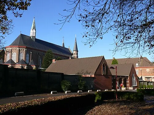
Abbaye du Mont des Cats This illustration was made by Peter Potrowl . Please credit this with : © Peter Potrowl in the immediate vicinity of the · CC BY-SA 3.0


Climate of Arrondissement of Dunkirk
Best months for sightseeingBest months for sightseeing: July–September.
This month · November
A cold month
Day 10° · Night 5° · Rain 74 mm
- Hottest month
- August (day 21°)
- Coldest month
- February (night 1°)
- Wettest month
- November (74 mm)
- Driest month
- February (42 mm)
Bars: average monthly low and high temperature. Below: precipitation. Monthly averages for 1970–2000 at about 18 km resolution, adjusted for elevation. Highlighted months are mild and relatively dry. Source: WorldClim 2.1 (CC BY 4.0).
Show values as a table
| Month | Jan | Feb | Mar | Apr | May | Jun | Jul | Aug | Sep | Oct | Nov | Dec |
|---|---|---|---|---|---|---|---|---|---|---|---|---|
| Average high (°C) | 6° | 7° | 10° | 12° | 16° | 18° | 21° | 21° | 19° | 15° | 10° | 7° |
| Average low (°C) | 2° | 1° | 3° | 5° | 8° | 11° | 13° | 13° | 11° | 8° | 5° | 3° |
| Precipitation (mm) | 56 | 42 | 50 | 47 | 49 | 56 | 55 | 52 | 68 | 69 | 74 | 64 |
How to get to Arrondissement of Dunkirk
The nearest airport is Ostend-Bruges International Airport (OST), 48 km to the northeast as the crow flies. The nearest large city is Lille, 47 km to the southeast.
Airports
- Ostend-Bruges International Airport (OST) Oostende 48 kmnortheast
- Lille Airport (LIL) Lesquin 54 kmsoutheast
- Brussels Airport (BRU) Zaventem 142 kmeast
Nearby large cities
- Lille Population: 238.7K 47 kmsoutheast
- Bruges Population: 118.5K 66 kmnortheast
- Ghent Population: 265.1K 90 kmeast
- Saint Peters Population: 125.4K 94 kmnorthwest
- Amiens Population: 143.1K 106 kmsouth
Straight-line distances; road distances are longer. Airport data: OurAirports.
Day trips from Arrondissement of Dunkirk
Within 100 km: 173 historic and cultural sites, 177 natural sites, 363 lakes, rivers and coasts.
0–25 km55 places
- Rode Berg Mountain 21 kmE
- Winterbeek River 16 kmE
- Warandebeek River 10 kmE
- Wanebeek River 25 kmE
25–60 km232 places
- Klein Strand Oostende Beach 54 kmNE
- Blankaart Lake 31 kmNE
- Kemmelberg Mountain 25 kmE
- Wijnendaelebos Natural site 47 kmNE
60–100 km426 places
- Plage Saint-Gabriel Beach 70 kmSW
- Plage de Fort-Mahon Beach 87 kmSW
- Knokke-Strand Beach 80 kmNE
- Sunny Sands Beach 94 kmW
Straight-line distances.
Arrondissement of Dunkirk and similar cities
Side by side with cities of similar size in the same country: population, elevation and climate.
| Measure | Arrondissement of Dunkirk | Nice | Nantes | Marne La Vallée |
|---|---|---|---|---|
| Population | 371.9K | 342.7K | 325.1K | 318.3K |
| Elevation | 22 m | 25 m | 19 m | 96 m |
| Summer day (hottest month) | 21° | 28° | 25° | 24° |
| Winter night (coldest month) | 1° | 5° | 3° | 1° |
| Annual rainfall | 682 mm | 807 mm | 794 mm | 635 mm |
| Best months | Jul–Sep | May–Sep | Jun–Sep | Jun–Sep |
| Distance | — | 872 km | 499 km | 224 km |
Climate values are 1970–2000 monthly averages; straight-line distance.
Places in Arrondissement of Dunkirk
111 places- 61 Merris 1K
- 62 Houtkerque 1K
- 63 Saint-Pierre-Brouck 993
- 64 Flêtre 974
- 65 Hondeghem 970
- 66 Bavinchove 960
- 67 Pitgam 958
- 68 Nieurlet 951
- 69 Strazeele 951
- 70 Rubrouck 944
- 71 Socx 934
- 72 Thiennes 910
- 73 Holque 899
- 74 Sainte-Marie-Cappel 878
- 75 Wallon-Cappel 825
- 76 Millam 809
- 77 Noordpeene 789
- 78 Lynde 750
- 79 Boëseghem 747
- 80 Bambecque 741
- 81 Craywick 711
- 82 Oudezeele 685
- 83 Ebblinghem 681
- 84 Crochte 669
- 85 Lederzeele 667
- 86 Staple 665
- 87 Ledringhem 664
- 88 West-Cappel 606
- 89 Borre 603
- 90 Merckeghem 586
- 91 Buysscheure 580
- 92 Volckerinckhove 577
- 93 Berthen 551
- 94 Terdeghem 548
- 95 Oxelaëre 528
- 96 Zuytpeene 526
- 97 Saint-Momelin 480
- 98 Eringhem 473
- 99 Oost-Cappel 471
- 100 Sercus 450
- 101 Broxeele 385
- 102 Pradelles 385
- 103 Hardifort 383
- 104 Ochtezeele 383
- 105 Wulverdinghe 310
- 106 Saint-Georges-sur-l'Aa 309
- 107 Wylder 295
- 108 Wemaers-Cappel 252
- 109 Drincham 250
- 110 Bissezeele 243
- 111 Zermezeele 211
Bar: population relative to the most populous place in this list.
Nearby attractions & nature
Everything nearby-
Peene Becque River, North6.2 km N
-
Heidebeek River, North11 km NE
-
Monnaartbeek River, West Flanders Province9.1 km E
-
Warandebeek River, West Flanders Province9.6 km E
-
Proven Concentration Camp (SS-Baubrigade I) Historic site, Poperinge14 km E
-
Steenvoordebeek River, Belgium9.9 km E
-
Île Jeanty Island, North22 km N
-
Plokhaanbeek River, West Flanders Province11 km E
Sources & licences
Data last updated: