- Population
- 5,998,916
- 6M
- Elevation
- 89 m
- above sea level
- Local time
- UTC+01:00
- Europe/Paris · UTC+01:00
- Places inside
- 80
- listed under Hauts-de-France
- Airports
- BVA Beauvais-Tillé airport43 km
- CDG Charles de Gaulle International Airport68 km
About Hauts-de-France
Hauts-de-France is a region. Location: France. Population: 5,998,916.
Hauts-de-France (French: [o d(ə) fʁɑ̃s] ; Picard: Heuts d'Franche; lit. 'Heights of France'), also referred to in English as Upper France, is the northernmost region of France, created by the territorial reform of French regions in 2014, from a merger of Nord-Pas-de-Calais and Picardy. Its prefecture is Lille. The new region came into existence on 1 January 2016, after regional elections in December 2015.
Source: Wikipedia · CC BY-SA 4.0
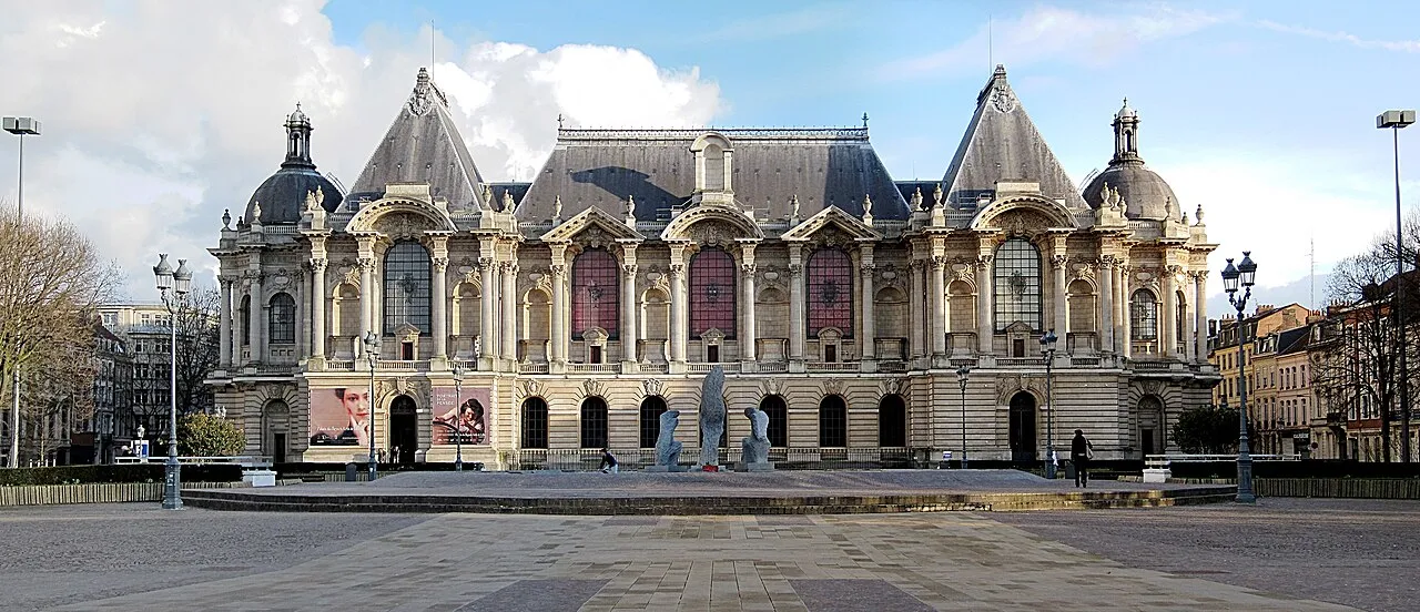
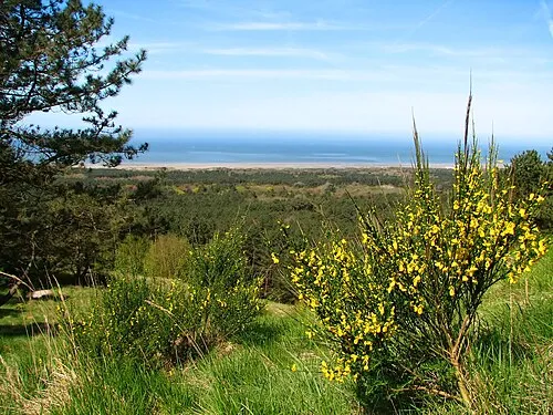
Photos of Hauts-de-France
-

Transalley · CC BY-SA 4.0 -

Usquequo2 · CC BY-SA 4.0


Travel notes for Hauts-de-France
From Wikivoyage
Hauts-de-France (Upper France) (Picard: Heuts-d'Franche) is the northernmost region of France, located to the north of the French capital Paris and situated on the English Channel at the point closest to England. The region also fronts much of the French border with Belgium. The area is sadly known for its central part in the trench warfare of the First World War (1914-1918), perhaps most notoriously the Battle of the Somme, which lasted four and a half months during which more than one million men and women lost their lives. Unsurprisingly, Hauts-de-France hosts a large number of battlefields, war cemeteries and memorials. Less well-known, but still worth your time are the region's many belfries and Gothic churches, and the remnants of France's industrial heartland. Hauts-de-France was created in 2016 by merging Nord-Pas-de-Calais and Picardy.
Understand+
Destroyed in parts by both world wars, once home to one of Europe's most extensive industrial sectors, and cold by French standards, this is not a major tourist region, at least on paper. Indeed, many who don't know any better view the region as simply an expanse of nothingness to cross on the way to somewhere else. However, those who stop to look closer may find beautiful countryside, fine local foods and beers, and many historical landmarks. War history buffs in particular will be in heaven.
Because of its position between Paris, the Low Countries, and the English Channel, this region has often been the setting for invasions and battles. The two world wars ripped through, leaving a legacy of memorials and mass graves. Notable are the battle-scarred fields of the Somme where French, British, Canadian, Australian, and African soldiers fought the Germans in World War I, and the camp in Compiègne where, during World War II, prisoners were kept while waiting for "transportation to the east".
The current region of Hauts-de-France was created in 2016 after administrative reorganisation grouped Nord-Pas de Calais and Picardy. The latter had been a province dating back to the Middle Ages, and its removal from the map has caused some controversy, with the slogan Touche pas à ma Picardie ! (Hands off my Picardy!) becoming current. The name Hauts-de-France means "heights of France", which refer to the region's northern (high) position on the map, rather than physical height. In fact, this is one of the flattest and most low-lying regions of Europe, an irony not unnoticed by the French press, which has roundly mocked the choice of name.
Tourist information:
Hauts-de-France Tourism website
Get in+
By train:
On the Paris-Brussels/London high-speed rail corridor, the region is highly accessible by train.
From London St Pancras, most Brussels-bound Eurostar trains stop at Lille Gare de l'Europe (1 hr 20 min from London) and some also stop at Calais Fréthun (1 hr 2 min).
Travellers coming from Paris Gare du Nord have a choice between the high-speed TGV, stopping at Gare TGV Haute-Picardie (between Amiens and Saint-Quentin), Arras and Lille (Gare de Flandres), and the slower Intercités service, which is more useful for the western and coastal parts of the region.
From Belgium, how quickly you get to the region depends on where you come from. From Brussels, there are plenty of TGV trains going to France, all of which stop at Lille-Europe. If coming from places in western Belgium like Ghent, Tournai, or Kortrijk, there are hourly regional trains to Lille-Flandres.
Don't go to Haute-Picardie without assured onward transport; its isolated location has inspired the nickname gare des betteraves ("beetroot station").
By car:
Driving from Paris is straightforward; take the A1 and your wallet, and expect to fork out at least €25 for the toll. Motorists from Belgium have it even easier, with physical proximity and the Schengen Agreement both playing their part. Drivers from Britain can load their cars onto a Eurotunnel train in Folkestone, and drive off in Calais 35 minutes later. Alternatively, there are ferry crossings (see below). The A26 is the famous Autoroute des Anglais, which conveys traffic from the ferries and tunnel south into France and the rest of Europe.
For more detail on the region's autoroute system, see Get around below.
By boat:
Calais is connected to Dover in England by car and passenger ferry services operated by P&O Ferries and DFDS Seaways. DFDS also operate ferries between Dover and Dunkirk. The crossings take a relaxed 1 hr 30 min, and you get to enjoy a view of Britain, France and Belgium all at the same time.
By plane:
Source: Wikivoyage · CC BY-SA 4.0 · abridged
Places bordering Hauts-de-France
- Normandy
- Île-de-France Region
- Grand Est
- Wallonia
- Flemish Region
Population of Hauts-de-France over time
| 2014 | 6,006,156 | |
|---|---|---|
| 2015 | 6,009,976 | |
| 2017 | 6,003,815 | |
| 2018 | 6,004,108 | |
| 2019 | 6,004,947 | |
| 2020 | 5,997,734 | |
| 2021 | 5,995,292 | |
| 2022 | 5,998,916 | |
| 2023 | 5,992,194 |
Censuses and official estimates; source: Wikidata.
Climate of Hauts-de-France
Best months for sightseeingBest months for sightseeing: June–September.
This month · November
A cold month
Day 9° · Night 3° · Rain 57 mm
- Hottest month
- August (day 24°)
- Coldest month
- February (night 1°)
- Wettest month
- December (63 mm)
- Driest month
- February (46 mm)
Bars: average monthly low and high temperature. Below: precipitation. Monthly averages for 1970–2000 at about 18 km resolution, adjusted for elevation. Highlighted months are mild and relatively dry. Source: WorldClim 2.1 (CC BY 4.0).
Show values as a table
| Month | Jan | Feb | Mar | Apr | May | Jun | Jul | Aug | Sep | Oct | Nov | Dec |
|---|---|---|---|---|---|---|---|---|---|---|---|---|
| Average high (°C) | 6° | 7° | 10° | 13° | 18° | 20° | 23° | 24° | 20° | 15° | 9° | 7° |
| Average low (°C) | 1° | 1° | 3° | 4° | 8° | 11° | 13° | 12° | 10° | 7° | 3° | 2° |
| Precipitation (mm) | 54 | 46 | 50 | 47 | 58 | 61 | 55 | 49 | 59 | 60 | 57 | 63 |
Other places to visit in this season: June July August September
How to get to Hauts-de-France
The nearest airport is Beauvais-Tillé airport (BVA), 43 km to the southwest as the crow flies. The nearest large city is Amiens, 41 km to the northwest.
Airports
- Beauvais-Tillé airport (BVA) Beauvais 43 kmsouthwest
- Charles de Gaulle International Airport (CDG) Paris (Roissy-en-France, Val-d'Oise) 68 kmsouth
- Paris-Orly Airport (ORY) Paris (Orly, Val-de-Marne) 101 kmsouth
Nearby large cities
- Amiens Population: 143.1K 41 kmnorthwest
- Cergy-Pontoise Population: 183.4K 76 kmsouthwest
- Argenteuil Population: 101.5K 80 kmsouth
- Paris 18 Buttes-Montmartre Population: 183.1K 83 kmsouth
- Paris 19 Buttes-Chaumont Population: 178.7K 84 kmsouth
Straight-line distances; road distances are longer. Airport data: OurAirports.
Places in Hauts-de-France
80 placesMountains & nature2
- Monplaisir · Natural site
- Pic d'Olan · Mountain
Lakes, rivers & coasts15
- Loisne · River
- Lys · River
- Maye · River
- Nave · River
- Plage d'Écault · Beach
- Plage de Petit-Fort-Philippe · Beach
- Plage d'Equihen · Beach
- Rivière d'Oye · River
- Ruisseau Bras de Brosne · River
- Ruisseau de Blacourt · River
- Ruisseau de la Fontaine du Bourreau · River
- Ruisseau le Crembreux · River
- Ruisseau Saint-Martin · River
- Souchez · River
- Ternoise · River
Heritage & sights3
- Monastere Saint-Jean l'évangeliste · Attraction
- NAVO-Toren · Landmark
- Phare du Hourdel · Landmark
Largest cities and towns
-
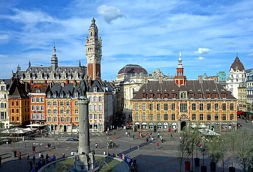 Lille City, Lille municipality238.7K
-
Arrondissement of Lille Municipality, North1.3M
-
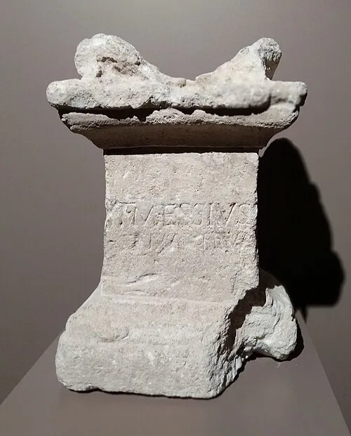 Amiens City, Amiens143.1K
-
Arrondissement of Dunkirk Municipality, North371.9K
-
Arrondissement of Lens Municipality, Pas-de-Calais368.7K
-
Arrondissement of Valenciennes Municipality, North350.2K
-
Arrondissement of Senlis Municipality, Oise287.2K
-
Arrondissement of Douai Municipality, North245K
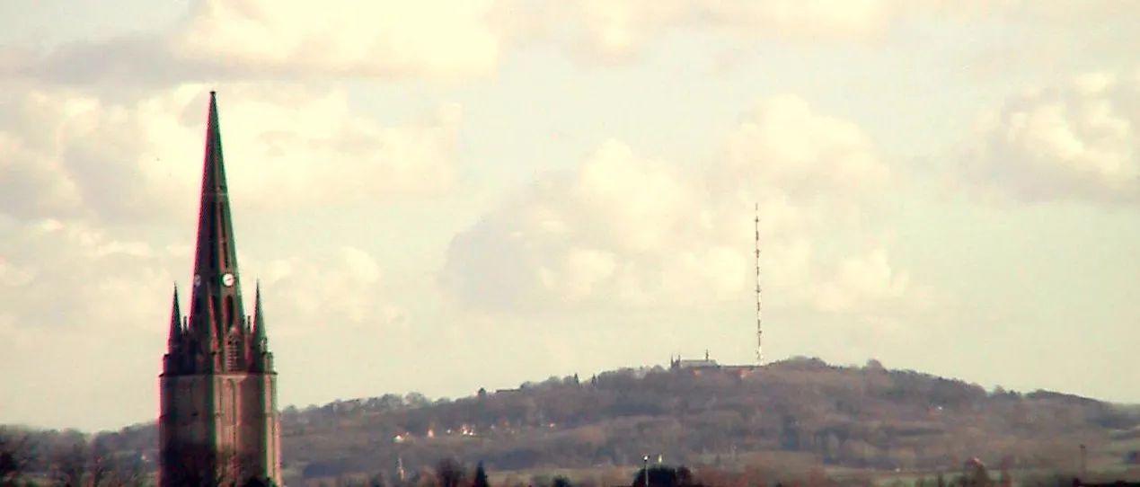
Nature and heritage in Hauts-de-France
Other regions in France
-
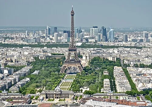 Île-de-France Region Region, France102 km S
-
Somme District, Hauts-de-France45 km NW
-
Oise District, Hauts-de-France17 km SW
-
Aisne District, Hauts-de-France62 km E
-
Seine-Saint-Denis District, Île-de-France Region79 km S
-
Paris Department District, Île-de-France Region87 km S
Sources & licences
Data last updated: · 2 independent sources