New Aquitaine
Local name: Nouvelle-Aquitaine
Located in France Coordinates: 46°05′30″ N 1°16′08″ E
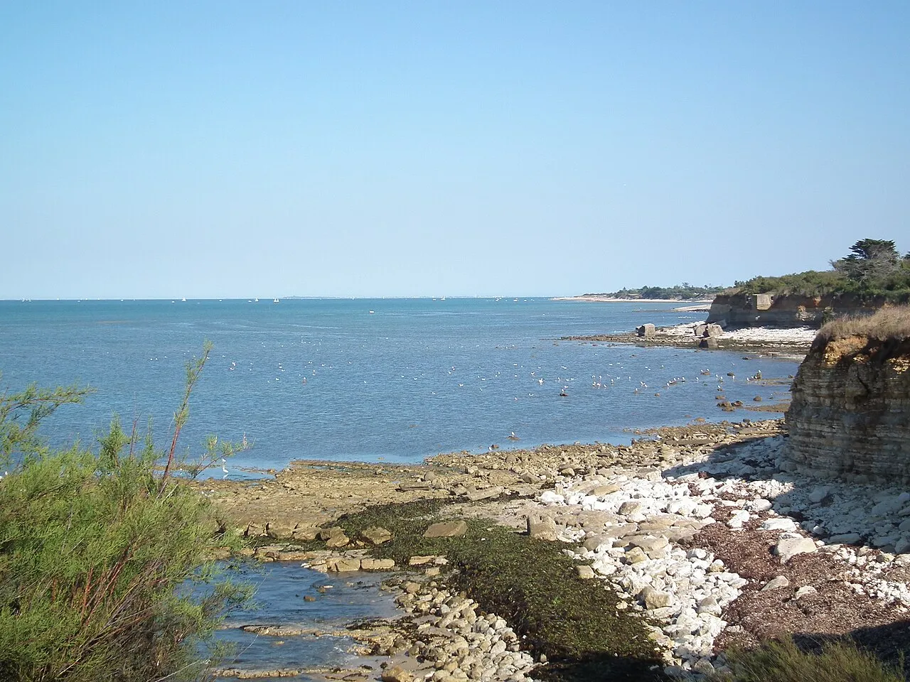
- Population
- 6,113,384
- 6.1M
- Elevation
- 364 m
- above sea level
- Local time
- UTC+01:00
- Europe/Paris · UTC+01:00
- Places inside
- 268
- listed under New Aquitaine
About New Aquitaine
New Aquitaine is a region. Location: France. Population: 6,113,384.
Nouvelle-Aquitaine (French pronunciation: [nuvɛl akitɛn] ) is the largest administrative region in France by area, located in the west and southwest of Metropolitan France. It was created in 2014 from the merger of Aquitaine, Limousin, and Poitou-Charentes in a territorial reform. The region covers 84,035.7 km2 (32,446.4 sq mi), representing more than 1⁄7 of Metropolitan France, and had a population of 6,033,952 in 2020.
Read more on Wikipedia Text: Wikipedia contributors · CC BY-SA 4.0 · shortened
At a glance
- Built
- 2016
- Area
- 84,061 km²
Source: Wikidata
In comparison
- 4 sights and natural places within 10 km Étang de Sagnat, Couze
- Listed here: Village: 197, River: 26, District: 12, Natural site: 12
Places in New Aquitaine
268 places-
Chez Verdois Village
-
Courant de Mimizan River
-
Courant de Soustons River
-
Courant d'Huchet River
-
Courgeon Village
-
Coursac Village
-
Cram Village
-
Dartus Village
-
Dordogne River
-
Estey d'Un River
-
Fier d'Ars Natural site
-
Fongauffier Village
-
Fongrave Village
-
Forêt de Brigueuil Natural site
-
Forêt des Landes de Gascogne Natural site
-
Forêt de Suzac Natural site
-
Fort Boyard Historic site
-
Fort d'Énette Historic site
-
Fort de Piédemont Historic site
-
Fort du Chapus Historic site
-
Fourtic Village
-
Fraisse Village
-
Garnaud Petit Village
-
Garonne River
-
Gironde River
-
Grand Chevreau Village
-
Grande Jalle des Marais River
-
Grand Nieulle Village
-
Grand Sable Village
-
Guillot Village
-
Haut Trigonant Village
-
Huric Village
-
Île aux Oiseaux Island
-
Île d'Aix Island
-
Île de Macau Island
-
Île de Nole Island
-
Île Madame Island
-
Irazabalea Village
-
La Baroderie Village
-
La Bourelière Village
-
La Brande Village
-
La Caserne Village
-
Lacassore Village
-
Lac de Fabrèges Lake
-
Lac de Saint-Pardoux Lake
-
Lac de Vassivière Lake
-
La Chapelle Village
-
La Chapelotte Village
-
Lachaud Village
-
La Cigogne Village
-
La Crignolée Village
-
La Croix Village
-
La Croix Village
-
La Croix Village
-
La Croix Bardon Village
-
La Croix Jarry Village
-
Lacroutz Village
-
La Ganne Village
-
La Grattade Village
Largest cities and towns
-
Arrondissement of Bordeaux Municipality, Gironde1M
-
Arrondissement of Pau Municipality, Pyrénées-Atlantiques314.4K
-
Arrondissement of Bayonne Municipality, Pyrénées-Atlantiques313.2K
-
Arrondissement of Poitiers Municipality, Vienne265.9K
-
Bordeaux Village, Arrondissement of Bordeaux265.3K
-
Arrondissement of Rochefort Municipality, Charente-Maritime196.4K
-
Arrondissement of Limoges Municipality, Haute-Vienne296.8K
-
Arrondissement d'Arcachon Municipality, Gironde165K
Nature and heritage in New Aquitaine
-
Oléron Island, Charente-Maritime21.8K
-
Île de Ré Island, Arrondissement of La Rochelle18.1K
-
Plage des Nonnes Beach, Meschers-sur-Gironde
-
Barzan-Plage Beach, Barzan
-
Plage des Vergnes Beach, Meschers-sur-Gironde
-
Plage de l'Arnèche Beach, Meschers-sur-Gironde
Sources & licences
Data last updated: · 2 independent sources