La Ville
Located in La Lande-Patry, Arrondissement d'Argentan Coordinates: 48°45′59″ N 0°35′42″ W
- Elevation
- 192 m
- above sea level
- Local time
- UTC+01:00
- Europe/Paris · UTC+01:00
- Airports
- CFR Caen Carpiquet airport47 km
- DOL Deauville Normandie airport86 km
About La Ville
La Ville is a village. Location: La Lande-Patry, Arrondissement d'Argentan. Elevation: 192 m. The best months to visit are June–August. The nearest airport is Caen Carpiquet airport (47 km). Nearby sights include Forêt de Halouze and Mont Pinçon.
Climate of La Ville
Best months for sightseeingBest months for sightseeing: June–August.
This month · November
A cold month
Day 11° · Night 4° · Rain 87 mm
- Hottest month
- August (day 22°)
- Coldest month
- February (night 2°)
- Wettest month
- December (89 mm)
- Driest month
- August (47 mm)
Bars: average monthly low and high temperature. Below: precipitation. Monthly averages for 1970–2000 at about 18 km resolution, adjusted for elevation. Highlighted months are mild and relatively dry. Source: WorldClim 2.1 (CC BY 4.0).
Show values as a table
| Month | Jan | Feb | Mar | Apr | May | Jun | Jul | Aug | Sep | Oct | Nov | Dec |
|---|---|---|---|---|---|---|---|---|---|---|---|---|
| Average high (°C) | 7° | 8° | 11° | 13° | 17° | 20° | 22° | 22° | 19° | 15° | 11° | 8° |
| Average low (°C) | 2° | 2° | 3° | 4° | 8° | 10° | 13° | 13° | 10° | 8° | 4° | 3° |
| Precipitation (mm) | 84 | 71 | 65 | 60 | 68 | 55 | 50 | 47 | 70 | 81 | 87 | 89 |
How to get to La Ville
The nearest airport is Caen Carpiquet airport (CFR), 47 km to the north as the crow flies. The nearest large city is Caen, 50 km to the north.
Airports
- Caen Carpiquet airport (CFR) Caen 47 kmnorth
- Deauville Normandie airport (DOL) Deauville 86 kmnortheast
- Rennes-Saint-Jacques Airport (RNS) Saint-Jacques-de-la-Lande, Ille-et-Vilaine 115 kmsouthwest
Nearby large cities
- Caen Population: 110.6K 50 kmnorth
- Le Havre Population: 186K 96 kmnortheast
- Le Mans Population: 144.5K 104 kmsoutheast
- Rennes Population: 227.8K 108 kmsouthwest
- Angers Population: 168.3K 144 kmsouth
Straight-line distances; road distances are longer. Airport data: OurAirports.
Day trips from La Ville
Within 100 km: 193 historic and cultural sites, 113 natural sites, 157 lakes, rivers and coasts.
0–25 km22 places
- Mont d'Ancre Mountain 24 kmN
- Bois de Saint-Clair Natural site 24 kmNE
- Forêt de Lande-Pourrie Natural site 21 kmSW
- Forêt de Halouze Natural site 8 kmS
25–60 km169 places
- Mont du Saule Mountain 48 kmS
- Mont Margantin Mountain 26 kmS
- Butte Chaumont Mountain 53 kmSE
- Bois de Soulles Natural site 52 kmNW
60–100 km272 places
- Dive River 93 kmSE
- Gold Beach Beach 63 kmN
- Juno Beach Beach 64 kmN
- Sword Beach Beach 64 kmN
Straight-line distances.
Nearby attractions & nature
Everything nearby-
Forêt de Halouze Natural site, Orne8 km S
-
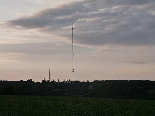 Mont Pinçon Mountain, Les Monts d'Aunay23 km N
-
Vère River, Orne11 km NE
-
Druance River, Orne12 km N
-
Château Ganne Historic site, La Pommeraye20 km NE
-
Halouze River, Orne13 km S
Sources & licences
Data last updated: