La Folie
Located in Tinchebray-Bocage, Arrondissement d'Argentan Coordinates: 48°45′50″ N 0°41′35″ W
- Elevation
- 254 m
- above sea level
- Local time
- UTC+01:00
- Europe/Paris · UTC+01:00
- Airports
- CFR Caen Carpiquet airport49 km
- DOL Deauville Normandie airport91 km
About La Folie
La Folie is a village. Location: Tinchebray-Bocage, Arrondissement d'Argentan. Elevation: 254 m. The best months to visit are June–August. The nearest airport is Caen Carpiquet airport (49 km). Nearby sights include Mont Pinçon and Forêt de Halouze.
Climate of La Folie
Best months for sightseeingBest months for sightseeing: June–August.
This month · November
A cold month
Day 10° · Night 4° · Rain 92 mm
- Hottest month
- August (day 22°)
- Coldest month
- February (night 1°)
- Wettest month
- November (92 mm)
- Driest month
- August (49 mm)
Bars: average monthly low and high temperature. Below: precipitation. Monthly averages for 1970–2000 at about 18 km resolution, adjusted for elevation. Highlighted months are mild and relatively dry. Source: WorldClim 2.1 (CC BY 4.0).
Show values as a table
| Month | Jan | Feb | Mar | Apr | May | Jun | Jul | Aug | Sep | Oct | Nov | Dec |
|---|---|---|---|---|---|---|---|---|---|---|---|---|
| Average high (°C) | 7° | 8° | 10° | 12° | 16° | 19° | 22° | 22° | 19° | 15° | 10° | 8° |
| Average low (°C) | 2° | 1° | 3° | 4° | 7° | 10° | 12° | 12° | 10° | 7° | 4° | 2° |
| Precipitation (mm) | 87 | 73 | 67 | 61 | 70 | 55 | 51 | 49 | 71 | 85 | 92 | 92 |
How to get to La Folie
The nearest airport is Caen Carpiquet airport (CFR), 49 km to the north as the crow flies. The nearest large city is Caen, 53 km to the northeast.
Airports
- Caen Carpiquet airport (CFR) Caen 49 kmnorth
- Deauville Normandie airport (DOL) Deauville 91 kmnortheast
- Rennes-Saint-Jacques Airport (RNS) Saint-Jacques-de-la-Lande, Ille-et-Vilaine 109 kmsouthwest
Nearby large cities
- Caen Population: 110.6K 53 kmnortheast
- Le Havre Population: 186K 100 kmnortheast
- Rennes Population: 227.8K 103 kmsouthwest
- Le Mans Population: 144.5K 108 kmsoutheast
- Angers Population: 168.3K 144 kmsouth
Straight-line distances; road distances are longer. Airport data: OurAirports.
Day trips from La Folie
Within 100 km: 205 historic and cultural sites, 113 natural sites, 163 lakes, rivers and coasts.
0–25 km22 places
- Forêt de Mortain Natural site 21 kmSW
- Forêt de Lande-Pourrie Natural site 16 kmSW
- Forêt de Halouze Natural site 9 kmSE
- Forêt d'Andaine Natural site 25 kmSE
25–60 km167 places
- Mont du Saule Mountain 51 kmSE
- Mont Margantin Mountain 26 kmS
- Butte Chaumont Mountain 58 kmSE
- Mont d'Ancre Mountain 26 kmN
60–100 km292 places
- Ollonde River 96 kmNW
- Dive River 98 kmSE
- Gold Beach Beach 64 kmN
- Juno Beach Beach 66 kmN
Straight-line distances.
Nearby attractions & nature
Everything nearby-
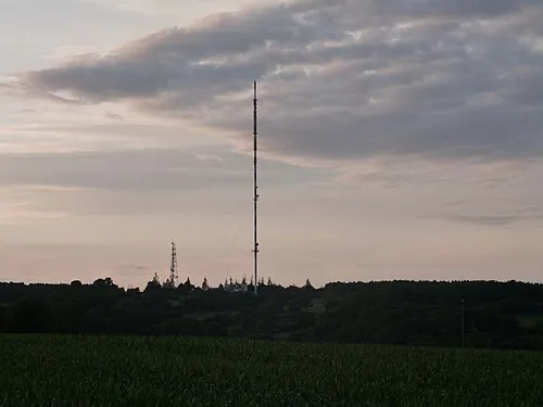 Mont Pinçon Mountain, Les Monts d'Aunay24 km N
-
Forêt de Halouze Natural site, Orne9.5 km SE
-
Ancienne église Saint-Thomas Attraction, Vire Normandie16 km NW
-
Église Sainte-Anne Attraction, Vire Normandie16 km NW
-
Château de Vire Historic site, Vire Normandie17 km NW
-
Église Notre-Dame de Vire Attraction, Vire Normandie17 km NW
Sources & licences
Data last updated: