- Elevation
- 6 m
- above sea level
- Local time
- UTC+01:00
- Europe/Paris · UTC+01:00
- Airports
- DOL Deauville Normandie airport66 km
- BVA Beauvais-Tillé airport77 km
About Ruisseau de Gully
Ruisseau de Gully is a river. Location: Seine-Maritime, Normandy. The best months to visit are June–August. The nearest airport is Deauville Normandie airport (66 km). Nearby sights include Cailly and Pont Gustave Flaubert.
Climate of Ruisseau de Gully
Best months for sightseeingBest months for sightseeing: June–August.
This month · November
A cold month
Day 11° · Night 5° · Rain 75 mm
- Hottest month
- August (day 23°)
- Coldest month
- February (night 2°)
- Wettest month
- December (76 mm)
- Driest month
- August (48 mm)
Bars: average monthly low and high temperature. Below: precipitation. Monthly averages for 1970–2000 at about 18 km resolution, adjusted for elevation. Highlighted months are mild and relatively dry. Source: WorldClim 2.1 (CC BY 4.0).
Show values as a table
| Month | Jan | Feb | Mar | Apr | May | Jun | Jul | Aug | Sep | Oct | Nov | Dec |
|---|---|---|---|---|---|---|---|---|---|---|---|---|
| Average high (°C) | 8° | 9° | 12° | 14° | 18° | 20° | 23° | 23° | 20° | 16° | 11° | 8° |
| Average low (°C) | 3° | 2° | 4° | 6° | 9° | 12° | 14° | 14° | 12° | 9° | 5° | 3° |
| Precipitation (mm) | 65 | 56 | 53 | 49 | 61 | 57 | 49 | 48 | 64 | 71 | 75 | 76 |
How to get to Ruisseau de Gully
The nearest airport is Deauville Normandie airport (DOL), 66 km to the west as the crow flies. For international flights: Beauvais-Tillé airport (BVA) (77 km). The nearest large city is Rouen, 4 km to the east.
Airports
- Deauville Normandie airport (DOL) Deauville 66 kmwest
- Beauvais-Tillé airport (BVA) Beauvais 77 kmeast
- Caen Carpiquet airport (CFR) Caen 114 kmwest
Nearby large cities
- Rouen Population: 116.3K 4 kmeast
- Le Havre Population: 186K 68 kmwest
- Cergy-Pontoise Population: 183.4K 88 kmsoutheast
- Amiens Population: 143.1K 103 kmnortheast
- Saint-Quentin-en-Yvelines Population: 146.6K 103 kmsoutheast
Straight-line distances; road distances are longer. Airport data: OurAirports.
Nearest towns and villages
-
Canteleu Village, Arrondissement de Rouen2.1 km SW
-
Le Petit-Quevilly Village, Arrondissement de Rouen2.2 km S
-
Déville-lès-Rouen Village, Arrondissement de Rouen2.2 km N
-
Rouen Village, Arrondissement de Rouen3.9 km E
-
Mont-Saint-Aignan Village, Arrondissement de Rouen3 km NE
-
Maromme Village, Arrondissement de Rouen3.6 km N
Nearby attractions & nature
Everything nearby-
Cailly River, Seine-Maritime<0.1 km N
-
Pont Gustave Flaubert Landmark, Rouen1.3 km SE
-
Île Lacroix Island, Seine-Maritime4.2 km SE
-
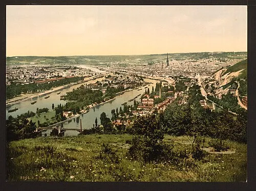 Île Brouilly Island, Seine-Maritime6.1 km SE
-
Forêt de Roumare Natural site, Seine-Maritime5.3 km SW
-
Chateau de Canteleu Historic site, Canteleu2.3 km SW
-
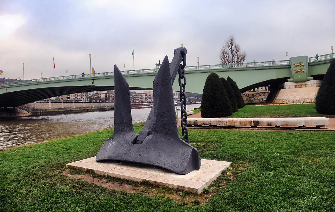 Pont Pierre-Corneille Landmark, Rouen3.7 km SE
-
Pont Guillaume le Conquérant Landmark, Rouen2.5 km SE
Sources & licences
Data last updated: