Arrondissement of Prades
Located in Pyrénées-Orientales, Occitanie Coordinates: 42°34′57″ N 2°17′07″ E
- Population
- 60,911
- 60.9K
- Elevation
- 1,375 m
- above sea level
- Local time
- UTC+01:00
- Europe/Paris · UTC+01:00
- Places inside
- 123
- listed under Arrondissement of Prades
- Airports
- PGF Perpignan-Rivesaltes (Llabanère) Airport51 km
- CCF Carcassonne Salvaza Airport70 km
About Arrondissement of Prades
Arrondissement of Prades is a municipality. Location: Pyrénées-Orientales, Occitanie. Population: 60,911. Elevation: 1,375 m. The best months to visit are July–August. The nearest airport is Perpignan-Rivesaltes (Llabanère) Airport (51 km). Nearby sights include Mantet and Roja.
Photos of Arrondissement of Prades
-
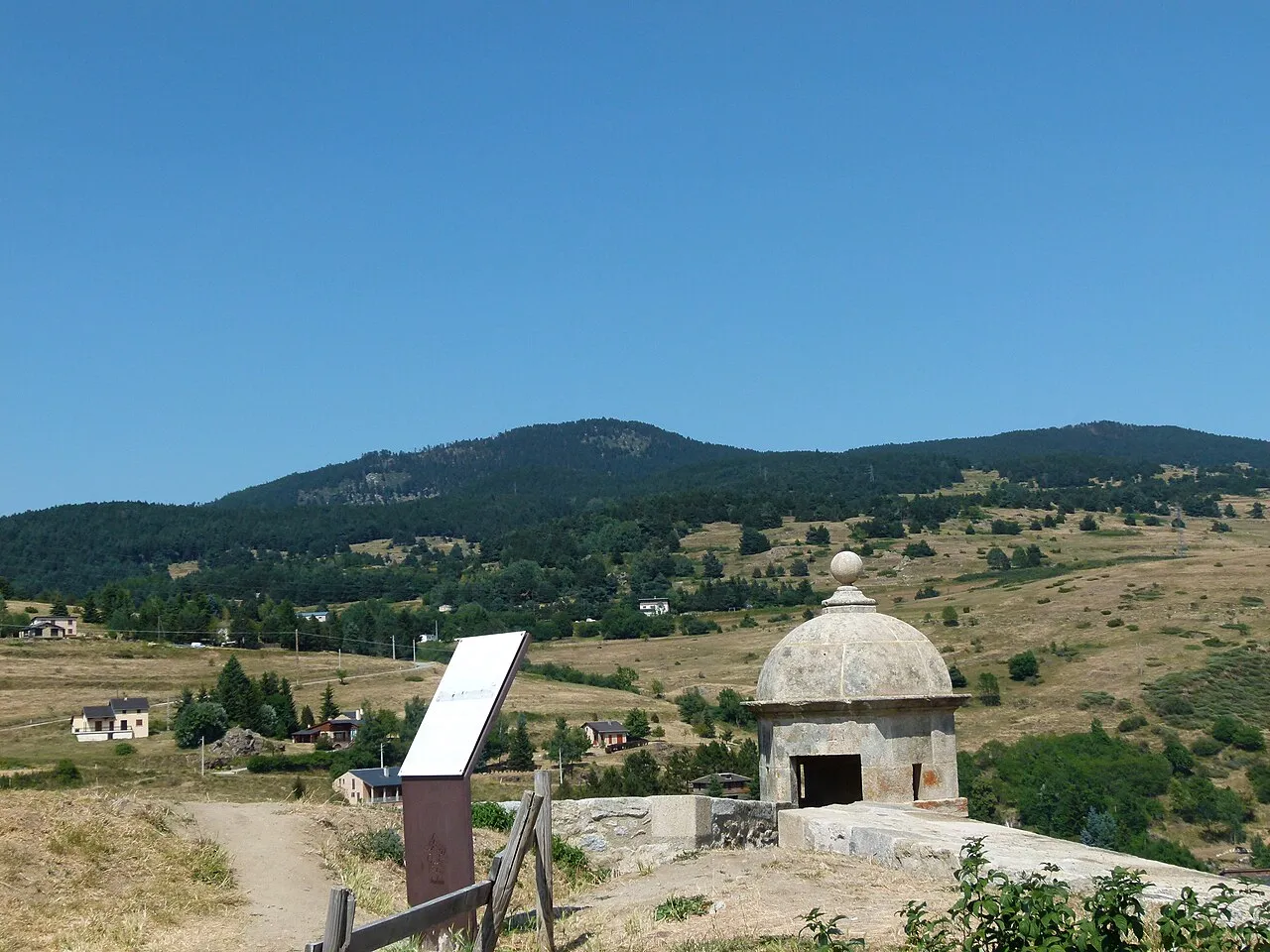
Puig de la Tossa Pere López Brosa · CC BY-SA 4.0 -
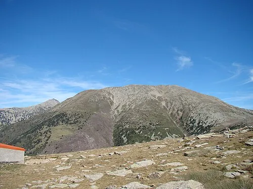
Pic dels Set Homes El Caro · CC BY-SA 3.0 -
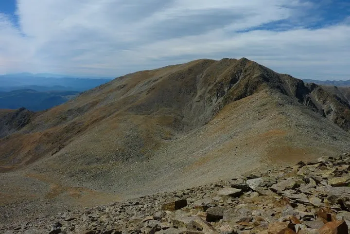
Puig Rojà nico66 · CC BY-SA 3.0 -
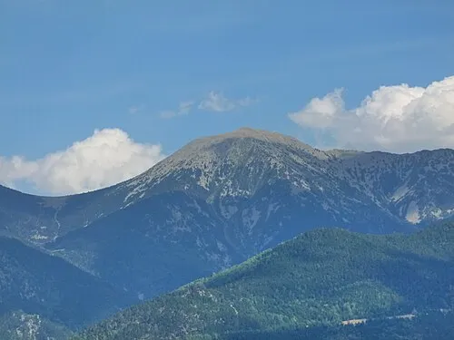
Puig Redon Pere López · CC BY-SA 4.0 -
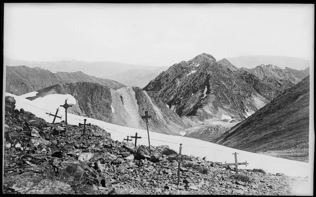
Pic del Racó Gros Anonymous Unknown author · Public domain


Climate of Arrondissement of Prades
Best months for sightseeingBest months for sightseeing: July–August.
This month · November
A wet month
Day 8° · Night 1° · Rain 108 mm
- Hottest month
- July (day 22°)
- Coldest month
- January (night -3°)
- Wettest month
- October (115 mm)
- Driest month
- July (56 mm)
Bars: average monthly low and high temperature. Below: precipitation. Monthly averages for 1970–2000 at about 18 km resolution, adjusted for elevation. Highlighted months are mild and relatively dry. Source: WorldClim 2.1 (CC BY 4.0).
Show values as a table
| Month | Jan | Feb | Mar | Apr | May | Jun | Jul | Aug | Sep | Oct | Nov | Dec |
|---|---|---|---|---|---|---|---|---|---|---|---|---|
| Average high (°C) | 5° | 5° | 7° | 9° | 14° | 18° | 22° | 22° | 18° | 13° | 8° | 6° |
| Average low (°C) | -3° | -2° | -1° | 1° | 5° | 8° | 11° | 11° | 8° | 5° | 1° | -1° |
| Precipitation (mm) | 93 | 81 | 77 | 86 | 111 | 90 | 56 | 76 | 83 | 115 | 108 | 98 |
How to get to Arrondissement of Prades
The nearest airport is Perpignan-Rivesaltes (Llabanère) Airport (PGF), 51 km to the east as the crow flies. The nearest large city is Perpignan, 52 km to the east.
Airports
- Perpignan-Rivesaltes (Llabanère) Airport (PGF) Perpignan/Rivesaltes 51 kmeast
- Carcassonne Salvaza Airport (CCF) Carcassonne 70 kmnorth
- Pirineus - la Seu d'Urgel Airport (LEU) La Seu d'Urgell Pyrenees and Andorra 77 kmwest
Nearby large cities
- Perpignan Population: 110.7K 52 kmeast
- Girona Population: 100.3K 80 kmsoutheast
- Terrassa Population: 218.5K 115 kmsouth
- Mataró Population: 127K 116 kmsouth
- Sabadell Population: 211.7K 116 kmsouth
Straight-line distances; road distances are longer. Airport data: OurAirports.
Day trips from Arrondissement of Prades
Within 100 km: 225 historic and cultural sites, 1,582 natural sites, 285 lakes, rivers and coasts.
0–25 km256 places
- Llac de Núria Lake 24 kmSW
- Pic Bastiments Mountain 19 kmS
- Roca Colom Mountain 19 kmS
- Coma de la Vaca Mountain 21 kmS
25–60 km794 places
- Pantà de Darinus - Boadella Lake 51 kmSE
- Puig del Torn Mountain 38 kmSE
- Puig dels Pradets Mountain 59 kmE
- Roc de la Sentinella Mountain 39 kmSE
60–100 km1,042 places
- Platja de Perafita Beach 73 kmE
- Puig Joan Mountain 71 kmE
- Artigue River 94 kmW
- Platja de Port-alguer Beach 88 kmE
Straight-line distances.
Arrondissement of Prades and similar cities
Side by side with cities of similar size in the same country: population, elevation and climate.
| Measure | Arrondissement of Prades | Troyes | Chambéry | La Roche-sur-Yon |
|---|---|---|---|---|
| Population | 60.9K | 60.8K | 61.6K | 59.4K |
| Elevation | 1,375 m | 106 m | 279 m | 73 m |
| Summer day (hottest month) | 22° | 26° | 28° | 25° |
| Winter night (coldest month) | -3° | 0° | -1° | 2° |
| Annual rainfall | 1,074 mm | 704 mm | 1,074 mm | 770 mm |
| Best months | Jul–Aug | May–Sep | May–Sep | Jun–Sep |
| Distance | — | 651 km | 441 km | 541 km |
Climate values are 1970–2000 monthly averages; straight-line distance.
Places in Arrondissement of Prades
123 places- 1 Prades 6.2K
- 2 Ille-sur-Têt 5.5K
- 3 Millas 4.4K
- 4 Vinça 2K
- 5 Corneilla-la-Rivière 2K
- 6 Font-Romeu-Odeillo-Via 1.9K
- 7 Saint-Paul-de-Fenouillet 1.8K
- 8 Vernet-les-Bains 1.4K
- 9 Osséja 1.3K
- 10 Ria-Sirach 1.3K
- 11 Néfiach 1.3K
- 12 Bourg-Madame 1.2K
- 13 Saillagouse 1.1K
- 14 Corbère-les-Cabanes 1.1K
- 15 Saint-Féliu-d'Amont 1.1K
- 16 Latour-de-France 1K
- 17 Los Masos 966
- 18 Bouleternère 931
- 19 Bolquère 816
- 20 Maury 783
- 21 Corbère 780
- 22 Catllar 768
- 23 La Cabanasse 700
- 24 Err 675
- 25 Angoustrine-Villeneuve-des-Escaldes 653
- 26 Enveitg 651
- 27 Rigarda 649
- 28 Caudiès-de-Fenouillèdes 630
- 29 Rodès 625
- 30 Marquixanes 543
- 31 Les Angles 537
- 32 Sournia 480
- 33 Corneilla-de-Conflent 470
- 34 Formiguères 468
- 35 Estavar 464
- 36 Fuilla 450
- 37 Égat 447
- 38 Latour-de-Carol 421
- 39 Palau-de-Cerdagne 403
- 40 Eus 387
- 41 Codalet 383
- 42 Sahorre 379
- 43 Olette 371
- 44 Ur 360
- 45 Saint-Michel-de-Llotes 343
- 46 Taurinya 334
- 47 Mosset 321
- 48 Matemale 274
- 49 Saint-Pierre-dels-Forcats 266
- 50 Joch 263
- 51 Clara-Villerach 255
- 52 Molitg-les-Bains 251
- 53 Serdinya 246
- 54 Bélesta 225
- 55 La Llagonne 216
- 56 Villefranche-de-Conflent 214
- 57 Targasonne 201
- 58 Fillols 183
- 59 Dorres 182
- 60 Finestret 180
Bar: population relative to the most populous place in this list.
Nearby attractions & nature
Everything nearby-
Mantet River, Pyrénées-Orientales3.1 km S
-
Roja River, Pyrénées-Orientales5.8 km E
-
Nohèdes River, Pyrénées-Orientales6.6 km NE
-
Conflent Natural site, Pyrénées-Orientales11 km E
-
Ruisseau Majou River, Pyrénées-Orientales8.2 km E
-
Carança River River, Pyrénées-Orientales8.5 km SW
-
Forêt de Clavéra Natural site, Pyrénées-Orientales11 km SW
-
Gorges de Saint-Vincent Natural site, Pyrénées-Orientales11 km SE
Sources & licences
Data last updated: