- Elevation
- 444 m
- above sea level
- Local time
- UTC+01:00
- Europe/Berlin · UTC+01:00
- Airports
- SXB Strasbourg Airport56 km
- FKB Karlsruhe Baden-Baden Airport57 km
About Erdlinsbach
Erdlinsbach is a village. Location: Wolfach, Ortenaukreis. Elevation: 444 m. The best months to visit are July–August. The nearest airport is Strasbourg Airport (56 km). Nearby sights include Lindenbühl and Scherenberg.
Photos of Erdlinsbach
-
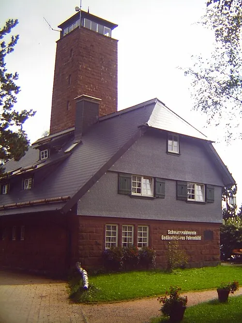
Mooswaldkopf Andreas Frick · Public domain

Climate of Erdlinsbach
Best months for sightseeingBest months for sightseeing: July–August.
This month · November
A wet month
Day 8° · Night 1° · Rain 121 mm
- Hottest month
- July (day 23°)
- Coldest month
- January (night -2°)
- Wettest month
- December (126 mm)
- Driest month
- September (87 mm)
Bars: average monthly low and high temperature. Below: precipitation. Monthly averages for 1970–2000 at about 18 km resolution, adjusted for elevation. Highlighted months are mild and relatively dry. Source: WorldClim 2.1 (CC BY 4.0).
Show values as a table
| Month | Jan | Feb | Mar | Apr | May | Jun | Jul | Aug | Sep | Oct | Nov | Dec |
|---|---|---|---|---|---|---|---|---|---|---|---|---|
| Average high (°C) | 4° | 5° | 9° | 12° | 18° | 21° | 23° | 23° | 19° | 14° | 8° | 5° |
| Average low (°C) | -2° | -2° | 1° | 3° | 8° | 11° | 13° | 13° | 9° | 6° | 1° | -1° |
| Precipitation (mm) | 112 | 105 | 97 | 93 | 114 | 123 | 121 | 93 | 87 | 107 | 121 | 126 |
How to get to Erdlinsbach
The nearest airport is Strasbourg Airport (SXB), 56 km to the northwest as the crow flies. The nearest large city is Freiburg im Breisgau, 45 km to the southwest.
Airports
- Strasbourg Airport (SXB) Strasbourg 56 kmnorthwest
- Karlsruhe Baden-Baden Airport (FKB) Rheinmünster 57 kmnorth
- Stuttgart Airport (STR) Stuttgart 83 kmnortheast
Nearby large cities
- Freiburg im Breisgau Population: 237.5K 45 kmsouthwest
- Strasbourg Population: 274.8K 52 kmnorthwest
- Reutlingen Population: 112.6K 72 kmeast
- Pforzheim Population: 119.3K 74 kmnortheast
- Karlsruhe Population: 283.8K 81 kmnorth
Straight-line distances; road distances are longer. Airport data: OurAirports.
Day trips from Erdlinsbach
Within 100 km: 826 historic and cultural sites, 3,169 natural sites, 738 lakes, rivers and coasts.
0–25 km335 places
- Glaswaldsee Lake 16 kmN
- Schöllkopf Mountain 19 kmNE
- Röte Mountain 19 kmE
- Roßberg Mountain 14 kmN
25–60 km1,429 places
- Hoher Randen (Südliche Höhe) Mountain 59 kmS
- Unditz River 37 kmNW
- Rench River 50 kmNW
- Titisee Lake 44 kmS
60–100 km2,969 places
- Mainau Island 93 kmSE
- Fahr Abbey Attraction 98 kmS
- Dominikanerinsel Konstanz Island 96 kmSE
- Strandbad Steckborn Beach 86 kmSE
Straight-line distances.
Nearby attractions & nature
Everything nearby-
Lindenbühl Mountain, Wolfach1.9 km SW
-
Scherenberg Mountain, Wolfach2.1 km SW
-
Spinnerskopf Mountain, Wolfach2.2 km NW
-
Kapf (II) Mountain, Wolfach2.5 km N
-
Retschenkopf Mountain, Wolfach3.2 km SW
-
Sommerecke Mountain, Wolfach3.4 km SW
Sources & licences
Data last updated: