Gütenbach
Located in Schwarzwald-Baar-Kreis, Freiburg Region Coordinates: 48°03′00″ N 8°09′00″ E
- Population
- 1,025
- 1K
- Elevation
- 826 m
- above sea level
- Local time
- UTC+01:00
- Europe/Berlin · UTC+01:00
- Places inside
- 9
- listed under Gütenbach
- Airports
- SXB Strasbourg Airport67 km
- BSL EuroAirport Basel–Mulhouse–Freiburg69 km
About Gütenbach
Gütenbach is a village. Location: Schwarzwald-Baar-Kreis, Freiburg Region. Population: 1,025. Elevation: 826 m. The best months to visit are June–August. The nearest airport is Strasbourg Airport (67 km). Nearby sights include Staatsberg and Hohe Steig.
Photos of Gütenbach
-
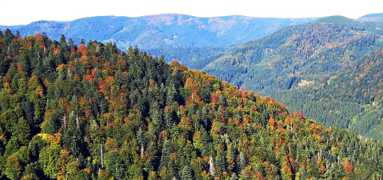
Obereck WWasser · CC BY-SA 3.0 -
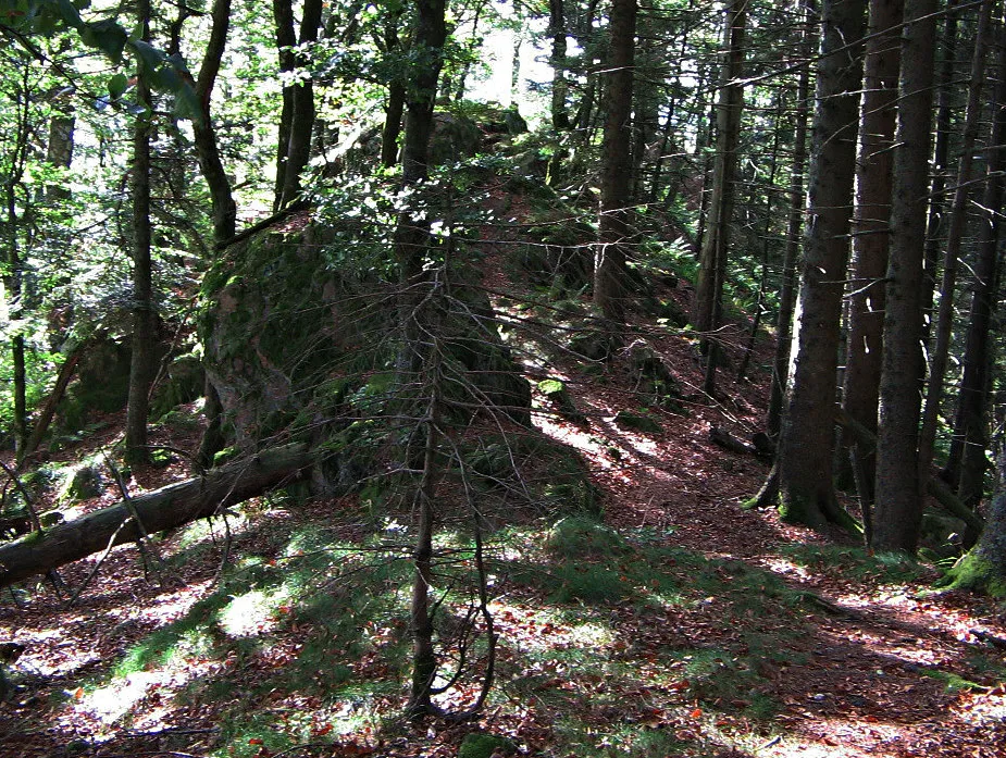
Schultiskopf WWasser · CC BY-SA 3.0


Climate of Gütenbach
Best months for sightseeingBest months for sightseeing: June–August.
This month · November
A wet month
Day 6° · Night -1° · Rain 129 mm
- Hottest month
- July (day 20°)
- Coldest month
- January (night -4°)
- Wettest month
- December (138 mm)
- Driest month
- September (91 mm)
Bars: average monthly low and high temperature. Below: precipitation. Monthly averages for 1970–2000 at about 18 km resolution, adjusted for elevation. Highlighted months are mild and relatively dry. Source: WorldClim 2.1 (CC BY 4.0).
Show values as a table
| Month | Jan | Feb | Mar | Apr | May | Jun | Jul | Aug | Sep | Oct | Nov | Dec |
|---|---|---|---|---|---|---|---|---|---|---|---|---|
| Average high (°C) | 2° | 3° | 6° | 10° | 15° | 18° | 20° | 20° | 16° | 12° | 6° | 3° |
| Average low (°C) | -4° | -4° | -2° | 1° | 5° | 8° | 11° | 10° | 7° | 3° | -1° | -3° |
| Precipitation (mm) | 118 | 113 | 102 | 100 | 119 | 128 | 126 | 99 | 91 | 114 | 129 | 138 |
How to get to Gütenbach
The nearest airport is Strasbourg Airport (SXB), 67 km to the northwest as the crow flies. The nearest large city is Freiburg im Breisgau, 23 km to the west.
Airports
- Strasbourg Airport (SXB) Strasbourg 67 kmnorthwest
- EuroAirport Basel–Mulhouse–Freiburg (BSL) Bâle / Mulhouse 69 kmsouthwest
- Zürich Airport (ZRH) Zurich 72 kmsoutheast
Nearby large cities
- Freiburg im Breisgau Population: 237.5K 23 kmwest
- Strasbourg Population: 274.8K 67 kmnorthwest
- Basel Population: 177.6K 70 kmsouthwest
- Mulhouse Population: 111.4K 70 kmsouthwest
- Winterthur Population: 111.8K 74 kmsoutheast
Straight-line distances; road distances are longer. Airport data: OurAirports.
Day trips from Gütenbach
Within 100 km: 640 historic and cultural sites, 2,584 natural sites, 689 lakes, rivers and coasts.
0–25 km322 places
- Titisee Lake 17 kmS
- Feld See Lake 22 kmSW
- Vögelestein Mountain 15 kmNW
- Toter Mann Mountain 21 kmSW
25–60 km1,151 places
- Paradiesweiher Lake 57 kmSE
- Chatzenweier Lake 58 kmSE
- Eetelweier Lake 58 kmS
- Ängiwäier Lake 52 kmSE
60–100 km2,440 places
- Mainau Island 87 kmSE
- Fahr Abbey Attraction 75 kmS
- Dominikanerinsel Konstanz Island 88 kmSE
- Strandbad Steckborn Beach 75 kmSE
Straight-line distances.
Places in Gütenbach
9 placesBar: population relative to the most populous place in this list.
Cities & villages6
- Hintertal · Village
- Hübschental · Village
- Kilpen · Village
- Oberlehmannsgrund · Village
- Teich · Village
- Vordertal · Village
Mountains & nature2
- Kaisersebene · Mountain
- Simmelberg · Mountain
Nearby attractions & nature
Everything nearby-
Staatsberg Mountain, Furtwangen im Schwarzwald2 km E
-
Hohe Steig Mountain, Simonswald3.3 km NW
-
Großer Hausberg Mountain, Furtwangen im Schwarzwald3.7 km E
-
Brend Mountain, Furtwangen im Schwarzwald3.4 km N
-
Rosseck Mountain, Simonswald4.9 km N
-
Sonnenberg Mountain, Furtwangen im Schwarzwald4.8 km E
Sources & licences
Data last updated: