Lenningen
Located in Landkreis Esslingen, Regierungsbezirk Stuttgart Coordinates: 48°32′59″ N 9°28′17″ E
- Population
- 7,974
- 8K
- Elevation
- 448 m
- above sea level
- Local time
- UTC+01:00
- Europe/Berlin · UTC+01:00
- Places inside
- 14
- listed under Lenningen
- Airports
- STR Stuttgart Airport24 km
- FMM Memmingen Allgau Airport85 km
About Lenningen
Lenningen is a village. Location: Landkreis Esslingen, Regierungsbezirk Stuttgart. Population: 7,974. Elevation: 448 m. The best months to visit are June–August. The nearest airport is Stuttgart Airport (24 km). Nearby sights include Hart and Elsachstadt.
Photos of Lenningen
-
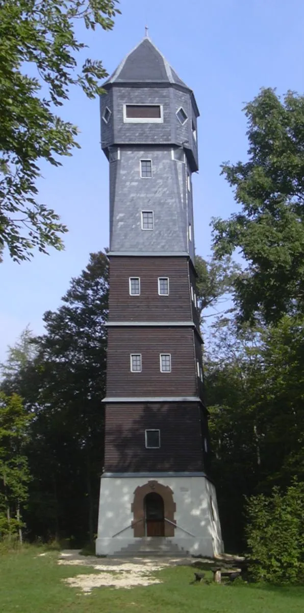
Römerstein Ssch · CC BY-SA 3.0 -
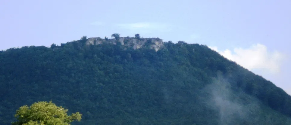
Breitenstein Genet · CC BY-SA 3.0 -
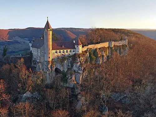
Teck Merkur-kun · CC BY-SA 4.0


Climate of Lenningen
Best months for sightseeingBest months for sightseeing: June–August.
This month · November
A cold month
Day 7° · Night 0° · Rain 66 mm
- Hottest month
- July (day 23°)
- Coldest month
- January (night -3°)
- Wettest month
- June (104 mm)
- Driest month
- January (52 mm)
Bars: average monthly low and high temperature. Below: precipitation. Monthly averages for 1970–2000 at about 18 km resolution, adjusted for elevation. Highlighted months are mild and relatively dry. Source: WorldClim 2.1 (CC BY 4.0).
Show values as a table
| Month | Jan | Feb | Mar | Apr | May | Jun | Jul | Aug | Sep | Oct | Nov | Dec |
|---|---|---|---|---|---|---|---|---|---|---|---|---|
| Average high (°C) | 3° | 4° | 9° | 12° | 18° | 20° | 23° | 23° | 18° | 13° | 7° | 4° |
| Average low (°C) | -3° | -3° | 0° | 3° | 7° | 10° | 12° | 12° | 9° | 5° | 0° | -2° |
| Precipitation (mm) | 52 | 53 | 57 | 67 | 89 | 104 | 91 | 80 | 65 | 66 | 66 | 66 |
How to get to Lenningen
The nearest airport is Stuttgart Airport (STR), 24 km to the northwest as the crow flies. The nearest large city is Reutlingen, 21 km to the west.
Airports
- Stuttgart Airport (STR) Stuttgart 24 kmnorthwest
- Memmingen Allgau Airport (FMM) Memmingen 85 kmsoutheast
- Bodensee Airport Friedrichshafen (FDH) Friedrichshafen 98 kmsouth
Nearby large cities
- Reutlingen Population: 112.6K 21 kmwest
- Stuttgart Population: 612.7K 34 kmnorthwest
- Ulm Population: 120.5K 42 kmsoutheast
- Pforzheim Population: 119.3K 68 kmnorthwest
- Heilbronn Population: 120.7K 68 kmnorth
Straight-line distances; road distances are longer. Airport data: OurAirports.
Day trips from Lenningen
Within 100 km: 853 historic and cultural sites, 3,719 natural sites, 836 lakes, rivers and coasts.
0–25 km467 places
- Lauter River 16 kmNW
- Schneiderhau Mountain 12 kmSW
- Wasserberg Mountain 20 kmNE
- Wackerstein Mountain 23 kmSW
25–60 km1,933 places
- Lauter River 35 kmSE
- Pfaffensee Lake 35 kmNW
- Federsee Lake 53 kmS
- Blinder See Lake 54 kmS
60–100 km3,008 places
- Hessental Concentration Camp Historic site 66 kmN
- Mainau Island 96 kmS
- Zusam River 96 kmE
- Reichenau Island Island 100 kmS
Straight-line distances.
Places in Lenningen
14 placesBar: population relative to the most populous place in this list.
Cities & villages7
- Brucken · Village
- Gutenberg · Village
- Krebsstein · Village
- Oberlenningen · Village
- Schlattstall · Village
- Schopfloch · Village
- Unterlenningen · Village
Mountains & nature5
- Asch · Mountain
- Brucker Hölzle · Mountain
- Bühl · Mountain
- Gelber Fels · Mountain
- Mönchberg · Mountain
Heritage & sights1
- Ruine Wielandstein · Historic site
Nearby attractions & nature
Everything nearby-
Hart Mountain, Erkenbrechtsweiler1.7 km W
-
Elsachstadt Historic site, Grabenstetten2.4 km SW
-
Bassgeige Mountain, Erkenbrechtsweiler3.6 km NW
-
Friedrichsfels Mountain, Erkenbrechtsweiler2.8 km NW
-
Teck Historic site, Owen4.3 km N
-
Breitenstein Mountain, Bissingen an der Teck4.3 km NE
Sources & licences
Data last updated: