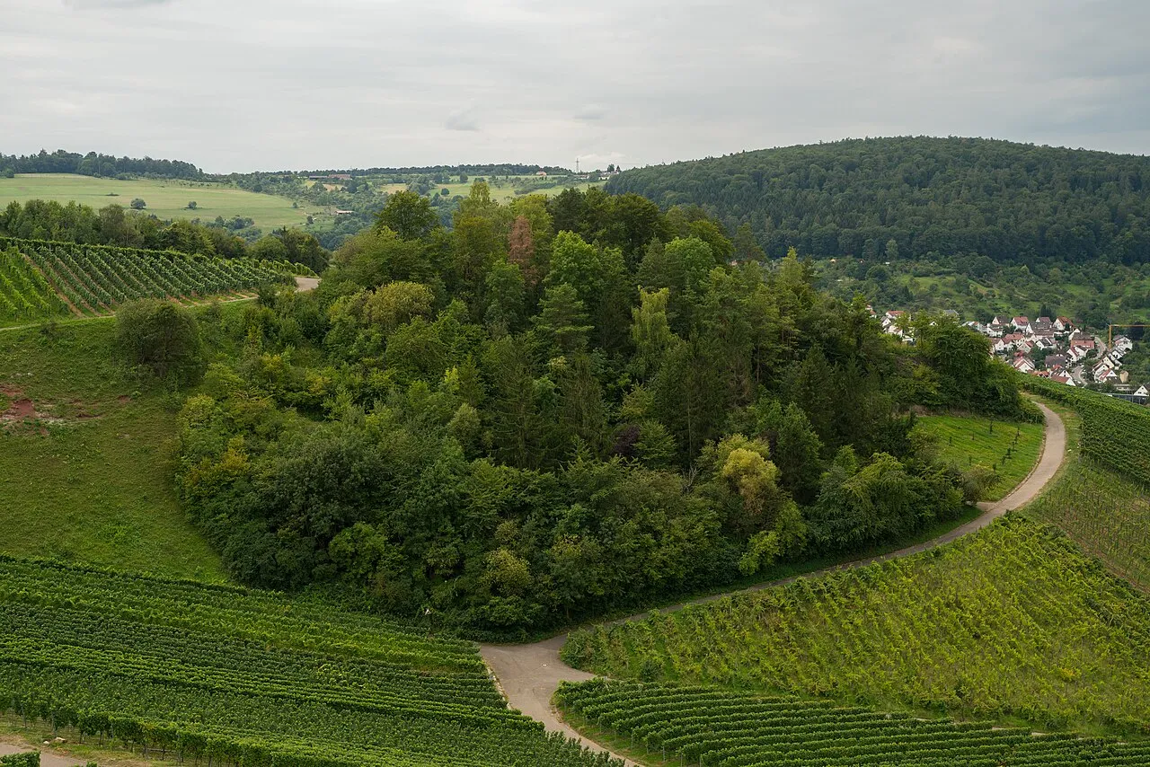
- Elevation
- 359 m
- above sea level
- Local time
- UTC+01:00
- Europe/Berlin · UTC+01:00
- Airports
- STR Stuttgart Airport16 km
- FKB Karlsruhe Baden-Baden Airport95 km
About Klingenkopf
Klingenkopf is a mountain. Location: Weinstadt, Rems-Murr-Kreis. Elevation: 359 m. The best months to visit are June–August. The nearest airport is Stuttgart Airport (16 km). Nearby sights include Schützenhüttle and Karlstein.
Photos of Klingenkopf
-
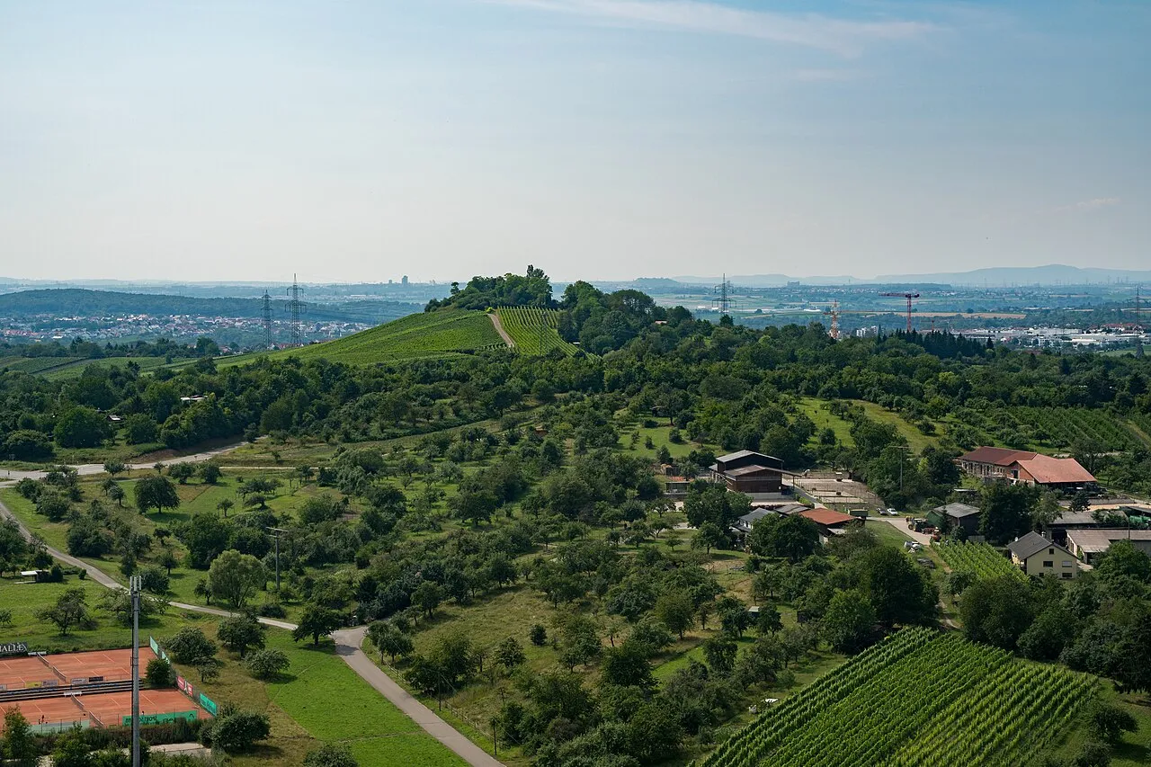
Sörenberg Laserlicht · CC BY-SA 4.0 -
Kleinheppacher Kopf Laserlicht · CC BY-SA 4.0 -
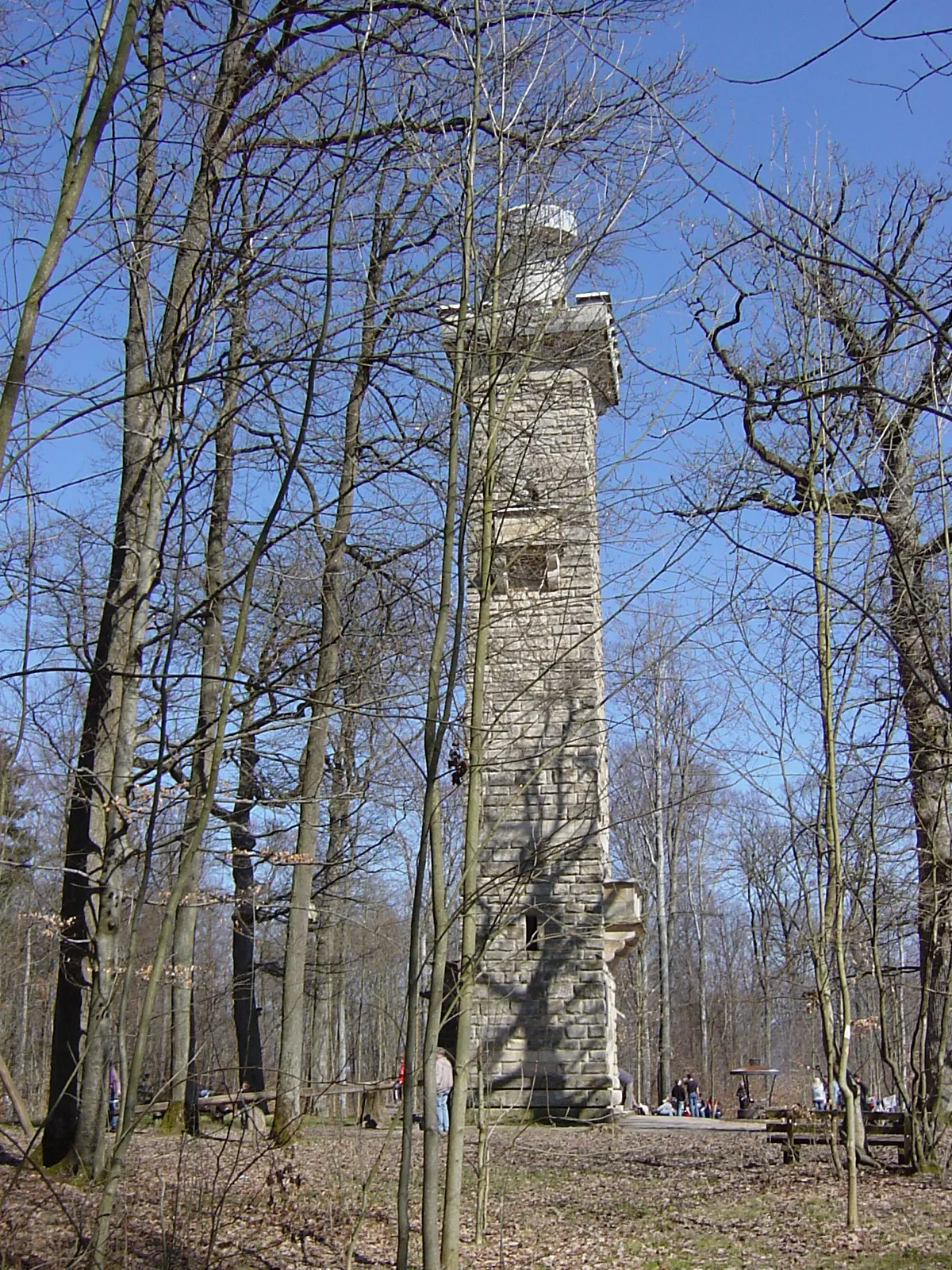
Kernen Slimguy · CC BY-SA 3.0 -
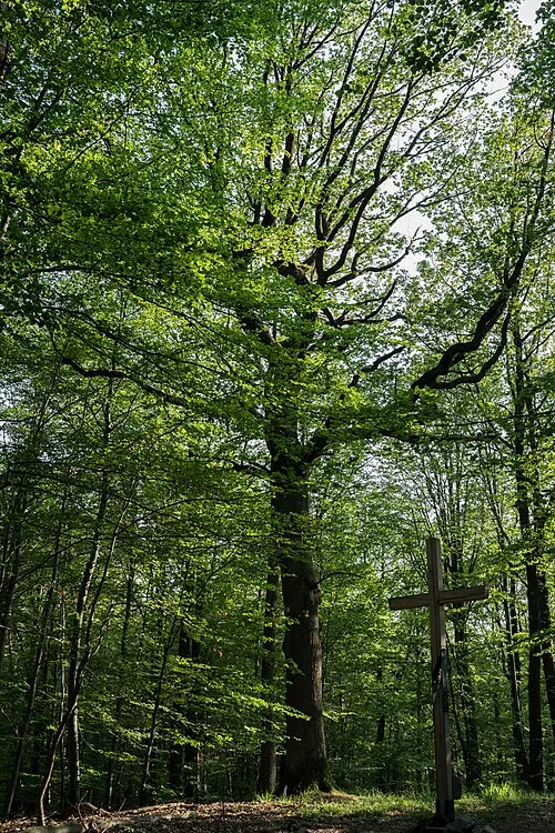
Katzenkopf Laserlicht · CC BY-SA 4.0 -
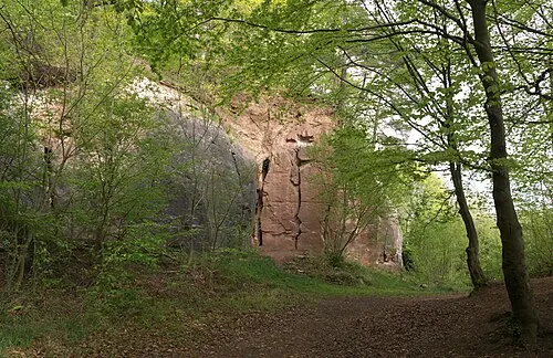
Haselstein Megatherium · CC BY-SA 4.0


Climate of Klingenkopf
Best months for sightseeingBest months for sightseeing: June–August.
This month · November
A cold month
Day 8° · Night 1° · Rain 69 mm
- Hottest month
- July (day 23°)
- Coldest month
- January (night -3°)
- Wettest month
- June (101 mm)
- Driest month
- January (55 mm)
Bars: average monthly low and high temperature. Below: precipitation. Monthly averages for 1970–2000 at about 18 km resolution, adjusted for elevation. Highlighted months are mild and relatively dry. Source: WorldClim 2.1 (CC BY 4.0).
Show values as a table
| Month | Jan | Feb | Mar | Apr | May | Jun | Jul | Aug | Sep | Oct | Nov | Dec |
|---|---|---|---|---|---|---|---|---|---|---|---|---|
| Average high (°C) | 3° | 5° | 9° | 13° | 18° | 21° | 23° | 23° | 19° | 13° | 8° | 4° |
| Average low (°C) | -3° | -2° | 1° | 3° | 8° | 11° | 13° | 12° | 9° | 5° | 1° | -1° |
| Precipitation (mm) | 55 | 55 | 58 | 66 | 91 | 101 | 89 | 76 | 67 | 69 | 69 | 69 |
How to get to Klingenkopf
The nearest airport is Stuttgart Airport (STR), 16 km to the southwest as the crow flies. The nearest large city is Stuttgart, 14 km to the west.
Airports
- Stuttgart Airport (STR) Stuttgart 16 kmsouthwest
- Karlsruhe Baden-Baden Airport (FKB) Rheinmünster 95 kmwest
- Mannheim-City Airport (MHG) Mannheim 98 kmnorthwest
Nearby large cities
- Stuttgart Population: 612.7K 14 kmwest
- Reutlingen Population: 112.6K 35 kmsouth
- Heilbronn Population: 120.7K 40 kmnorth
- Pforzheim Population: 119.3K 50 kmwest
- Ulm Population: 120.5K 63 kmsoutheast
Straight-line distances; road distances are longer. Airport data: OurAirports.
Day trips from Klingenkopf
Within 100 km: 1,022 historic and cultural sites, 3,667 natural sites, 849 lakes, rivers and coasts.
0–25 km533 places
- Lauter River 12 kmS
- Pfaffensee Lake 20 kmW
- Bärensee Lake 21 kmW
- Leinecksee Lake 24 kmE
25–60 km1,917 places
- Hessental Concentration Camp Historic site 46 kmNE
- Lauter River 57 kmSE
- Blautopf Lake 51 kmSE
- Annasee Lake 30 kmN
60–100 km3,088 places
- Umpfer River 88 kmN
- Elsenz River 79 kmNW
- Insel Flotzgrün Island 87 kmNW
- Neckarinsel Island 85 kmNW
Straight-line distances.
Nearest towns and villages
-
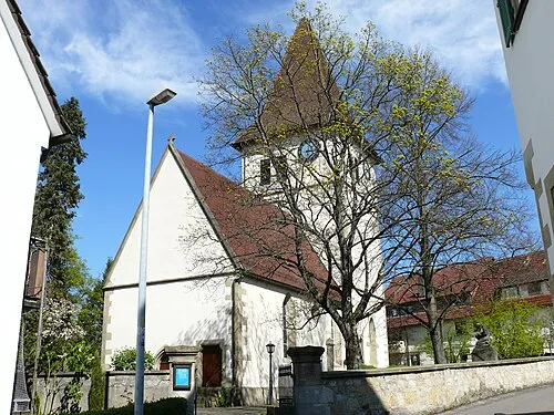 Weinstadt-Endersbach Town, Weinstadt2.5 km N
-
Kernen Village, Rems-Murr-Kreis2.8 km W
-
Strümpfelbach Village, Weinstadt0.8 km SW
-
Aichwald Village, Landkreis Esslingen3.5 km SE
-
 Beutelsbach Village, Weinstadt2 km NE
-
Schnait Village, Weinstadt2.6 km E
Nearby attractions & nature
Everything nearby-
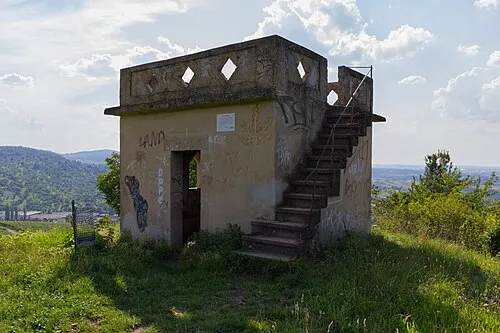 Schützenhüttle Mountain, Weinstadt0.3 km NE
-
Karlstein Mountain, Weinstadt0.5 km E
-
Katzenkopf Mountain, Esslingen am Neckar4.2 km SW
-
Kernen Mountain, Fellbach4.4 km W
-
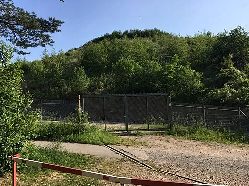 Katzenbühl Mountain, Esslingen am Neckar4.4 km SW
-
Kleinheppacher Kopf Mountain, Korb4.8 km N
-
Schönbühl Mountain, Weinstadt3.6 km E
-
Nonnenberg Mountain, Weinstadt4.4 km E
Sources & licences
Data last updated: · 2 independent sources