Kleingundertshausen
Located in Mainburg, Landkreis Kelheim Coordinates: 48°36′58″ N 11°48′38″ E
- Elevation
- 455 m
- above sea level
- Local time
- UTC+01:00
- Europe/Berlin · UTC+01:00
- Airports
- MUC Munich Airport29 km
- NUE Nuremberg Airport112 km
About Kleingundertshausen
Kleingundertshausen is a village. Location: Mainburg, Landkreis Kelheim. Elevation: 455 m. The best months to visit are June–August. The nearest airport is Munich Airport (29 km). Nearby sights include Pötzmes, Pfarrkirche St. Georg and Jägerberg.
Climate of Kleingundertshausen
Best months for sightseeingBest months for sightseeing: June–August.
This month · November
A cold month
Day 6° · Night 0° · Rain 61 mm
- Hottest month
- July (day 23°)
- Coldest month
- January (night -4°)
- Wettest month
- June (98 mm)
- Driest month
- February (44 mm)
Bars: average monthly low and high temperature. Below: precipitation. Monthly averages for 1970–2000 at about 18 km resolution, adjusted for elevation. Highlighted months are mild and relatively dry. Source: WorldClim 2.1 (CC BY 4.0).
Show values as a table
| Month | Jan | Feb | Mar | Apr | May | Jun | Jul | Aug | Sep | Oct | Nov | Dec |
|---|---|---|---|---|---|---|---|---|---|---|---|---|
| Average high (°C) | 2° | 3° | 8° | 13° | 18° | 21° | 23° | 23° | 19° | 12° | 6° | 3° |
| Average low (°C) | -4° | -4° | 0° | 3° | 7° | 11° | 12° | 12° | 8° | 4° | 0° | -3° |
| Precipitation (mm) | 49 | 44 | 54 | 56 | 80 | 98 | 97 | 87 | 68 | 59 | 61 | 56 |
How to get to Kleingundertshausen
The nearest airport is Munich Airport (MUC), 29 km to the south as the crow flies. The nearest large city is Ingolstadt, 33 km to the northwest.
Airports
- Munich Airport (MUC) Munich 29 kmsouth
- Nuremberg Airport (NUE) Nuremberg 112 kmnorthwest
- Salzburg Airport (SZG) Salzburg 127 kmsoutheast
Nearby large cities
- Ingolstadt Population: 120.7K 33 kmnorthwest
- Regensburg Population: 151.4K 49 kmnortheast
- Munich Population: 1.5M 56 kmsouth
- Augsburg Population: 301.1K 73 kmwest
- Nuremberg Population: 515.5K 108 kmnorthwest
Straight-line distances; road distances are longer. Airport data: OurAirports.
Day trips from Kleingundertshausen
Within 100 km: 636 historic and cultural sites, 1,622 natural sites, 500 lakes, rivers and coasts.
0–25 km56 places
- Unterweiher Lake 17 kmNW
- Stauweiher Lake 22 kmSE
- Oberweiher Lake 15 kmNW
- Ausgleichweiher Lake 19 kmSE
25–60 km680 places
- elf-pavlik's tent Historic site 50 kmS
- Speichersee Lake 45 kmS
- Gretlmühle Lake 31 kmE
- Alte Donau Lake 57 kmNE
60–100 km2,022 places
- Frauenchiemsee Island 94 kmSE
- Schloss Hirschberg am Haarsee Historic site 100 kmSW
- Herreninsel Island 95 kmSE
- Bohemian Forest Mountain 97 kmNE
Straight-line distances.
Nearby attractions & nature
Everything nearby-
Pötzmes, Pfarrkirche St. Georg Attraction, Attenhofen3.5 km N
-
Jägerberg Mountain, Bavaria14 km NW
-
Fernmeldeturm Dirnberg Landmark, Pfeffenhausen, Markt9.2 km E
-
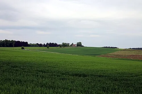 Schindlberg Mountain, Wolfersdorf18 km SW
-
Seeberg Mountain, Rohr i.NB, Markt20 km NE
-
Galgenberg Mountain, Abensberg24 km N
Other cities and towns in Mainburg
-
 Ebrantshausen Village, Mainburg7.4 km NW
-
Puttenhausen Village, Mainburg2.7 km W
-
Aufhausen Village, Mainburg2.9 km W
-
Lohmühle Village, Mainburg2.9 km NW
-
Leitenbach Village, Mainburg5.5 km N
-
Wambach Village, Mainburg5.1 km NW
Sources & licences
Data last updated: