- Elevation
- 598 m
- above sea level
- Local time
- UTC+01:00
- Europe/Berlin · UTC+01:00
- Airports
- JCL České Budějovice South Bohemian Airport96 km
- LNZ Linz-Hörsching Airport110 km
About Langbruck
Langbruck is a village. Location: Bischofsmais, Landkreis Regen. Elevation: 598 m. The best months to visit are June–August. The nearest airport is České Budějovice South Bohemian Airport (96 km). Nearby sights include Fichtenbach and Ochsenhöhe.
Photos of Langbruck
-
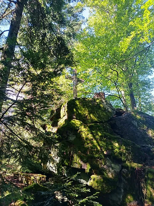
Hausstein APneunzehn74 · CC BY-SA 4.0 -
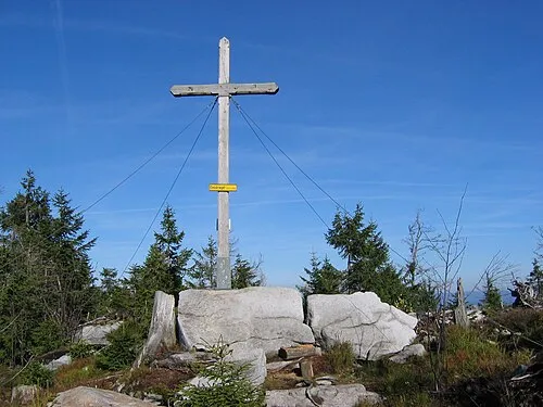
Einödriegel MisterPicture · CC BY-SA 3.0 -
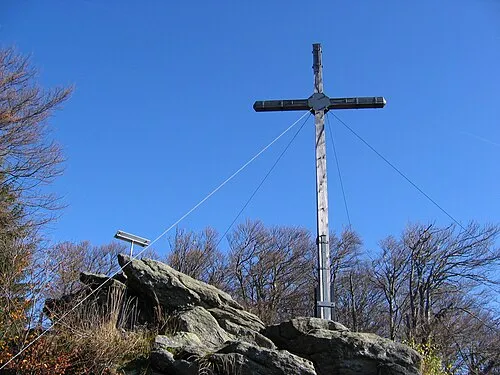
Dreitannenriegel MisterPicture · CC BY-SA 3.0 -
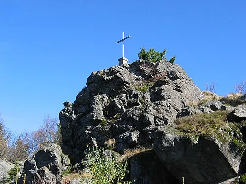
Breitenauriegel MisterPicture · CC BY-SA 3.0


Climate of Langbruck
Best months for sightseeingBest months for sightseeing: June–August.
This month · November
A cold month
Day 5° · Night -1° · Rain 85 mm
- Hottest month
- July (day 21°)
- Coldest month
- January (night -5°)
- Wettest month
- July (124 mm)
- Driest month
- April (64 mm)
Bars: average monthly low and high temperature. Below: precipitation. Monthly averages for 1970–2000 at about 18 km resolution, adjusted for elevation. Highlighted months are mild and relatively dry. Source: WorldClim 2.1 (CC BY 4.0).
Show values as a table
| Month | Jan | Feb | Mar | Apr | May | Jun | Jul | Aug | Sep | Oct | Nov | Dec |
|---|---|---|---|---|---|---|---|---|---|---|---|---|
| Average high (°C) | 1° | 3° | 7° | 11° | 17° | 19° | 21° | 21° | 17° | 12° | 5° | 2° |
| Average low (°C) | -5° | -5° | -2° | 1° | 6° | 9° | 11° | 11° | 7° | 3° | -1° | -4° |
| Precipitation (mm) | 90 | 71 | 81 | 64 | 81 | 108 | 124 | 101 | 82 | 77 | 85 | 107 |
How to get to Langbruck
The nearest airport is České Budějovice South Bohemian Airport (JCL), 96 km to the east as the crow flies. The nearest large city is Regensburg, 75 km to the west.
Airports
- České Budějovice South Bohemian Airport (JCL) České Budějovice 96 kmeast
- Linz-Hörsching Airport (LNZ) Linz 110 kmsoutheast
- Munich Airport (MUC) Munich 117 kmsouthwest
Nearby large cities
- Regensburg Population: 151.4K 75 kmwest
- Linz Population: 204.8K 110 kmsoutheast
- Salzburg Population: 157.2K 125 kmsouth
- Ingolstadt Population: 120.7K 126 kmwest
- Munich Population: 1.5M 144 kmsouthwest
Straight-line distances; road distances are longer. Airport data: OurAirports.
Day trips from Langbruck
Within 100 km: 136 historic and cultural sites, 1,044 natural sites, 349 lakes, rivers and coasts.
0–25 km172 places
- Bohemian Forest Mountain 12 kmNW
- Isar River 17 kmSW
- Rachelsee Lake 21 kmE
- Kleiner Arber See Lake 23 kmN
25–60 km575 places
- Biber-Revier River 32 kmN
- Teufelsschüssel Mountain 56 kmE
- Zwiesel Berg Mountain 59 kmE
- Teufelsstein Mountain 59 kmSE
60–100 km782 places
- Rannasee Lake 65 kmSE
- Wienerhöhe Mountain 98 kmS
- Weissenhöhe Mountain 97 kmS
- Urhammer Berg Mountain 96 kmS
Straight-line distances.
Nearby attractions & nature
Everything nearby-
Fichtenbach River, Bavaria0.6 km SW
-
Ochsenhöhe Mountain, Regen1.7 km N
-
Hollerberg Mountain, Regen2.1 km N
-
Mühlbauerberg Mountain, Kirchberg i.Wald2.8 km NE
-
Teufelstisch Mountain, Bischofsmais4.3 km W
-
Kühberg Mountain, Bischofsmais5.2 km SW
Sources & licences
Data last updated: