- Elevation
- 1,159 m
- above sea level
- Local time
- UTC+01:00
- Europe/Berlin · UTC+01:00
- Airports
- SZG Salzburg Airport30 km
- MUC Munich Airport95 km
About Seekopf
Seekopf is a mountain. Location: Ruhpolding, Landkreis Traunstein. Elevation: 1,159 m. The best months to visit are July–August. The nearest airport is Salzburg Airport (30 km). Nearby sights include Richtstrich Kopf and Saurüsselkopf.
Photos of Seekopf
-
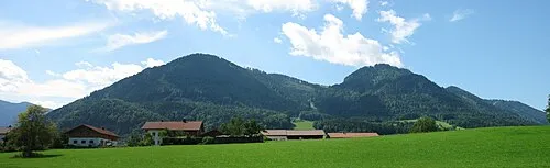
Unternberg Max1235 · CC BY-SA 3.0 -
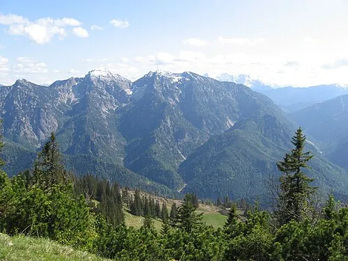
Sonntagshorn 20percent · Public domain -
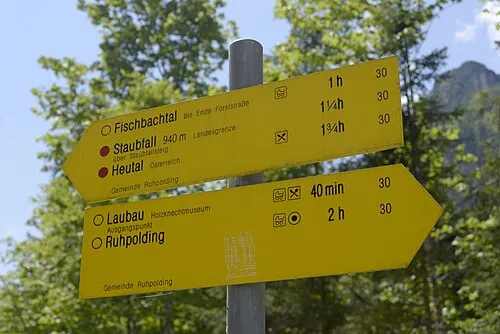
Saurüsselkopf Carl von Einem · CC BY-SA 4.0 -
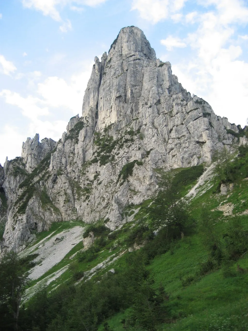
Hörndlwand Aventinus · Public domain


Climate of Seekopf
Best months for sightseeingBest months for sightseeing: July–August.
This month · November
A cold month
Day 4° · Night -3° · Rain 93 mm
- Hottest month
- July (day 19°)
- Coldest month
- January (night -7°)
- Wettest month
- July (172 mm)
- Driest month
- February (74 mm)
Bars: average monthly low and high temperature. Below: precipitation. Monthly averages for 1970–2000 at about 18 km resolution, adjusted for elevation. Highlighted months are mild and relatively dry. Source: WorldClim 2.1 (CC BY 4.0).
Show values as a table
| Month | Jan | Feb | Mar | Apr | May | Jun | Jul | Aug | Sep | Oct | Nov | Dec |
|---|---|---|---|---|---|---|---|---|---|---|---|---|
| Average high (°C) | 0° | 1° | 5° | 9° | 14° | 17° | 19° | 19° | 15° | 10° | 4° | 1° |
| Average low (°C) | -7° | -6° | -3° | 0° | 4° | 7° | 9° | 9° | 6° | 2° | -3° | -5° |
| Precipitation (mm) | 80 | 74 | 92 | 93 | 114 | 163 | 172 | 155 | 107 | 80 | 93 | 95 |
How to get to Seekopf
The nearest airport is Salzburg Airport (SZG), 30 km to the east as the crow flies. The nearest large city is Salzburg, 33 km to the east.
Airports
- Salzburg Airport (SZG) Salzburg 30 kmeast
- Munich Airport (MUC) Munich 95 kmnorthwest
- Innsbruck Airport (INN) Innsbruck 108 kmsouthwest
Nearby large cities
- Salzburg Population: 157.2K 33 kmeast
- Munich Population: 1.5M 92 kmnorthwest
- Innsbruck Population: 132.5K 105 kmsouthwest
- Linz Population: 204.8K 141 kmnortheast
- Ingolstadt Population: 120.7K 148 kmnorthwest
Straight-line distances; road distances are longer. Airport data: OurAirports.
Day trips from Seekopf
Within 100 km: 362 historic and cultural sites, 3,852 natural sites, 1,133 lakes, rivers and coasts.
0–25 km416 places
- Frauenchiemsee Island 24 kmNW
- Herreninsel Island 24 kmNW
- Wiesensee Lake 23 kmS
- Piller See Lake 20 kmS
25–60 km1,380 places
- Brandlsee Lake 54 kmS
- Brechlsee Lake 58 kmS
- Schmiedingersee Lake 56 kmS
- Hacklsee Lake 56 kmS
60–100 km3,551 places
- Hoher Dachstein Mountain 78 kmE
- Bayerisches Oberland Mountain 94 kmW
- elf-pavlik's tent Historic site 91 kmNW
- Fürlegsee Lake 64 kmS
Straight-line distances.
Nearest towns and villages
Nearby attractions & nature
Everything nearby-
Richtstrich Kopf Mountain, Ruhpolding1 km SE
-
Saurüsselkopf Mountain, Ruhpolding2.2 km SE
-
Rammelbach River, Bavaria0.8 km NW
-
Hörndlwand Mountain, Ruhpolding2.7 km W
-
Durlach Kopf Mountain, Ruhpolding2.2 km N
-
Eisenberg Mountain, Ruhpolding2.5 km N
-
Unternberg Mountain, Ruhpolding3.2 km NE
-
Sulzgraben Kopf Mountain, Ruhpolding2.7 km NW
Sources & licences
Data last updated: · 2 independent sources