- Local time
- UTC+01:00
- Europe/Berlin · UTC+01:00
- Elevation
- 319 m
- above sea level
- Airports
- NUE Nuremberg Airport85 km
- ERF Erfurt-Weimar Airport86 km
About Witch Tower
Witch Tower is a landmark. Location: Kronach, Landkreis Kronach. The best months to visit are June–August. The nearest airport is Nuremberg Airport (85 km). Nearby sights include Rosenberg Fortress and Northeastern Defensive Wall.
Photos of Witch Tower
-
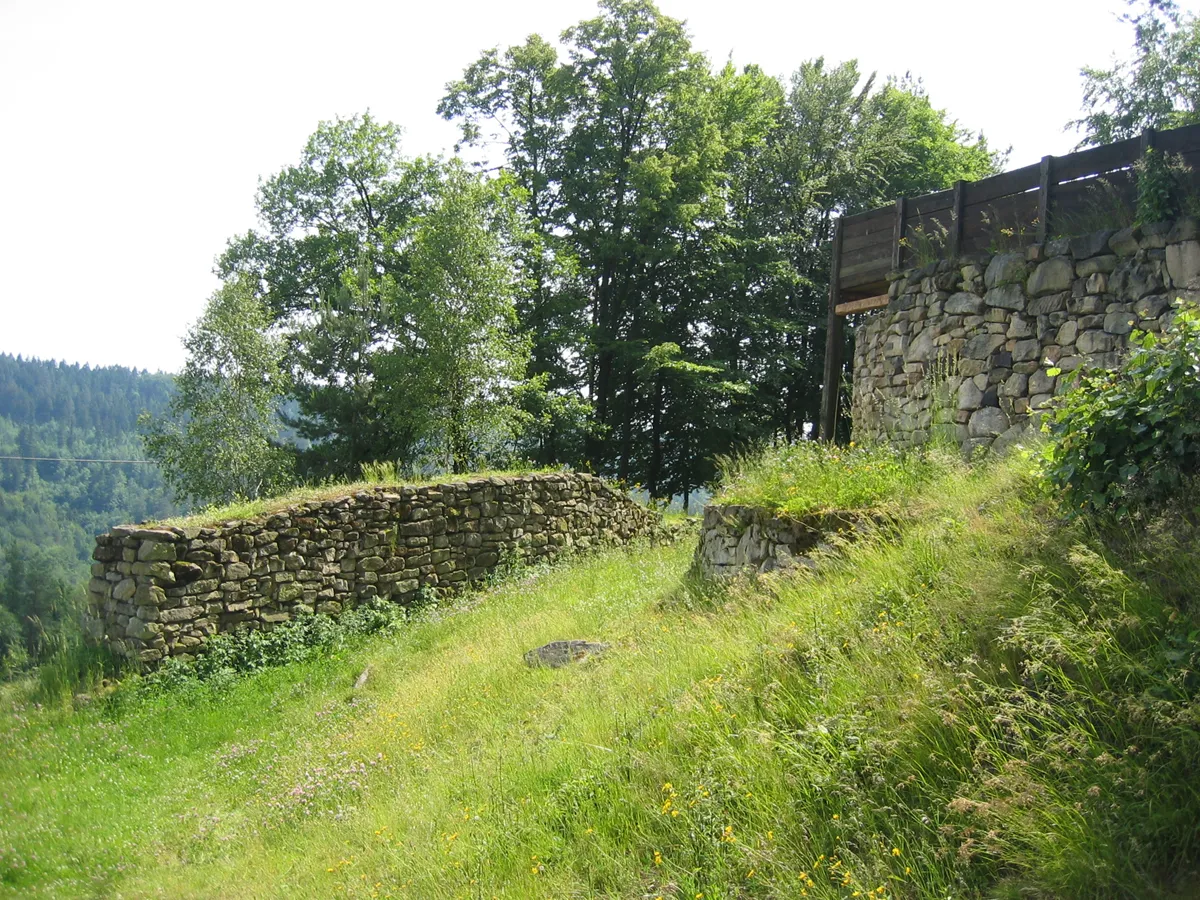
Heunischenburg Stefan Wicklein, Kronach · CC BY-SA 3.0 -
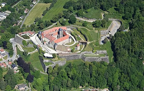
Rosenberg Fortress Carsten Steger · CC BY-SA 4.0 -
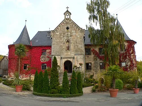
Schloss Schmölz Presse03 · CC BY-SA 3.0


Climate of Witch Tower
Best months for sightseeingBest months for sightseeing: June–August.
This month · November
A cold month
Day 6° · Night 1° · Rain 62 mm
- Hottest month
- July (day 23°)
- Coldest month
- January (night -3°)
- Wettest month
- July (81 mm)
- Driest month
- February (48 mm)
Bars: average monthly low and high temperature. Below: precipitation. Monthly averages for 1970–2000 at about 18 km resolution, adjusted for elevation. Highlighted months are mild and relatively dry. Source: WorldClim 2.1 (CC BY 4.0).
Show values as a table
| Month | Jan | Feb | Mar | Apr | May | Jun | Jul | Aug | Sep | Oct | Nov | Dec |
|---|---|---|---|---|---|---|---|---|---|---|---|---|
| Average high (°C) | 2° | 4° | 8° | 13° | 19° | 21° | 23° | 23° | 18° | 13° | 6° | 3° |
| Average low (°C) | -3° | -3° | 0° | 3° | 7° | 11° | 12° | 12° | 8° | 4° | 1° | -2° |
| Precipitation (mm) | 59 | 48 | 56 | 51 | 62 | 77 | 81 | 64 | 58 | 58 | 62 | 73 |
How to get to Witch Tower
The nearest airport is Nuremberg Airport (NUE), 85 km to the south as the crow flies. The nearest large city is Erlangen, 76 km to the south.
Airports
- Nuremberg Airport (NUE) Nuremberg 85 kmsouth
- Erfurt-Weimar Airport (ERF) Erfurt 86 kmnorth
- Karlovy Vary Airport (KLV) Karlovy Vary 113 kmeast
Nearby large cities
- Erlangen Population: 102.7K 76 kmsouth
- Jena Population: 104.7K 79 kmnorth
- Erfurt Population: 218.8K 84 kmnorth
- Fürth Population: 132K 89 kmsouth
- Gera Population: 104.7K 89 kmnortheast
Straight-line distances; road distances are longer. Airport data: OurAirports.
Day trips from Witch Tower
Within 100 km: 978 historic and cultural sites, 4,396 natural sites, 903 lakes, rivers and coasts.
0–25 km556 places
- Waldstadion Weismain Landmark 18 kmS
- Reginasee Lake 9 kmNW
- Keilstöckteich Lake 7 kmW
- Breitensee Lake 8 kmW
25–60 km2,196 places
- Zipfelteich Lake 51 kmNE
- Wüster Teich Lake 60 kmNE
- Schwanensee Lake 48 kmNE
- Talsperre Schönbrunn Lake 47 kmNW
60–100 km3,525 places
- Buchenwald concentration camp Historic site 87 kmN
- Spitzelberg Mountain 76 kmS
- Stollenberg Mountain 78 kmS
- Deckersberg Mountain 85 kmS
Straight-line distances.
Nearby attractions & nature
Everything nearby-
Rosenberg Fortress Historic site, Kronach0.3 km N
-
Northeastern Defensive Wall Historic site, Kronach0.1 km NW
-
City Tower Landmark, Kronach0.1 km NW
-
Mouse Tower Landmark, Kronach0.2 km SW
-
Stork Tower Landmark, Kronach0.2 km NW
-
Wolfsschlucht Defensive Wall Historic site, Kronach0.2 km W
-
Stadtgraben Defensive Wall Historic site, Kronach0.2 km SW
-
New Bastion Historic site, Kronach0.2 km W
Nearest towns and villages
-
Kronach Town, Kronach0.5 km SE
-
Marktrodach Village, Marktrodach, Markt4.1 km E
-
Marktrodach, Markt Village, Landkreis Kronach4.3 km E
-
Weißenbrunn Village, Landkreis Kronach4.7 km S
More sights in Kronach
-
Heunischenburg Historic site, Kronach4.4 km W
-
Bamberg Gate Historic site, Kronach0.3 km SW
-
St. Anna Chapel Historic site, Kronach0.3 km SW
-
Rose Tower Landmark, Kronach0.3 km SW
-
Gundelsdorf Concentration Camp Historic site, Kronach5.1 km N
Sources & licences
Data last updated: