- Elevation
- 339 m
- above sea level
- Local time
- UTC+01:00
- Europe/Berlin · UTC+01:00
- Airports
- NUE Nuremberg Airport81 km
- ERF Erfurt-Weimar Airport90 km
About Thonberg
Thonberg is a village. Location: Weißenbrunn, Landkreis Kronach. Elevation: 339 m. The best months to visit are June–August. The nearest airport is Nuremberg Airport (81 km). Nearby sights include Thonberg and Lukas-Cranach-Turm.
Photos of Thonberg
-
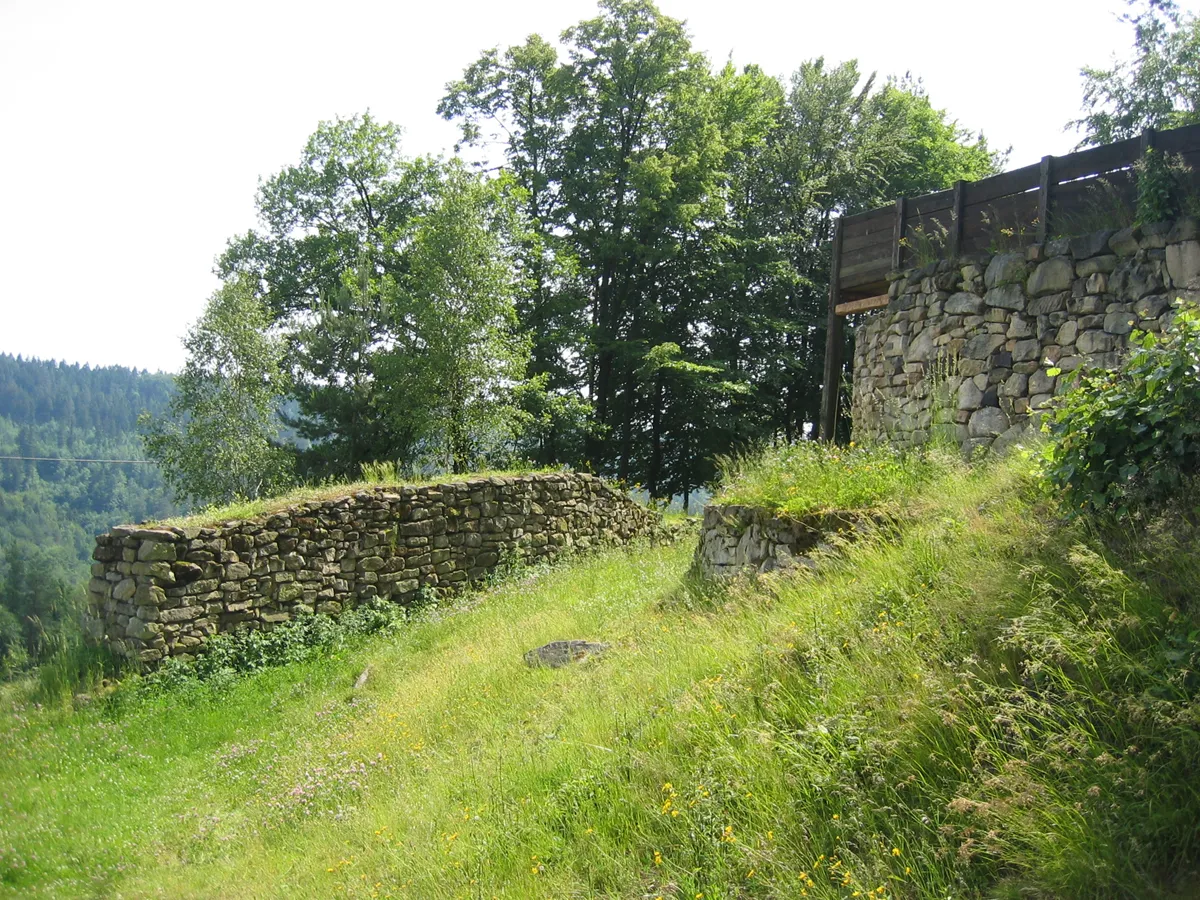
Heunischenburg Stefan Wicklein, Kronach · CC BY-SA 3.0 -
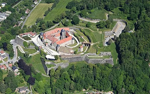
Rosenberg Fortress Carsten Steger · CC BY-SA 4.0 -
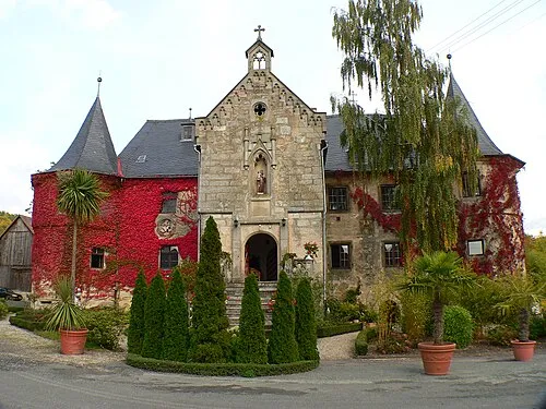
Schloss Schmölz Presse03 · CC BY-SA 3.0


Climate of Thonberg
Best months for sightseeingBest months for sightseeing: June–August.
This month · November
A cold month
Day 6° · Night 1° · Rain 62 mm
- Hottest month
- July (day 23°)
- Coldest month
- January (night -3°)
- Wettest month
- July (81 mm)
- Driest month
- February (48 mm)
Bars: average monthly low and high temperature. Below: precipitation. Monthly averages for 1970–2000 at about 18 km resolution, adjusted for elevation. Highlighted months are mild and relatively dry. Source: WorldClim 2.1 (CC BY 4.0).
Show values as a table
| Month | Jan | Feb | Mar | Apr | May | Jun | Jul | Aug | Sep | Oct | Nov | Dec |
|---|---|---|---|---|---|---|---|---|---|---|---|---|
| Average high (°C) | 2° | 4° | 8° | 13° | 18° | 21° | 23° | 23° | 18° | 13° | 6° | 3° |
| Average low (°C) | -3° | -3° | 0° | 2° | 7° | 10° | 12° | 11° | 8° | 4° | 1° | -2° |
| Precipitation (mm) | 59 | 48 | 56 | 51 | 62 | 77 | 81 | 64 | 58 | 58 | 62 | 73 |
How to get to Thonberg
The nearest airport is Nuremberg Airport (NUE), 81 km to the south as the crow flies. The nearest large city is Erlangen, 72 km to the south.
Airports
- Nuremberg Airport (NUE) Nuremberg 81 kmsouth
- Erfurt-Weimar Airport (ERF) Erfurt 90 kmnorth
- Karlovy Vary Airport (KLV) Karlovy Vary 114 kmeast
Nearby large cities
- Erlangen Population: 102.7K 72 kmsouth
- Jena Population: 104.7K 83 kmnorth
- Fürth Population: 132K 85 kmsouth
- Nuremberg Population: 515.5K 85 kmsouth
- Erfurt Population: 218.8K 88 kmnorth
Straight-line distances; road distances are longer. Airport data: OurAirports.
Day trips from Thonberg
Within 100 km: 978 historic and cultural sites, 4,401 natural sites, 890 lakes, rivers and coasts.
0–25 km546 places
- Waldstadion Weismain Landmark 14 kmS
- Reginasee Lake 11 kmNW
- Keilstöckteich Lake 9 kmNW
- Breitensee Lake 9 kmNW
25–60 km2,228 places
- Zipfelteich Lake 55 kmNE
- Unterer Herrnsee Lake 58 kmSW
- Schwanensee Lake 50 kmNE
- Talsperre Schönbrunn Lake 50 kmNW
60–100 km3,495 places
- Buchenwald concentration camp Historic site 91 kmN
- Spitzelberg Mountain 72 kmS
- Stollenberg Mountain 74 kmS
- Deckersberg Mountain 81 kmS
Straight-line distances.
Nearby attractions & nature
Everything nearby-
Thonberg Mountain, Weißenbrunn0.4 km W
-
Lukas-Cranach-Turm Landmark, Weißenbrunn0.9 km NE
-
Sendeturm Mostrach Landmark, Weißenbrunn1.2 km NE
-
Kugel Mountain, Weißenbrunn1.6 km S
-
Wachtelberg Mountain, Weißenbrunn2.3 km S
-
Großer Roter Bühl Mountain, Kronach2.6 km E
Sources & licences
Data last updated: